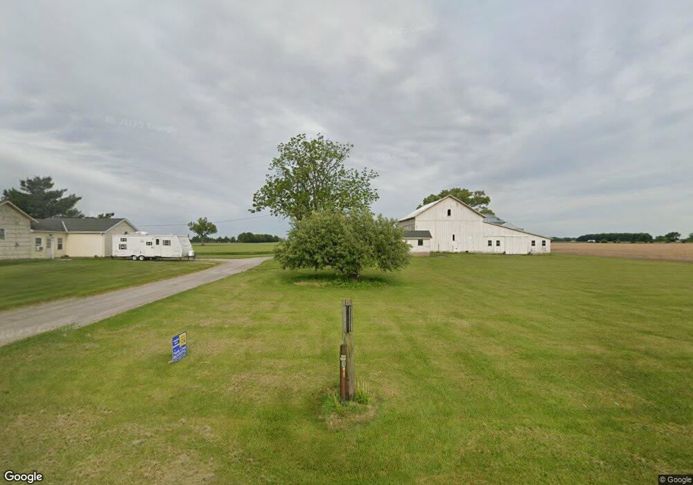
9607 Thomas Rd Monroeville, OH 44847
Estimated Value: $214,000 - $1,656,968
3
Beds
1
Bath
1,593
Sq Ft
$587/Sq Ft
Est. Value
About This Home
This home is located at 9607 Thomas Rd, Monroeville, OH 44847 and is currently estimated at $935,484, approximately $587 per square foot. 9607 Thomas Rd is a home with nearby schools including Edison Elementary School (Formerly Milan Elementary), Edison Middle School (Formerly Berlin-Milan Middle School), and Edison High School.
Ownership History
Date
Name
Owned For
Owner Type
Purchase Details
Closed on
Dec 20, 2017
Sold by
Kaiser Herbert J and Kaiser Robert A
Bought by
Deering Farms Inc
Current Estimated Value
Home Financials for this Owner
Home Financials are based on the most recent Mortgage that was taken out on this home.
Original Mortgage
$500,000
Outstanding Balance
$420,520
Interest Rate
3.9%
Mortgage Type
Commercial
Estimated Equity
$514,964
Purchase Details
Closed on
Jan 1, 1987
Bought by
Kaiser Arlene H
Create a Home Valuation Report for This Property
The Home Valuation Report is an in-depth analysis detailing your home's value as well as a comparison with similar homes in the area
Home Values in the Area
Average Home Value in this Area
Purchase History
| Date | Buyer | Sale Price | Title Company |
|---|---|---|---|
| Deering Farms Inc | $2,020,000 | First American Title | |
| Kaiser Arlene H | -- | -- |
Source: Public Records
Mortgage History
| Date | Status | Borrower | Loan Amount |
|---|---|---|---|
| Open | Deering Farms Inc | $500,000 |
Source: Public Records
Tax History Compared to Growth
Tax History
| Year | Tax Paid | Tax Assessment Tax Assessment Total Assessment is a certain percentage of the fair market value that is determined by local assessors to be the total taxable value of land and additions on the property. | Land | Improvement |
|---|---|---|---|---|
| 2024 | $5,270 | $369,887 | $327,824 | $42,063 |
| 2023 | $5,270 | $230,324 | $198,306 | $32,018 |
| 2022 | $3,429 | $230,320 | $198,306 | $32,014 |
| 2021 | $3,410 | $230,320 | $198,310 | $32,010 |
| 2020 | $4,004 | $230,010 | $198,310 | $31,700 |
| 2019 | $4,146 | $230,010 | $198,310 | $31,700 |
| 2018 | $4,345 | $230,010 | $198,310 | $31,700 |
| 2017 | $4,901 | $192,530 | $165,520 | $27,010 |
| 2016 | $4,865 | $192,530 | $165,520 | $27,010 |
| 2015 | $4,798 | $192,530 | $165,520 | $27,010 |
| 2014 | $3,942 | $136,130 | $104,140 | $31,990 |
| 2013 | $1,947 | $136,130 | $104,140 | $31,990 |
Source: Public Records
Map
Nearby Homes
- 9510 Huron Avery Rd
- 28 Zachary Ln
- 3 Zachary Ln
- 22 Zachary Ln
- 0 Millwood Lots 1 & 2 Unit 20253437
- 43 Center St
- 914 Wood Glen Ct
- 0 S Center St
- 6412 Milan Rd
- 13808 Riley Rd
- 7114 Hayes Ave
- 0 Taylor Brook Ln
- 611 E Bogart Rd
- 128 Center St
- 1006 W Bogart Rd
- 2320 Scheid Rd
- 1701 Paige Ct
- 817 W Bogart Rd
- 93 Elm St
- 1101 W Bogart Rd
- 9703 Thomas Rd
- 9510 Thomas Rd
- 9705 Thomas Rd
- 9715 Thomas Rd
- 9816 Thomas Rd
- 9820 Thomas Rd
- 9220 Thomas Rd
- 8880 Interstate 80
- 9211 Thomas Rd
- 3403 Strecker Rd
- 3402 Strecker Rd
- 3711 Strecker Rd
- 3620 Strecker Rd
- 2707 Strecker Rd W
- 3804 Strecker Rd
- 2619 Strecker Rd W
- 8813 Thomas Rd
- 3808 Strecker Rd
- 2615 Strecker Rd W
- 2308 Mason Rd W