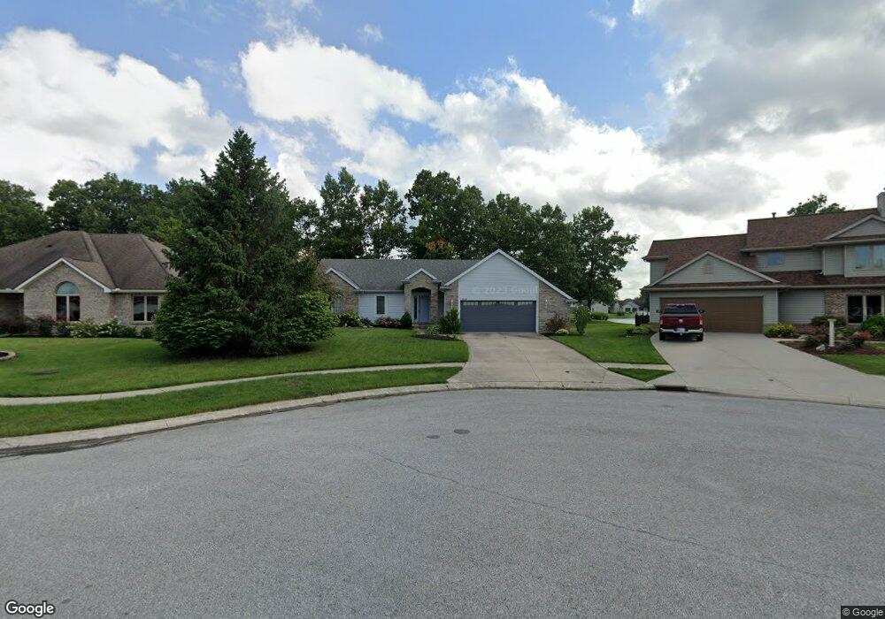
9608 Shellbrook Dr Fort Wayne, IN 46835
Northeast Fort Wayne NeighborhoodEstimated Value: $323,000 - $384,000
3
Beds
3
Baths
1,510
Sq Ft
$228/Sq Ft
Est. Value
About This Home
This home is located at 9608 Shellbrook Dr, Fort Wayne, IN 46835 and is currently estimated at $344,177, approximately $227 per square foot. 9608 Shellbrook Dr is a home located in Allen County with nearby schools including Arlington Elementary School, Jefferson Middle School, and Northrop High School.
Ownership History
Date
Name
Owned For
Owner Type
Purchase Details
Closed on
Dec 28, 2007
Sold by
Miller John N and Miller Linda J
Bought by
Westerman William P
Current Estimated Value
Home Financials for this Owner
Home Financials are based on the most recent Mortgage that was taken out on this home.
Original Mortgage
$151,905
Outstanding Balance
$96,434
Interest Rate
6.27%
Mortgage Type
Purchase Money Mortgage
Estimated Equity
$247,743
Create a Home Valuation Report for This Property
The Home Valuation Report is an in-depth analysis detailing your home's value as well as a comparison with similar homes in the area
Home Values in the Area
Average Home Value in this Area
Purchase History
| Date | Buyer | Sale Price | Title Company |
|---|---|---|---|
| Westerman William P | -- | Commonwealth-Dreibelbiss Tit |
Source: Public Records
Mortgage History
| Date | Status | Borrower | Loan Amount |
|---|---|---|---|
| Open | Westerman William P | $151,905 |
Source: Public Records
Tax History Compared to Growth
Tax History
| Year | Tax Paid | Tax Assessment Tax Assessment Total Assessment is a certain percentage of the fair market value that is determined by local assessors to be the total taxable value of land and additions on the property. | Land | Improvement |
|---|---|---|---|---|
| 2024 | $3,421 | $304,600 | $49,500 | $255,100 |
| 2023 | $3,421 | $299,000 | $49,500 | $249,500 |
| 2022 | $2,899 | $256,000 | $49,500 | $206,500 |
| 2021 | $2,841 | $251,900 | $28,300 | $223,600 |
| 2020 | $2,420 | $220,500 | $28,300 | $192,200 |
| 2019 | $2,371 | $217,200 | $28,300 | $188,900 |
| 2018 | $2,207 | $201,200 | $28,300 | $172,900 |
| 2017 | $1,995 | $180,800 | $28,300 | $152,500 |
| 2016 | $1,947 | $179,600 | $28,300 | $151,300 |
| 2014 | $1,724 | $166,900 | $28,300 | $138,600 |
| 2013 | $1,650 | $160,000 | $28,300 | $131,700 |
Source: Public Records
Map
Nearby Homes
- 9613 Shellbrook Dr
- 6326 Treasure Cove
- 6329 Treasure Cove
- 9803 Snowstar Place
- 6223 Treasure Cove
- 9609 Carine Cove
- 9510 Skipjack Cove
- 5630 Cutters Creek
- 9413 Acacia Passage
- 7913 Maysfield Hill
- 7695 Accio Cove
- 7920 Welland Ct
- 6921 Mangrove Ln
- 7920 Wethersfield Cove
- 10328 Fieldlight Blvd
- 6214 Schwartz Rd
- 7755 Tumnus Trail
- 10255 Tirian Place
- 10249 Tirian Place
- 10299 Tirian Place
- 9614 Shellbrook Dr
- 9602 Shellbrook Dr
- 9633 Trellis Cove
- 9625 Trellis Cove
- 9620 Shellbrook Dr
- 9626 Trellis Cove
- 6717 Orial Place
- 9626 Shellbrook Dr
- 9617 Trellis Cove
- 6714 Mystic Woods Place
- 6722 Orial Place
- 9619 Shellbrook Dr
- 6708 Mystic Woods Place
- 6723 Orial Place
- 9618 Trellis Cove
- 6720 Mystic Woods Place
- 9625 Shellbrook Dr
- 6728 Orial Place
- 6615 Drakes Bay Run
- 6615 Drake's Bay Run