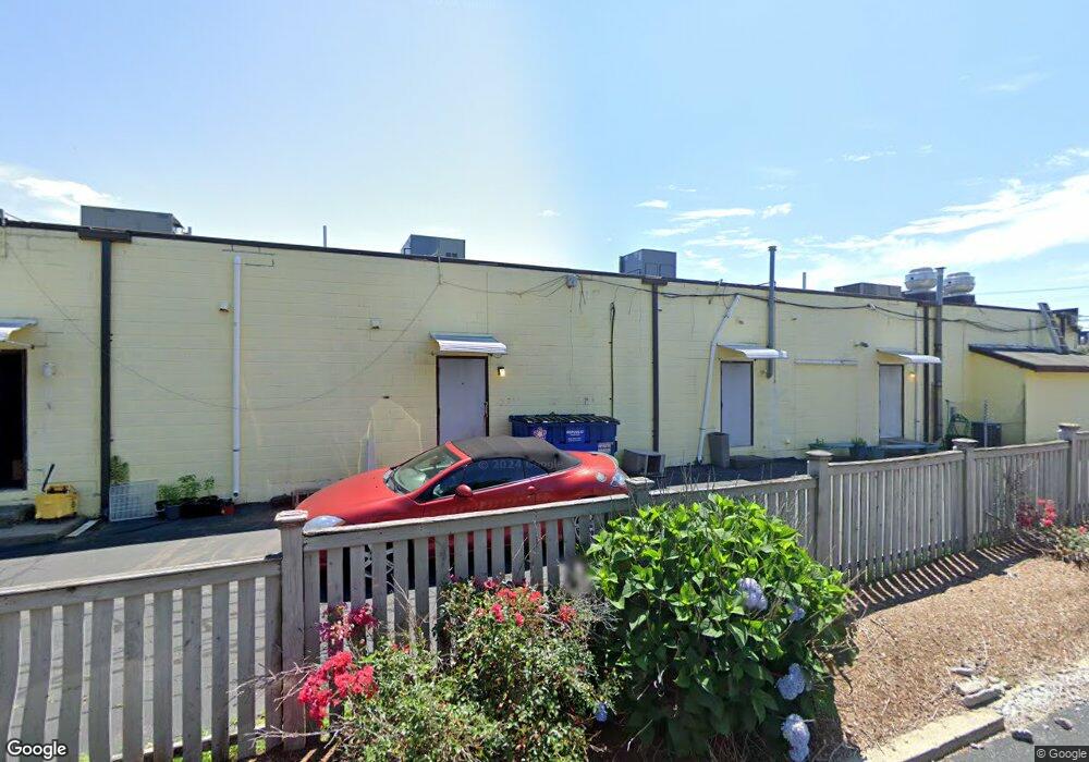
961 Dyer Ave Cranston, RI 02920
Village NeighborhoodEstimated Value: $1,156,173
--
Bed
--
Bath
7,070
Sq Ft
$164/Sq Ft
Est. Value
About This Home
This home is located at 961 Dyer Ave, Cranston, RI 02920 and is currently estimated at $1,156,173, approximately $163 per square foot. 961 Dyer Ave is a home located in Providence County with nearby schools including George J. Peters School, Western Hills Middle School, and Cranston High School West.
Ownership History
Date
Name
Owned For
Owner Type
Purchase Details
Closed on
Jan 23, 2025
Sold by
Diuccio Ciro S and Diuccio Maria S
Bought by
Diuccio Ciro S and Diuccio Maria S
Current Estimated Value
Purchase Details
Closed on
Mar 1, 1995
Sold by
Tomasso Raymond A
Bought by
Diuccio Ciro Scott and Diuccio Maria
Create a Home Valuation Report for This Property
The Home Valuation Report is an in-depth analysis detailing your home's value as well as a comparison with similar homes in the area
Home Values in the Area
Average Home Value in this Area
Purchase History
| Date | Buyer | Sale Price | Title Company |
|---|---|---|---|
| Diuccio Ciro S | -- | None Available | |
| Diuccio Ciro S | -- | None Available | |
| Diuccio Ciro S | -- | None Available | |
| Diuccio Ciro Scott | $285,000 | -- | |
| Diuccio Ciro Scott | $285,000 | -- |
Source: Public Records
Tax History Compared to Growth
Tax History
| Year | Tax Paid | Tax Assessment Tax Assessment Total Assessment is a certain percentage of the fair market value that is determined by local assessors to be the total taxable value of land and additions on the property. | Land | Improvement |
|---|---|---|---|---|
| 2025 | $15,690 | $753,600 | $208,900 | $544,700 |
| 2024 | $15,389 | $753,600 | $208,900 | $544,700 |
| 2023 | $19,026 | $671,100 | $179,500 | $491,600 |
| 2022 | $18,636 | $671,100 | $179,500 | $491,600 |
| 2021 | $18,120 | $671,100 | $179,500 | $491,600 |
| 2020 | $18,039 | $578,900 | $163,200 | $415,700 |
| 2019 | $18,039 | $578,900 | $163,200 | $415,700 |
| 2018 | $17,622 | $578,900 | $163,200 | $415,700 |
| 2017 | $18,829 | $547,200 | $163,200 | $384,000 |
| 2016 | $18,430 | $547,200 | $163,200 | $384,000 |
| 2015 | $18,106 | $537,600 | $163,200 | $374,400 |
| 2014 | $18,156 | $530,100 | $199,100 | $331,000 |
Source: Public Records
Map
Nearby Homes
- 92 Rhode Island St
- 46 Roslyn Ave
- 14 New Hampshire St
- 111 Belgium St
- 9 Southern St
- 70 Florida Ave
- 1574 Cranston St
- 55 Columbus Blvd
- 174 Gansett Ave
- 7 Cleveland Ave
- 54 Randall St
- 63 Packard St
- 80 Packard St
- 761 Dyer Ave
- 86 Sherwood St
- 18 Standish Ave
- 1303 Cranston St
- 2 Gansett Ave
- 0 Doane St
- 80 Phenix Ave
- 1353 Park Ave
- 3 Budlong Rd
- 941 Dyer Ave
- 941-945 Dyer Ave
- 1 Budlong Rd
- 0 Budlong Rd
- 0 Budlong Rd
- 1350 Park Ave
- 1334 Park Ave
- 1369 Park Ave
- 6 Budlong Rd
- 15 Budlong Rd
- 8 Budlong Rd
- 10 Budlong Rd
- 1372 Park Ave
- 1299 Park Ave
- 12 Old Park Ave
- 126 Vermont St Unit 128
- 119 Massachusetts St Unit 121
- 0 Macklin St