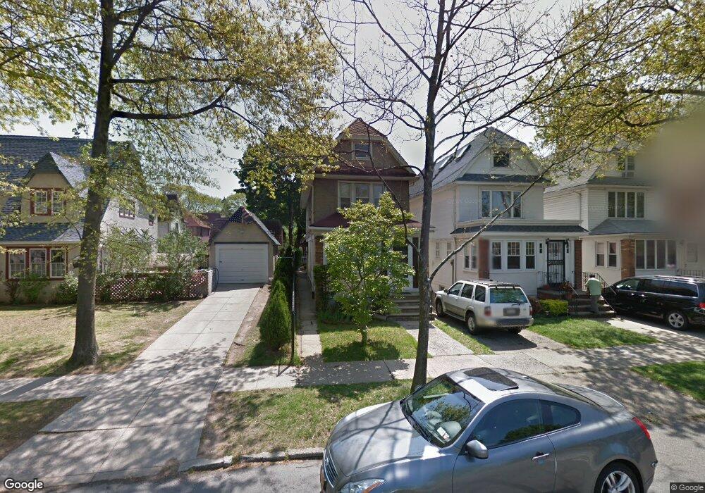
9610 71st Ave Forest Hills, NY 11375
Forest Hills NeighborhoodEstimated Value: $1,336,000 - $1,546,045
Studio
--
Bath
1,976
Sq Ft
$731/Sq Ft
Est. Value
About This Home
This home is located at 9610 71st Ave, Forest Hills, NY 11375 and is currently estimated at $1,443,511, approximately $730 per square foot. 9610 71st Ave is a home located in Queens County with nearby schools including Ps 101 School In The Gardens, J.H.S. 190 Russell Sage, and Queens Metropolitan High School.
Ownership History
Date
Name
Owned For
Owner Type
Purchase Details
Closed on
Nov 10, 2003
Sold by
Ho Shen Jy
Bought by
Cheung Samuel Yu Fai
Current Estimated Value
Home Financials for this Owner
Home Financials are based on the most recent Mortgage that was taken out on this home.
Original Mortgage
$322,000
Interest Rate
5.71%
Mortgage Type
Purchase Money Mortgage
Create a Home Valuation Report for This Property
The Home Valuation Report is an in-depth analysis detailing your home's value as well as a comparison with similar homes in the area
Home Values in the Area
Average Home Value in this Area
Purchase History
| Date | Buyer | Sale Price | Title Company |
|---|---|---|---|
| Cheung Samuel Yu Fai | $510,000 | -- |
Source: Public Records
Mortgage History
| Date | Status | Borrower | Loan Amount |
|---|---|---|---|
| Previous Owner | Cheung Samuel Yu Fai | $322,000 | |
| Closed | Cheung Samuel Yu Fai | $86,000 |
Source: Public Records
Tax History
| Year | Tax Paid | Tax Assessment Tax Assessment Total Assessment is a certain percentage of the fair market value that is determined by local assessors to be the total taxable value of land and additions on the property. | Land | Improvement |
|---|---|---|---|---|
| 2025 | $10,600 | $55,180 | $9,265 | $45,915 |
| 2024 | $10,612 | $54,174 | $10,791 | $43,383 |
| 2023 | $9,996 | $51,166 | $9,338 | $41,828 |
| 2022 | $9,412 | $101,100 | $17,640 | $83,460 |
| 2021 | $9,385 | $98,040 | $17,640 | $80,400 |
| 2020 | $9,437 | $84,300 | $17,640 | $66,660 |
| 2019 | $7,272 | $92,880 | $17,640 | $75,240 |
| 2018 | $8,394 | $42,638 | $10,052 | $32,586 |
| 2017 | $7,954 | $40,488 | $10,941 | $29,547 |
| 2016 | $7,354 | $40,488 | $10,941 | $29,547 |
| 2015 | $4,387 | $38,319 | $12,644 | $25,675 |
| 2014 | $4,387 | $37,621 | $13,684 | $23,937 |
Source: Public Records
Map
Nearby Homes
- 70-51 Juno St
- 70-47 Juno St
- 7141 Loubet St
- 7136 Loubet St
- 70-43 Nansen St
- 6915 Loubet St
- 69-27 Manse St
- 94-11 69th Ave Unit 102
- 99-35 74th Ave
- 9307 69th Ave
- 9139 71st Ave
- 91-35 71st Ave
- 68-48 Juno St Unit Whole Building
- 89-18 69th Ave
- 9701 69th Ave
- 205 Puritan Ave
- 9010 70th Dr
- 100-01 75th Ave
- 6836 Groton St
- 69-36 Dartmouth St
Your Personal Tour Guide
Ask me questions while you tour the home.