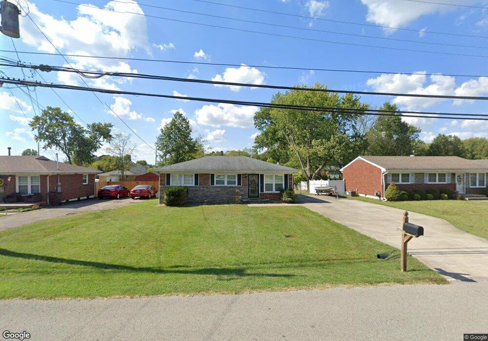
9610 Maple Rd Louisville, KY 40229
Estimated Value: $186,000 - $216,000
3
Beds
1
Bath
925
Sq Ft
$211/Sq Ft
Est. Value
About This Home
This home is located at 9610 Maple Rd, Louisville, KY 40229 and is currently estimated at $194,966, approximately $210 per square foot. 9610 Maple Rd is a home located in Jefferson County with nearby schools including Wilt Elementary School, Bates Elementary School, and Price Elementary School.
Ownership History
Date
Name
Owned For
Owner Type
Purchase Details
Closed on
Oct 28, 2009
Sold by
Garr Timothy
Bought by
Sturgeon Mark L
Current Estimated Value
Home Financials for this Owner
Home Financials are based on the most recent Mortgage that was taken out on this home.
Original Mortgage
$93,279
Outstanding Balance
$61,032
Interest Rate
5.04%
Mortgage Type
FHA
Estimated Equity
$133,934
Purchase Details
Closed on
Jul 26, 2007
Sold by
Blair Carrie J and Garr Carrie J
Bought by
Garr Timothy
Home Financials for this Owner
Home Financials are based on the most recent Mortgage that was taken out on this home.
Original Mortgage
$88,950
Interest Rate
6.71%
Mortgage Type
Purchase Money Mortgage
Create a Home Valuation Report for This Property
The Home Valuation Report is an in-depth analysis detailing your home's value as well as a comparison with similar homes in the area
Home Values in the Area
Average Home Value in this Area
Purchase History
| Date | Buyer | Sale Price | Title Company |
|---|---|---|---|
| Sturgeon Mark L | $95,000 | None Available | |
| Garr Timothy | $88,950 | None Available |
Source: Public Records
Mortgage History
| Date | Status | Borrower | Loan Amount |
|---|---|---|---|
| Open | Sturgeon Mark L | $93,279 | |
| Previous Owner | Garr Timothy | $88,950 |
Source: Public Records
Tax History Compared to Growth
Tax History
| Year | Tax Paid | Tax Assessment Tax Assessment Total Assessment is a certain percentage of the fair market value that is determined by local assessors to be the total taxable value of land and additions on the property. | Land | Improvement |
|---|---|---|---|---|
| 2024 | -- | $124,720 | $31,000 | $93,720 |
| 2023 | $915 | $124,720 | $31,000 | $93,720 |
| 2022 | $987 | $86,090 | $20,000 | $66,090 |
| 2021 | $577 | $86,090 | $20,000 | $66,090 |
| 2020 | $551 | $86,090 | $20,000 | $66,090 |
| 2019 | $507 | $86,090 | $20,000 | $66,090 |
| 2018 | $519 | $86,090 | $20,000 | $66,090 |
| 2017 | $509 | $86,090 | $20,000 | $66,090 |
| 2013 | $950 | $95,000 | $20,000 | $75,000 |
Source: Public Records
Map
Nearby Homes
- 6516 Brook Bend Way Unit 134
- 6113 Chambers Way
- 9429 Chambers Way
- 9601 McNeely Lake Dr Unit 9601
- 9804 McNeely Lake Dr
- 6505 Cooper Chapel Rd
- 6504 Price Lane Rd
- 9302 Fairridge Dr
- 9409 Coolridge Dr
- 11102 Meadow Run Rd
- 9415 River Trail Dr
- 5406 Wild Horse Ct
- 5231 Oldshire Rd
- 11305 Top Walnut Loop
- 5306 Wild River Ct
- 9011 Lantana Dr
- 9621 Riverwalk Ave Unit 62
- 10007 Charleswood Rd
- 9017 Manslick Commons Dr
- 9637 River Trail Dr
- 9608 Maple Rd
- 9612 Maple Rd
- 9606 Maple Rd
- 9614 Maple Rd
- 6108 Cooper Chapel Rd
- 6106 Cooper Chapel Rd
- 6110 Cooper Chapel Rd
- 9604 Maple Rd
- 6112 Cooper Chapel Rd
- 6104 Cooper Chapel Rd
- 9616 Maple Rd
- 9611 Maple Rd
- 9607 Maple Rd
- 9613 Maple Rd
- 6114 Cooper Chapel Rd
- 9602 Maple Rd
- 6102 Cooper Chapel Rd
- 9605 Maple Rd
- 9615 Maple Rd
- 9618 Maple Rd