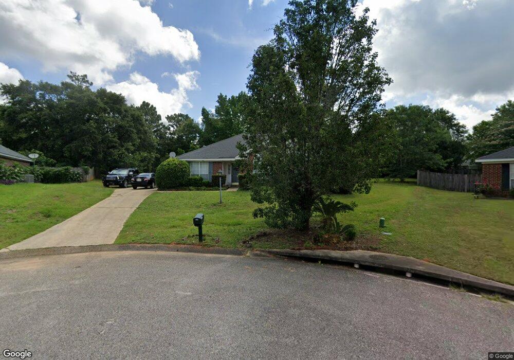
9610 Oak Forrest Place Mobile, AL 36695
Baker NeighborhoodEstimated Value: $209,687 - $249,000
3
Beds
2
Baths
1,563
Sq Ft
$149/Sq Ft
Est. Value
About This Home
This home is located at 9610 Oak Forrest Place, Mobile, AL 36695 and is currently estimated at $233,172, approximately $149 per square foot. 9610 Oak Forrest Place is a home located in Mobile County with nearby schools including Elsie Collier Elementary School, Bernice J Causey Middle School, and Baker High School.
Ownership History
Date
Name
Owned For
Owner Type
Purchase Details
Closed on
Dec 8, 2003
Sold by
Warrington Willie G and Warrington Melanie W
Bought by
Abdulla Abbas A
Current Estimated Value
Home Financials for this Owner
Home Financials are based on the most recent Mortgage that was taken out on this home.
Original Mortgage
$116,669
Outstanding Balance
$54,440
Interest Rate
5.98%
Mortgage Type
FHA
Estimated Equity
$178,732
Create a Home Valuation Report for This Property
The Home Valuation Report is an in-depth analysis detailing your home's value as well as a comparison with similar homes in the area
Home Values in the Area
Average Home Value in this Area
Purchase History
| Date | Buyer | Sale Price | Title Company |
|---|---|---|---|
| Abdulla Abbas A | -- | Surety Land Title Inc |
Source: Public Records
Mortgage History
| Date | Status | Borrower | Loan Amount |
|---|---|---|---|
| Open | Abdulla Abbas A | $116,669 |
Source: Public Records
Tax History Compared to Growth
Tax History
| Year | Tax Paid | Tax Assessment Tax Assessment Total Assessment is a certain percentage of the fair market value that is determined by local assessors to be the total taxable value of land and additions on the property. | Land | Improvement |
|---|---|---|---|---|
| 2024 | $768 | $15,770 | $4,000 | $11,770 |
| 2023 | $736 | $15,120 | $4,000 | $11,120 |
| 2022 | $597 | $13,700 | $4,000 | $9,700 |
| 2021 | $583 | $13,380 | $4,000 | $9,380 |
| 2020 | $606 | $13,870 | $3,200 | $10,670 |
| 2019 | $606 | $13,880 | $0 | $0 |
| 2018 | $612 | $14,000 | $0 | $0 |
| 2017 | $598 | $12,260 | $0 | $0 |
| 2016 | $538 | $12,480 | $0 | $0 |
| 2013 | $605 | $13,040 | $0 | $0 |
Source: Public Records
Map
Nearby Homes
- 9665 Oak Forrest Dr
- 1120 Colonial Hills Dr
- 9510 Gaslight Ct
- 9410 Ashwood Ct
- 9556 Bridgeton Ct
- 1261 Comstock Ct
- 1100 Wellington Ct S
- 9601 Royal Woods Dr S
- 960 Abilene Dr W
- 1081 Hillside Ct
- 1345 Camden Ct
- 9751 Pine Knoll Rd
- 11900 Airport Blvd
- 811 Royal Woods Dr W
- 1151 Seven Hills Curve S
- 789 Royal Woods Dr W Unit 7
- 9301 Airport Blvd
- 791 Copperfield Dr W
- 750 Hale Rd
- 9841 Shadow Wood Dr
- 9620 Oak Forrest Place
- 1210 Colonial Hills Dr
- 1220 Colonial Hills Dr
- 1190 Colonial Hills Dr
- 9600 Oak Forrest Place
- 1180 Colonial Hills Dr
- 1230 Colonial Hills Dr
- 9615 Oak Forrest Dr
- 9625 Oak Forrest Dr
- 9603 Oak Forrest Place
- 9613 Oak Forrest Place
- 9605 Oak Forrest Dr
- 1240 Colonial Hills Dr
- 1170 Colonial Hills Dr
- 9623 Oak Forrest Place
- 1250 Colonial Hills Dr
- 9630 Hanford Ct
- 9620 Hanford Ct
- 1225 Colonial Hills Dr
- 1205 Colonial Hills Dr