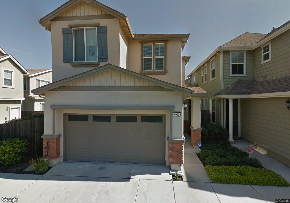
9612 Dunbar Dr Oakland, CA 94603
Elmhurst Park NeighborhoodEstimated Value: $656,172 - $798,000
3
Beds
3
Baths
1,414
Sq Ft
$512/Sq Ft
Est. Value
About This Home
This home is located at 9612 Dunbar Dr, Oakland, CA 94603 and is currently estimated at $723,793, approximately $511 per square foot. 9612 Dunbar Dr is a home located in Alameda County with nearby schools including Fred T. Korematsu Discovery Academy, Esperanza Elementary School, and Madison Park Academy (6-12).
Ownership History
Date
Name
Owned For
Owner Type
Purchase Details
Closed on
Oct 13, 2010
Sold by
Pulte Home Corporation
Bought by
Low Theodore T and Low Angie Y
Current Estimated Value
Home Financials for this Owner
Home Financials are based on the most recent Mortgage that was taken out on this home.
Original Mortgage
$149,900
Interest Rate
4.21%
Mortgage Type
New Conventional
Create a Home Valuation Report for This Property
The Home Valuation Report is an in-depth analysis detailing your home's value as well as a comparison with similar homes in the area
Home Values in the Area
Average Home Value in this Area
Purchase History
| Date | Buyer | Sale Price | Title Company |
|---|---|---|---|
| Low Theodore T | $300,000 | Chicago Title Company |
Source: Public Records
Mortgage History
| Date | Status | Borrower | Loan Amount |
|---|---|---|---|
| Previous Owner | Low Theodore T | $149,900 |
Source: Public Records
Tax History Compared to Growth
Tax History
| Year | Tax Paid | Tax Assessment Tax Assessment Total Assessment is a certain percentage of the fair market value that is determined by local assessors to be the total taxable value of land and additions on the property. | Land | Improvement |
|---|---|---|---|---|
| 2025 | $6,497 | $377,201 | $115,299 | $268,902 |
| 2024 | $6,497 | $369,671 | $113,039 | $263,632 |
| 2023 | $6,759 | $369,287 | $110,823 | $258,464 |
| 2022 | $6,547 | $355,047 | $108,650 | $253,397 |
| 2021 | $6,187 | $347,949 | $106,520 | $248,429 |
| 2020 | $6,118 | $351,311 | $105,428 | $245,883 |
| 2019 | $5,842 | $344,425 | $103,362 | $241,063 |
| 2018 | $5,617 | $337,675 | $101,336 | $236,339 |
| 2017 | $5,485 | $331,056 | $99,350 | $231,706 |
| 2016 | $5,260 | $324,566 | $97,402 | $227,164 |
| 2015 | $5,229 | $319,693 | $95,940 | $223,753 |
| 2014 | $5,241 | $313,430 | $94,060 | $219,370 |
Source: Public Records
Map
Nearby Homes
- 9616 Dunbar Dr
- 818 Tubman Dr
- 9620 Dunbar Dr
- 9613 Armstrong Dr
- 812 Tubman Dr
- 9617 Armstrong Dr
- 9621 Armstrong Dr
- 824 Tubman Dr
- 9624 Dunbar Dr
- 830 Tubman Dr
- 9565 Armstrong Dr
- 9625 Armstrong Dr
- 9628 Dunbar Dr
- 9629 Armstrong Dr
- 9632 Dunbar Dr
- 9616 Armstrong Dr
- 9620 Armstrong Dr
- 9633 Armstrong Dr
- 9608 Armstrong Dr
- 9612 Armstrong Dr