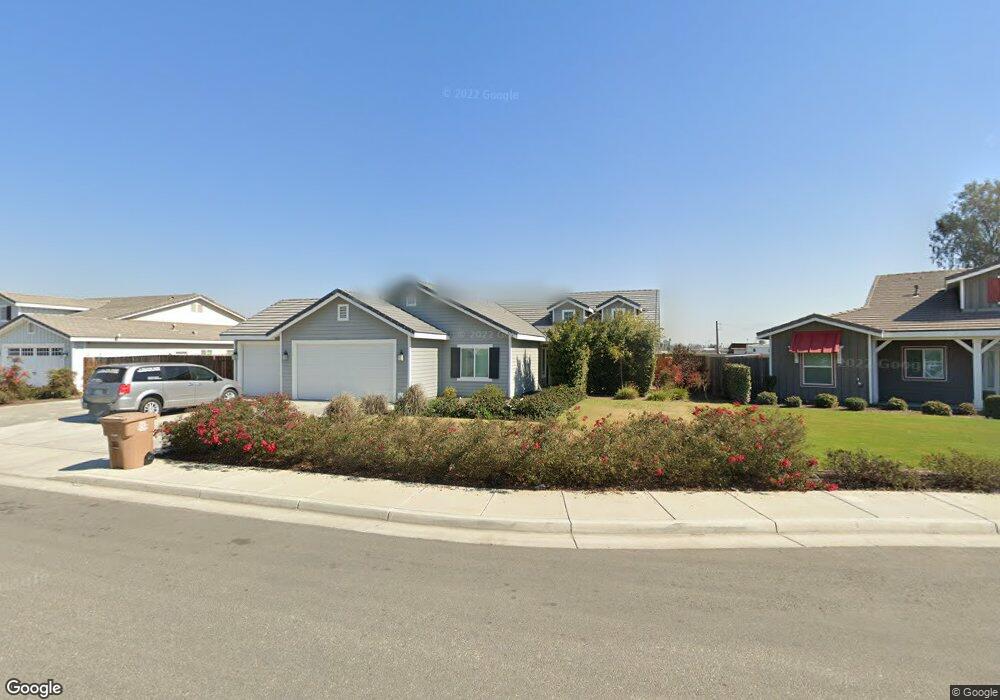
9614 Moonrock Way Bakersfield, CA 93313
Stonegate NeighborhoodEstimated Value: $533,000 - $670,000
4
Beds
3
Baths
2,349
Sq Ft
$249/Sq Ft
Est. Value
About This Home
This home is located at 9614 Moonrock Way, Bakersfield, CA 93313 and is currently estimated at $583,740, approximately $248 per square foot. 9614 Moonrock Way is a home with nearby schools including Panama Elementary School, Stonecreek Junior High School, and Ridgeview High School.
Ownership History
Date
Name
Owned For
Owner Type
Purchase Details
Closed on
Oct 26, 2018
Sold by
Alhelow Maysa Issam
Bought by
Alhelow Anmar I
Current Estimated Value
Purchase Details
Closed on
Nov 14, 2016
Sold by
D & A Premier Properties Llc
Bought by
Alhelow Maysa Issam
Create a Home Valuation Report for This Property
The Home Valuation Report is an in-depth analysis detailing your home's value as well as a comparison with similar homes in the area
Home Values in the Area
Average Home Value in this Area
Purchase History
| Date | Buyer | Sale Price | Title Company |
|---|---|---|---|
| Alhelow Anmar I | -- | None Available | |
| Alhelow Maysa Issam | $345,000 | Chicago Title Company |
Source: Public Records
Tax History Compared to Growth
Tax History
| Year | Tax Paid | Tax Assessment Tax Assessment Total Assessment is a certain percentage of the fair market value that is determined by local assessors to be the total taxable value of land and additions on the property. | Land | Improvement |
|---|---|---|---|---|
| 2025 | $5,746 | $432,817 | $111,550 | $321,267 |
| 2024 | $5,655 | $424,331 | $109,363 | $314,968 |
| 2023 | $5,655 | $416,012 | $107,219 | $308,793 |
| 2022 | $5,430 | $407,856 | $105,117 | $302,739 |
| 2021 | $5,298 | $399,859 | $103,056 | $296,803 |
| 2020 | $5,235 | $395,760 | $102,000 | $293,760 |
| 2019 | $5,137 | $395,760 | $102,000 | $293,760 |
| 2018 | $4,585 | $351,900 | $71,400 | $280,500 |
| 2017 | $4,571 | $345,000 | $70,000 | $275,000 |
| 2016 | $204 | $13,135 | $13,135 | $0 |
Source: Public Records
Map
Nearby Homes
- 3527 Big Trail Ave
- 9202 Mcclintock Rd
- 3044 Emerson Way
- 3304 Bridget Ave
- 3406 Kimmie Rachelle Ct
- 4403 Oceanrock Ave
- 3045 Emerson Way
- 4620 Taft Hwy
- 3500 Stonecreek Ave
- 3304 Brisbane Ave Unit B
- 4614 Crosshaven Ave Unit 1
- 5103 Green Clover Ave
- 3006 Giovanetti Ave Unit 2
- 2714 Tara Leigh Dr
- 8120 Rockhampton Dr
- 8119 Willoughby Ct
- 8912 Claudia Ct
- 8806 Maria Angelica St
- 9003 Great Harvest Dr
- 2310 Taft Hwy
- 9620 Moonrock Way
- 9608 Moonrock Way
- 4006 Smoky Rock Ct
- 9517 Mcclintock Rd
- 9513 Mcclintock Rd
- 4005 Rolling Rock Ave
- 9602 Moonrock Way
- 4001 Smoky Rock Ct
- 3848 Taft Hwy
- 9509 Mcclintock Rd
- 4012 Smoky Rock Ct
- 4007 Smoky Rock Ct
- 4011 Rolling Rock Ave
- 4000 Rolling Rock Ave
- 3707 Rio Lobo Ln
- 9505 Mcclintock Rd
- 4013 Smoky Rock Ct
- 4006 Rolling Rock Ave
- 4018 Smoky Rock Ct
- 4017 Rolling Rock Ave