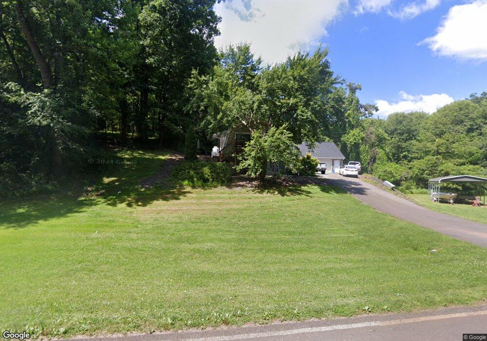
962 Brindle Rd Dobson, NC 27017
Estimated Value: $232,000 - $395,000
3
Beds
2
Baths
1,520
Sq Ft
$203/Sq Ft
Est. Value
About This Home
This home is located at 962 Brindle Rd, Dobson, NC 27017 and is currently estimated at $309,038, approximately $203 per square foot. 962 Brindle Rd is a home with nearby schools including Rockford Elementary School, Central Middle School, and Surry Central High School.
Ownership History
Date
Name
Owned For
Owner Type
Purchase Details
Closed on
Oct 30, 2007
Sold by
Wall Michelle W and Wall Adam B
Bought by
Bledsoe Kevin and Bledsoe Misty
Current Estimated Value
Home Financials for this Owner
Home Financials are based on the most recent Mortgage that was taken out on this home.
Original Mortgage
$158,000
Outstanding Balance
$98,892
Interest Rate
6.26%
Mortgage Type
New Conventional
Estimated Equity
$210,146
Purchase Details
Closed on
Nov 1, 2002
Purchase Details
Closed on
Dec 1, 1987
Purchase Details
Closed on
Sep 1, 1971
Purchase Details
Closed on
Jul 1, 1966
Create a Home Valuation Report for This Property
The Home Valuation Report is an in-depth analysis detailing your home's value as well as a comparison with similar homes in the area
Purchase History
| Date | Buyer | Sale Price | Title Company |
|---|---|---|---|
| Bledsoe Kevin | $158,000 | None Available | |
| -- | $64,000 | -- | |
| -- | $42,500 | -- | |
| -- | -- | -- | |
| -- | -- | -- |
Source: Public Records
Mortgage History
| Date | Status | Borrower | Loan Amount |
|---|---|---|---|
| Open | Bledsoe Kevin | $158,000 |
Source: Public Records
Tax History
| Year | Tax Paid | Tax Assessment Tax Assessment Total Assessment is a certain percentage of the fair market value that is determined by local assessors to be the total taxable value of land and additions on the property. | Land | Improvement |
|---|---|---|---|---|
| 2025 | $1,191 | $195,840 | $46,670 | $149,170 |
| 2024 | $940 | $140,410 | $37,340 | $103,070 |
| 2023 | $925 | $140,410 | $37,340 | $103,070 |
| 2022 | $918 | $140,410 | $37,340 | $103,070 |
| 2021 | $933 | $140,410 | $37,340 | $103,070 |
| 2020 | $900 | $131,520 | $33,600 | $97,920 |
| 2019 | $897 | $131,520 | $0 | $0 |
| 2018 | $882 | $131,520 | $0 | $0 |
| 2017 | $894 | $131,520 | $0 | $0 |
| 2016 | $885 | $131,520 | $0 | $0 |
| 2013 | -- | $132,160 | $0 | $0 |
Source: Public Records
Map
Nearby Homes
- 504 Cody Trail
- 149 Vance St
- 111 Arthur Haney Rd
- 607 Blessing Dr
- 602 S Main St
- 147 Michael Dr
- 621 W Atkins St
- TBD Norman Ln
- 215 Arthur Haney Rd
- 311 James St
- Grover Simmons Rd
- Grover Simmons Rd
- 209 Freeman St
- 308 Main St Unit Tract 2 land only
- 00 U S 601
- 00 US Highway 601 U S 601 Unit 10
- 00 US Highway 601 U S 601 Unit 9
- 331 Collins Rd
- 0 Main St Unit 1127207
- 151 Goodall Ln
- 142 Garden Way
- 181 Leather Ln
- 1041 Brindle Rd
- 104 Wayside Ln
- 1030 Brindle Rd
- TBD Brindle Rd
- 200 Leather Ln
- 130 Angell Ln
- 690 Cody Trail
- 135 Angell Ln
- 727 Cody Trail
- 650 Cody Trail
- 124 Leather Ln
- 768 Cody Trail
- 641 Cody Trail
- 784 Cody Trail
- 612 Cody Trail
- 787 Brindle Rd
- 201 Union Cross Rd
- 813 Brindle Rd
Your Personal Tour Guide
Ask me questions while you tour the home.