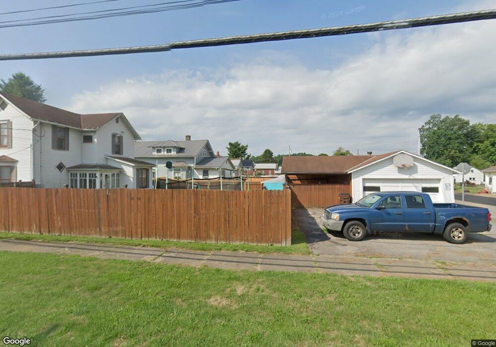
962 Cr 2256 Perrysville, OH 44864
Estimated Value: $376,000 - $831,000
3
Beds
3
Baths
3,346
Sq Ft
$176/Sq Ft
Est. Value
About This Home
This home is located at 962 Cr 2256, Perrysville, OH 44864 and is currently estimated at $587,400, approximately $175 per square foot. 962 Cr 2256 is a home located in Ashland County with nearby schools including Hillsdale Elementary School, Hillsdale Middle School, and Hillsdale High School.
Ownership History
Date
Name
Owned For
Owner Type
Purchase Details
Closed on
Mar 16, 2022
Sold by
Laing Mark D and Laing Maria L
Bought by
Millard Jacob P and Millard Jennifer L
Current Estimated Value
Home Financials for this Owner
Home Financials are based on the most recent Mortgage that was taken out on this home.
Original Mortgage
$369,750
Outstanding Balance
$343,994
Interest Rate
3.55%
Mortgage Type
New Conventional
Estimated Equity
$243,406
Purchase Details
Closed on
Apr 26, 2017
Sold by
Richard Harned
Bought by
Laing Mark D and Laing Maria L
Home Financials for this Owner
Home Financials are based on the most recent Mortgage that was taken out on this home.
Original Mortgage
$229,500
Interest Rate
3.5%
Mortgage Type
New Conventional
Purchase Details
Closed on
Jan 1, 1990
Bought by
Harned Connie M
Create a Home Valuation Report for This Property
The Home Valuation Report is an in-depth analysis detailing your home's value as well as a comparison with similar homes in the area
Home Values in the Area
Average Home Value in this Area
Purchase History
| Date | Buyer | Sale Price | Title Company |
|---|---|---|---|
| Millard Jacob P | $437,500 | None Listed On Document | |
| Laing Mark D | $255,000 | -- | |
| Harned Connie M | -- | -- |
Source: Public Records
Mortgage History
| Date | Status | Borrower | Loan Amount |
|---|---|---|---|
| Open | Millard Jacob P | $369,750 | |
| Previous Owner | Laing Mark D | $229,500 |
Source: Public Records
Tax History Compared to Growth
Tax History
| Year | Tax Paid | Tax Assessment Tax Assessment Total Assessment is a certain percentage of the fair market value that is determined by local assessors to be the total taxable value of land and additions on the property. | Land | Improvement |
|---|---|---|---|---|
| 2024 | $4,213 | $129,300 | $31,250 | $98,050 |
| 2023 | $4,213 | $129,300 | $31,250 | $98,050 |
| 2022 | $3,664 | $89,170 | $21,550 | $67,620 |
| 2021 | $3,670 | $89,170 | $21,550 | $67,620 |
| 2020 | $3,435 | $89,170 | $21,550 | $67,620 |
| 2019 | $3,591 | $91,600 | $15,950 | $75,650 |
| 2018 | $3,207 | $82,250 | $15,950 | $66,300 |
| 2017 | $3,284 | $82,250 | $15,950 | $66,300 |
| 2016 | $2,867 | $71,530 | $13,870 | $57,660 |
| 2015 | $2,767 | $71,530 | $13,870 | $57,660 |
| 2013 | $3,240 | $82,260 | $14,000 | $68,260 |
Source: Public Records
Map
Nearby Homes
- 0 Township Road 925
- 1048 Township Road 2156
- 968 Township Road 2506
- 820 County Road 30a
- 1106 County Road 30a
- 0 Applegate Rd
- 1183 County Road 30a
- 19 Maine St
- 2428 Applegate Rd
- 609 Ohio 95
- 150 E Main St
- 0 Ashland County Road 2175
- 0 Ashland County Road 2175
- 0 Mount Zion Rd Unit 9069748
- 560 Township Road 2402
- 0 Twp Rd 1806 Unit 11591470
- 68.40 Acres Trumpower Rd
- 0 Trumpower Rd
- 3386 Trumpower Rd
- 945 Pike Dr
- 962 County Road 2256
- 922 County Road 2256
- 2025 Ohio 511
- 2513 Ohio 511
- 2506 Ohio 511
- 0 Ohio 511
- 2244 State Route 511
- 2256 State Route 511
- 2240 State Route 511
- 0 County Road 2256
- 2234 Ohio 511
- 2288 Township Road 925
- 2220 State Route 511
- 1016 County Road 2256
- 2314 Township Road 925
- 955 Township Road 2206
- 2245 Township Road 925
- 946 Township Road 2206
- 978 Township Road 2206
- 962 Township Road 2206