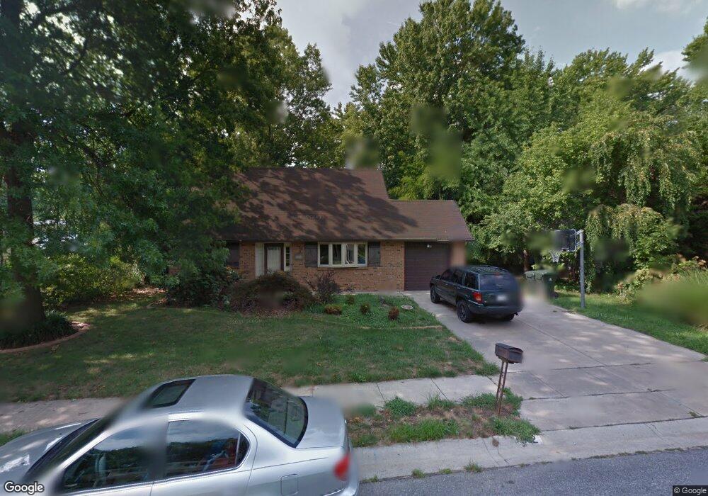
962 Devon Dr Newark, DE 19711
Estimated Value: $374,000 - $451,000
4
Beds
2
Baths
1,734
Sq Ft
$236/Sq Ft
Est. Value
About This Home
This home is located at 962 Devon Dr, Newark, DE 19711 and is currently estimated at $410,037, approximately $236 per square foot. 962 Devon Dr is a home located in New Castle County with nearby schools including West Park Place Elementary School, Shue-Medill Middle School, and Newark High School.
Ownership History
Date
Name
Owned For
Owner Type
Purchase Details
Closed on
May 31, 2006
Sold by
Brown Robert F and Brown Kristy P
Bought by
Kreston Alexander E and Kreston Jillian A
Current Estimated Value
Home Financials for this Owner
Home Financials are based on the most recent Mortgage that was taken out on this home.
Original Mortgage
$200,000
Outstanding Balance
$117,912
Interest Rate
6.62%
Mortgage Type
Purchase Money Mortgage
Estimated Equity
$292,125
Create a Home Valuation Report for This Property
The Home Valuation Report is an in-depth analysis detailing your home's value as well as a comparison with similar homes in the area
Home Values in the Area
Average Home Value in this Area
Purchase History
| Date | Buyer | Sale Price | Title Company |
|---|---|---|---|
| Kreston Alexander E | $290,000 | None Available |
Source: Public Records
Mortgage History
| Date | Status | Borrower | Loan Amount |
|---|---|---|---|
| Open | Kreston Alexander E | $200,000 |
Source: Public Records
Tax History
| Year | Tax Paid | Tax Assessment Tax Assessment Total Assessment is a certain percentage of the fair market value that is determined by local assessors to be the total taxable value of land and additions on the property. | Land | Improvement |
|---|---|---|---|---|
| 2024 | $771 | $73,100 | $16,500 | $56,600 |
| 2023 | $2,643 | $73,100 | $16,500 | $56,600 |
| 2022 | $2,615 | $73,100 | $16,500 | $56,600 |
| 2021 | $2,548 | $73,100 | $16,500 | $56,600 |
| 2020 | $2,475 | $73,100 | $16,500 | $56,600 |
| 2019 | $2,169 | $73,100 | $16,500 | $56,600 |
| 2018 | $2,119 | $73,100 | $16,500 | $56,600 |
| 2017 | $2,056 | $73,100 | $16,500 | $56,600 |
| 2016 | $2,050 | $73,100 | $16,500 | $56,600 |
| 2015 | $1,838 | $73,100 | $16,500 | $56,600 |
| 2014 | $1,837 | $73,100 | $16,500 | $56,600 |
Source: Public Records
Map
Nearby Homes
- 306 Willa Rd
- 126 Manns Ave
- 30 Julie Ln
- 57 W Park Place
- 153 King William St Unit 153
- 117 W Shetland Ct
- 313 Chickory Way
- 2 Michigan State Dr
- 48 Arizona State Dr
- 105 Tanglewood Ln
- 710 S College Ave
- 716 S College Ave
- 289 W Chestnut Hill Rd
- 803 Del Grove Ave
- 84 Welsh Tract Rd Unit 311
- 28 Buttercup Cir
- 76 Welsh Tract Rd Unit 308
- 317 Cannons Way
- 69 Mule Deer Ct
- 25 Glyn Dr
- 960 Devon Dr
- 965 Alexandria Dr
- 963 Alexandria Dr
- 961 Alexandria Dr
- 959 Alexandria Dr
- 958 Devon Dr
- 961 Devon Dr
- 959 Devon Dr
- 957 Alexandria Dr
- 963 Devon Dr
- 957 Devon Dr
- 956 Devon Dr
- 955 Alexandria Dr
- 970 Alexandria Dr
- 968 Alexandria Dr
- 972 Alexandria Dr
- 966 Alexandria Dr
- 955 Devon Dr
- 974 Alexandria Dr
- 954 Devon Dr
Your Personal Tour Guide
Ask me questions while you tour the home.