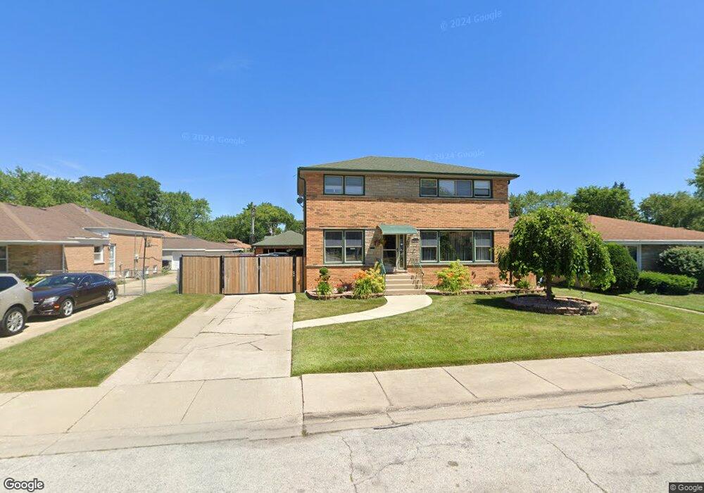
962 E 161st St South Holland, IL 60473
South River-Cook County NeighborhoodEstimated Value: $248,000 - $275,181
4
Beds
3
Baths
1,922
Sq Ft
$137/Sq Ft
Est. Value
About This Home
This home is located at 962 E 161st St, South Holland, IL 60473 and is currently estimated at $262,545, approximately $136 per square foot. 962 E 161st St is a home located in Cook County with nearby schools including Taft School, Eisenhower School, and Coolidge Middle School.
Ownership History
Date
Name
Owned For
Owner Type
Purchase Details
Closed on
Jan 19, 2024
Sold by
Mccoy Major N and Mccoy Karen A
Bought by
Chicago Title Land Trust Co
Current Estimated Value
Purchase Details
Closed on
Jan 10, 1995
Sold by
Serdar Milan A and Serdar Adeline A
Bought by
Mccoy Major M and Woods Mccoy Karen A
Home Financials for this Owner
Home Financials are based on the most recent Mortgage that was taken out on this home.
Original Mortgage
$123,650
Interest Rate
9.23%
Mortgage Type
FHA
Create a Home Valuation Report for This Property
The Home Valuation Report is an in-depth analysis detailing your home's value as well as a comparison with similar homes in the area
Home Values in the Area
Average Home Value in this Area
Purchase History
| Date | Buyer | Sale Price | Title Company |
|---|---|---|---|
| Chicago Title Land Trust Co | -- | Chicago Title | |
| Mccoy Major M | $125,000 | -- |
Source: Public Records
Mortgage History
| Date | Status | Borrower | Loan Amount |
|---|---|---|---|
| Previous Owner | Mccoy Major M | $123,650 |
Source: Public Records
Tax History Compared to Growth
Tax History
| Year | Tax Paid | Tax Assessment Tax Assessment Total Assessment is a certain percentage of the fair market value that is determined by local assessors to be the total taxable value of land and additions on the property. | Land | Improvement |
|---|---|---|---|---|
| 2024 | $11,056 | $27,000 | $4,069 | $22,931 |
| 2023 | $6,009 | $27,000 | $4,069 | $22,931 |
| 2022 | $6,009 | $13,445 | $3,488 | $9,957 |
| 2021 | $5,996 | $13,444 | $3,487 | $9,957 |
| 2020 | $5,775 | $13,444 | $3,487 | $9,957 |
| 2019 | $6,479 | $14,525 | $3,100 | $11,425 |
| 2018 | $6,325 | $14,525 | $3,100 | $11,425 |
| 2017 | $6,177 | $14,525 | $3,100 | $11,425 |
| 2016 | $5,505 | $12,648 | $2,906 | $9,742 |
| 2015 | $5,272 | $12,648 | $2,906 | $9,742 |
| 2014 | $5,186 | $12,648 | $2,906 | $9,742 |
| 2013 | $5,552 | $14,074 | $2,906 | $11,168 |
Source: Public Records
Map
Nearby Homes
- 15966 Debbie Ln
- 16015 Drexel Ave
- 16030 University Ave
- 1012 E 159th Place
- 16053 University Ave
- 1012 E 162nd Place
- 907 E 162nd Place
- 1144 E 160th Place
- 16007 Cottage Grove Ave
- 913 E 162nd Place
- 1006 E 163rd St
- 1047 Riverview Dr
- 16265 Drexel Ave
- 16037 Evans Ave
- 16006 Avalon Ave
- 944 E 163rd Place
- 838 E 163rd Place
- 16001 Avalon Ave
- 16327 Dobson Ave
- 16321 Maryland Ave
- 958 E 161st St
- 16066 Ellis Ave
- 16058 Ellis Ave
- 16065 Debbie Ln
- 16057 Debbie Ln
- 16049 Debbie Ln
- 16065 Ellis Ave
- 16110 Ellis Ave
- 16111 Ellis Ave
- 955 E 161st Place
- 955 E 161st Place
- 16042 Ellis Ave
- 1011 E 161st St
- 16057 Ellis Ave
- 16041 Debbie Ln
- 1024 E 161st St
- 16088 Marion Dr
- 16053 Ellis Ave
- 16075 Marion Dr
- 1017 E 161st St