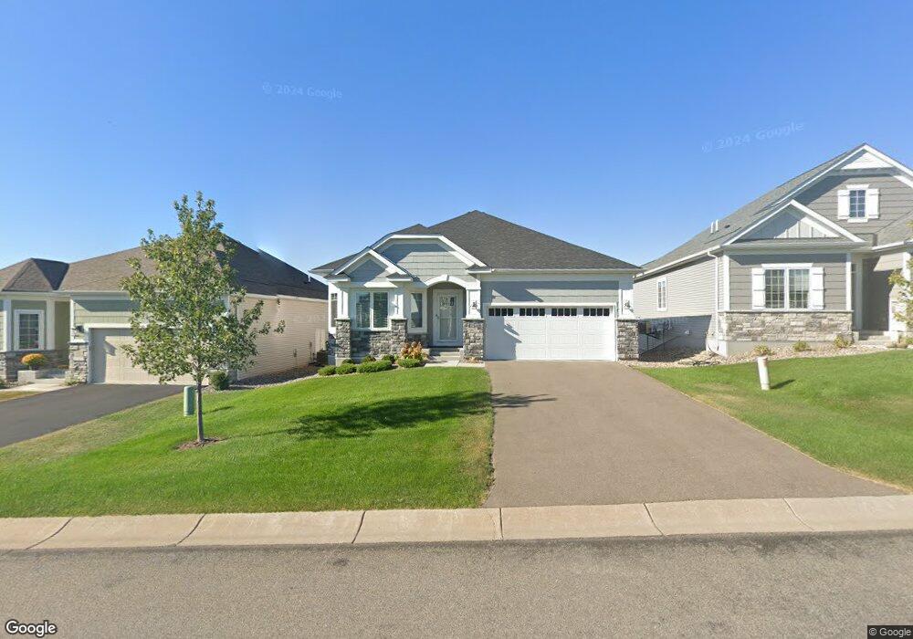
962 Maple Hill Rd Newport, MN 55055
Estimated Value: $523,000 - $567,000
3
Beds
3
Baths
1,757
Sq Ft
$315/Sq Ft
Est. Value
About This Home
This home is located at 962 Maple Hill Rd, Newport, MN 55055 and is currently estimated at $553,006, approximately $314 per square foot. 962 Maple Hill Rd is a home with nearby schools including Newport Elementary School, Oltman Middle School, and East Ridge High School.
Ownership History
Date
Name
Owned For
Owner Type
Purchase Details
Closed on
Jun 21, 2022
Sold by
M/I Homes Of Minneapolis/St Paul Llc
Bought by
Schommer Robert and Schommer Joleen
Current Estimated Value
Home Financials for this Owner
Home Financials are based on the most recent Mortgage that was taken out on this home.
Original Mortgage
$440,384
Outstanding Balance
$419,027
Interest Rate
5.27%
Mortgage Type
New Conventional
Estimated Equity
$133,979
Purchase Details
Closed on
Mar 3, 2022
Sold by
M/I Homes Of Minneapolis/St Paul Llc
Bought by
Christensen Jodi J and Christensen Michael J
Create a Home Valuation Report for This Property
The Home Valuation Report is an in-depth analysis detailing your home's value as well as a comparison with similar homes in the area
Home Values in the Area
Average Home Value in this Area
Purchase History
| Date | Buyer | Sale Price | Title Company |
|---|---|---|---|
| Schommer Robert | $550,480 | -- | |
| Christensen Jodi J | $522,869 | None Listed On Document |
Source: Public Records
Mortgage History
| Date | Status | Borrower | Loan Amount |
|---|---|---|---|
| Open | Schommer Robert | $440,384 |
Source: Public Records
Tax History Compared to Growth
Tax History
| Year | Tax Paid | Tax Assessment Tax Assessment Total Assessment is a certain percentage of the fair market value that is determined by local assessors to be the total taxable value of land and additions on the property. | Land | Improvement |
|---|---|---|---|---|
| 2024 | $7,666 | $525,700 | $130,000 | $395,700 |
| 2023 | $7,666 | $594,900 | $185,900 | $409,000 |
| 2022 | $3,420 | $309,300 | $218,900 | $90,400 |
| 2021 | $2,342 | $181,500 | $181,500 | $0 |
| 2020 | $916 | $165,000 | $165,000 | $0 |
| 2019 | $174 | $125,000 | $125,000 | $0 |
| 2018 | -- | $7,800 | $7,800 | $0 |
Source: Public Records
Map
Nearby Homes
- 966 Maple Hill Rd
- 1081 Oakwood Rd
- 1012 Catherine Dr
- 6640 Falstaff Rd
- 2250 Larry Ln
- 6287 Crackleberry Trail
- 7146 Newbury Place
- 7140 Newbury Place
- 3487 York Dr
- 6840 Thames Rd
- 3615 Mahle Ln
- 4181 Arbor Dr
- Belleville Plan at Arbor Ridge
- Richmond Plan at Arbor Ridge
- Woodland Plan at Arbor Ridge
- Remington Plan at Arbor Ridge
- Superior Sport Plan at Arbor Ridge
- Walton Plan at Arbor Ridge
- Wyatt Plan at Arbor Ridge
- Westley Sport Plan at Arbor Ridge
- 958 Maple Hill Rd
- 970 Maple Hill Rd
- 1026 Oakwood Rd
- 1006 Oakwood Rd
- 931 Spruce St
- 1024 Oakwood Rd
- 1014 Oakwood Rd
- 1030 Oakwood Rd
- 974 Maple Hill Rd
- 1000 Oakwood Rd
- 935 Spruce St
- 1036 Oakwood Rd
- 978 Maple Hill Rd
- 979 Maple Hill Rd
- 996 Oakwood Rd
- 939 Spruce St
- 1040 Oakwood Rd
- 982 Maple Hill Rd
- 1003 Oakwood Rd
- 999 Oakwood Rd