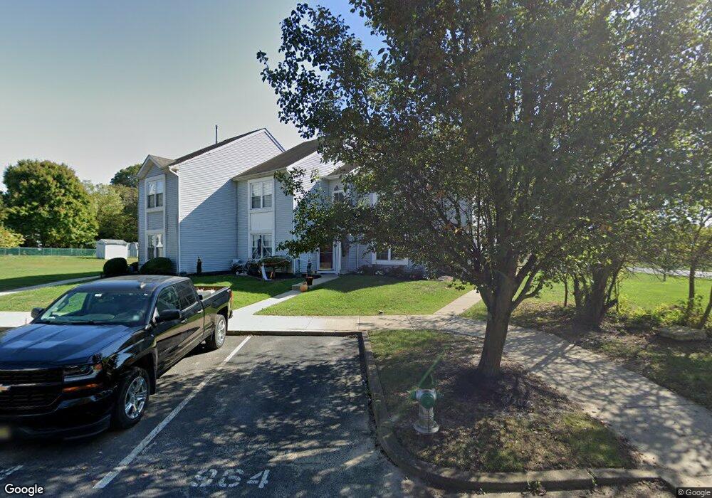
962 Poe Ct Williamstown, NJ 08094
Estimated Value: $293,944 - $347,000
3
Beds
2
Baths
1,708
Sq Ft
$181/Sq Ft
Est. Value
About This Home
This home is located at 962 Poe Ct, Williamstown, NJ 08094 and is currently estimated at $309,486, approximately $181 per square foot. 962 Poe Ct is a home located in Gloucester County with nearby schools including Williamstown High School, St. Mary School, and Finest of the Wheat Christian.
Ownership History
Date
Name
Owned For
Owner Type
Purchase Details
Closed on
Jul 22, 2011
Sold by
Schneck Brian D and Schneck Lindsay
Bought by
Imperatore Angela
Current Estimated Value
Home Financials for this Owner
Home Financials are based on the most recent Mortgage that was taken out on this home.
Original Mortgage
$153,367
Outstanding Balance
$105,512
Interest Rate
4.51%
Mortgage Type
New Conventional
Estimated Equity
$203,974
Purchase Details
Closed on
Jul 20, 2001
Sold by
46 Bbf Holding Corp
Bought by
Schneck Brian D and Carlino Lindsay
Create a Home Valuation Report for This Property
The Home Valuation Report is an in-depth analysis detailing your home's value as well as a comparison with similar homes in the area
Home Values in the Area
Average Home Value in this Area
Purchase History
| Date | Buyer | Sale Price | Title Company |
|---|---|---|---|
| Imperatore Angela | $148,000 | None Available | |
| Schneck Brian D | $85,900 | Fidelity National Title Ins |
Source: Public Records
Mortgage History
| Date | Status | Borrower | Loan Amount |
|---|---|---|---|
| Open | Imperatore Angela | $153,367 |
Source: Public Records
Tax History Compared to Growth
Tax History
| Year | Tax Paid | Tax Assessment Tax Assessment Total Assessment is a certain percentage of the fair market value that is determined by local assessors to be the total taxable value of land and additions on the property. | Land | Improvement |
|---|---|---|---|---|
| 2025 | $4,991 | $136,300 | $40,800 | $95,500 |
| 2024 | $4,955 | $136,300 | $40,800 | $95,500 |
| 2023 | $4,955 | $136,300 | $40,800 | $95,500 |
| 2022 | $4,931 | $136,300 | $40,800 | $95,500 |
| 2021 | $4,963 | $136,300 | $40,800 | $95,500 |
| 2020 | $4,957 | $136,300 | $40,800 | $95,500 |
| 2019 | $4,927 | $136,300 | $40,800 | $95,500 |
| 2018 | $4,847 | $136,300 | $40,800 | $95,500 |
| 2017 | $5,008 | $141,400 | $45,000 | $96,400 |
| 2016 | $4,945 | $141,400 | $45,000 | $96,400 |
| 2015 | $4,803 | $141,400 | $45,000 | $96,400 |
| 2014 | $4,663 | $141,400 | $45,000 | $96,400 |
Source: Public Records
Map
Nearby Homes
- 943 Sykesville Rd
- 1017 Micawber Dr
- 640 Ironwood Dr
- 304 Thackeray Ln
- 549 Maidstone Dr
- 1011 S Beecham Rd
- 921 N Beecham Rd
- 647 Chestnut St
- 643 Blue Bell Rd
- 30 Tool Ln
- 206 Raphael Ct
- 959 S Main St
- 112 Shisler Ave
- 415 Stockton Loop
- 308 Oak St
- 505 Matisse Way Unit 505
- 1406 Exposition Dr
- 221 Oak St
- 2406 Exposition Dr Unit 2406
- 520 S Main St