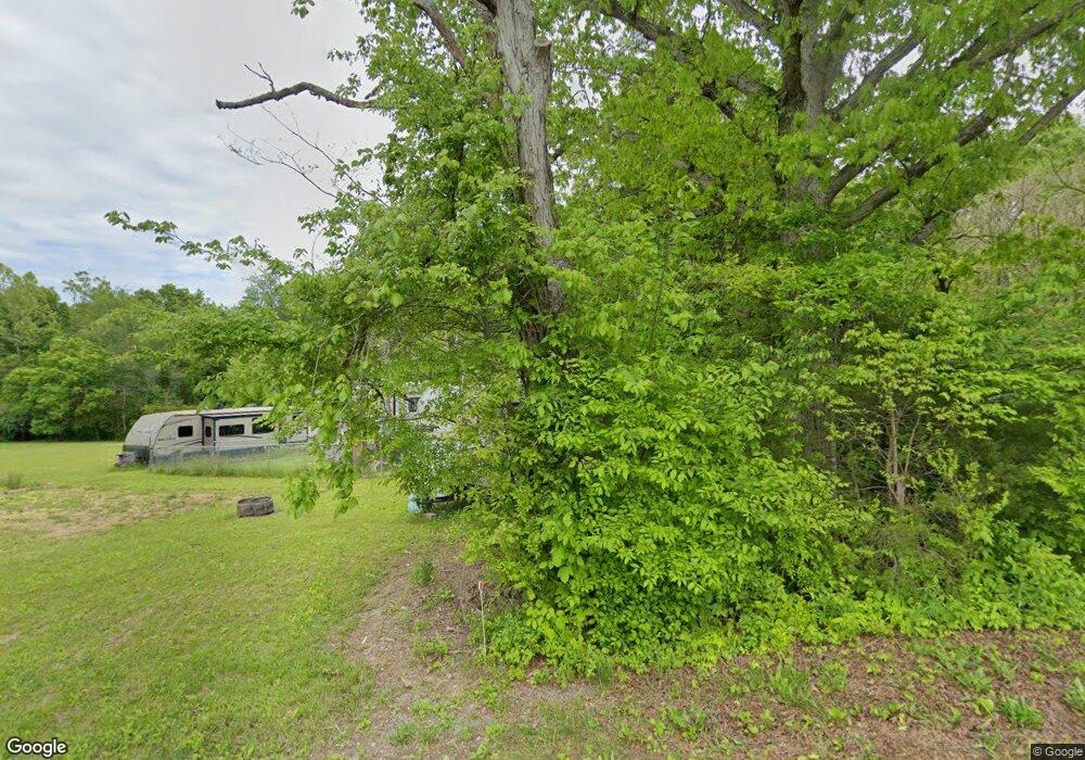
962 Potts Rd Dandridge, TN 37725
Estimated Value: $62,168 - $248,000
--
Bed
--
Bath
--
Sq Ft
1.75
Acres
About This Home
This home is located at 962 Potts Rd, Dandridge, TN 37725 and is currently estimated at $178,792. 962 Potts Rd is a home.
Ownership History
Date
Name
Owned For
Owner Type
Purchase Details
Closed on
Aug 23, 2019
Sold by
Henry James Franklin
Bought by
Canter Hunter J
Current Estimated Value
Home Financials for this Owner
Home Financials are based on the most recent Mortgage that was taken out on this home.
Original Mortgage
$15,000
Outstanding Balance
$10,408
Interest Rate
5.75%
Mortgage Type
Adjustable Rate Mortgage/ARM
Estimated Equity
$168,384
Purchase Details
Closed on
Dec 5, 1992
Bought by
Henry James Franklin
Purchase Details
Closed on
Mar 27, 1959
Bought by
Henry Mrs Martha Lee
Purchase Details
Closed on
Jan 25, 1932
Create a Home Valuation Report for This Property
The Home Valuation Report is an in-depth analysis detailing your home's value as well as a comparison with similar homes in the area
Home Values in the Area
Average Home Value in this Area
Purchase History
| Date | Buyer | Sale Price | Title Company |
|---|---|---|---|
| Canter Hunter J | $18,800 | None Available | |
| Henry James Franklin | $180,000 | -- | |
| Henry Mrs Martha Lee | -- | -- | |
| -- | -- | -- |
Source: Public Records
Mortgage History
| Date | Status | Borrower | Loan Amount |
|---|---|---|---|
| Open | Canter Hunter J | $15,000 |
Source: Public Records
Tax History Compared to Growth
Tax History
| Year | Tax Paid | Tax Assessment Tax Assessment Total Assessment is a certain percentage of the fair market value that is determined by local assessors to be the total taxable value of land and additions on the property. | Land | Improvement |
|---|---|---|---|---|
| 2025 | $147 | $8,200 | $6,375 | $1,825 |
| 2023 | $147 | $6,400 | $0 | $0 |
| 2022 | $140 | $6,400 | $5,075 | $1,325 |
| 2021 | $111 | $5,075 | $5,075 | $0 |
| 2020 | $111 | $5,075 | $5,075 | $0 |
| 2019 | $111 | $5,075 | $5,075 | $0 |
| 2018 | $122 | $5,175 | $5,175 | $0 |
| 2017 | $122 | $5,175 | $5,175 | $0 |
| 2016 | $122 | $5,175 | $5,175 | $0 |
| 2015 | $122 | $5,175 | $5,175 | $0 |
| 2014 | $122 | $5,175 | $5,175 | $0 |
Source: Public Records
Map
Nearby Homes
- Lots 3 & 4 Swannsylvania Rd
- 1440 Swannsylvania Rd
- Lot #1 Swannsylvania Rd
- 1009 Old Newport Hwy
- 2943 Flicker Ln
- lot 5 Deerwood Dr & Sunset Harbor Dr
- 306 Bungalow Dr
- 307 Bungalow Dr
- 0 Sunset Harbor Dr Unit 1308337
- Lot 70r Lakeside Ct
- Lot 87 Stone Vista Way
- Lot 69 Deerwood Dr
- Lot 5 Deerwood Dr
- Lot 20 Plantation Point Dr
- 169 Plantation Point Dr
- Lot 75 Stone Bridge Dr
- Lot 65 Stone Bridge Dr
- Lot 64 Stone Bridge Dr
- 968 Swannsylvania Rd
- 986 Swannsylvania Rd
- 935 Woody Ln
- 984 Swannsylvania Rd
- 931 Woody Ln
- 967 Swannsylvania Rd
- 15.45 acres Swannsylvania Rd
- Parcel 46.24 Swannsylvania Rd
- 0 Swannsylvania Rd
- 0 Swannsylvania Rd Unit 204281
- 990 Swannsylvania Rd
- Lot 1, Swannysylvania
- Lot 1 Lot 1 Swannysylvania
- 971 Swannsylvania Rd
- 1050 Potts Rd
- 921 Swannsylvania Rd
- 1004 Potts Rd
- 933 Woody Ln
- 961 Swannsylvania Rd
- 918 Woody Ln
