9620 Bridge Burn Trail Clinton, MT 59825
Clinton NeighborhoodEstimated Value: $949,000 - $1,096,383
6
Beds
3
Baths
1,598
Sq Ft
$640/Sq Ft
Est. Value
About This Home
This home is located at 9620 Bridge Burn Trail, Clinton, MT 59825 and is currently estimated at $1,022,692, approximately $639 per square foot. 9620 Bridge Burn Trail is a home located in Missoula County with nearby schools including Clinton Elementary School and Sentinel High School.
Ownership History
Date
Name
Owned For
Owner Type
Purchase Details
Closed on
May 8, 2015
Sold by
Coburn Daniel L and Coburn Marcene P
Bought by
Daniel L & Marcene P Coburn Revocable Li and Coburn Daniel L
Current Estimated Value
Purchase Details
Closed on
Mar 13, 2007
Sold by
Burns Eric S and Burns Susan A
Bought by
Coburn Daniel L and Coburn Marcene P
Home Financials for this Owner
Home Financials are based on the most recent Mortgage that was taken out on this home.
Original Mortgage
$300,000
Outstanding Balance
$181,884
Interest Rate
6.29%
Mortgage Type
Unknown
Estimated Equity
$840,808
Purchase Details
Closed on
Aug 21, 2002
Sold by
Bridges Richard J
Bought by
Bridges Richard J and Bridges Carol
Home Financials for this Owner
Home Financials are based on the most recent Mortgage that was taken out on this home.
Original Mortgage
$170,400
Interest Rate
6.52%
Create a Home Valuation Report for This Property
The Home Valuation Report is an in-depth analysis detailing your home's value as well as a comparison with similar homes in the area
Home Values in the Area
Average Home Value in this Area
Purchase History
| Date | Buyer | Sale Price | Title Company |
|---|---|---|---|
| Daniel L & Marcene P Coburn Revocable Li | -- | None Available | |
| Coburn Daniel L | -- | First American Title Company | |
| Bridges Richard J | -- | -- |
Source: Public Records
Mortgage History
| Date | Status | Borrower | Loan Amount |
|---|---|---|---|
| Open | Coburn Daniel L | $300,000 | |
| Previous Owner | Bridges Richard J | $170,400 |
Source: Public Records
Tax History Compared to Growth
Tax History
| Year | Tax Paid | Tax Assessment Tax Assessment Total Assessment is a certain percentage of the fair market value that is determined by local assessors to be the total taxable value of land and additions on the property. | Land | Improvement |
|---|---|---|---|---|
| 2025 | $7,360 | $1,107,500 | $168,865 | $938,635 |
| 2024 | $8,437 | $871,100 | $105,940 | $765,160 |
| 2023 | $7,183 | $871,100 | $105,940 | $765,160 |
| 2022 | $6,531 | $657,000 | $0 | $0 |
| 2021 | $6,422 | $657,000 | $0 | $0 |
| 2020 | $6,508 | $648,400 | $0 | $0 |
| 2019 | $6,473 | $648,400 | $0 | $0 |
| 2018 | $6,120 | $642,900 | $0 | $0 |
| 2017 | $5,671 | $642,900 | $0 | $0 |
| 2016 | $5,619 | $615,300 | $0 | $0 |
| 2015 | $5,239 | $769,584 | $0 | $0 |
| 2014 | $4,640 | $305,386 | $0 | $0 |
Source: Public Records
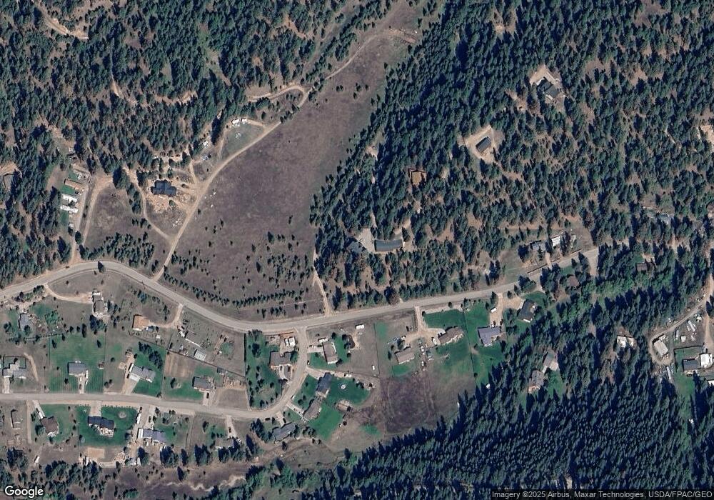
Map
Nearby Homes
- 22255 Wallace Creek Rd
- 20622 Us Highway 10 E
- 11055 Silver St
- Nhn Us Highway 10 E
- Lot 13 Pamin Loop
- 25575 Patter Spur Rd S
- NKA Dirty Ike Creek Rd
- Lot 15 Muddler Ct
- Lot 17 Caddisfly Ct
- Lot 16 Stonefly Rd
- Lot 9 Stonefly Rd
- Lot 11 Stonefly Rd
- Lot 12 Stonefly Rd
- 24570 Stonefly Rd
- Lot 2 Caddisfly Ct
- 14297 Caddisfly Ct
- 48 Rock Creek Rd
- Nhn Bonita Ranger Station Rd
- 27235 Lazy Springs Rd
- 5830 Memory Ln
- 21850 Wallace Creek Rd
- 21850 Bridge Burn Trail
- NA See Listing Agent
- 9575 Bridge Burn Trail
- 21147 Handley Loop
- 21909 Wallace Creek Rd
- 21931 Wallace Creek Rd
- 21133 Handley Loop
- 21132 Handley Loop
- 21973 Wallace Creek Rd
- 21643 Wallace Creek Rd
- 21119 Handley Loop
- 21997 Wallace Creek Rd
- 21084 Handley Loop
- 22050 Wallace Creek Rd
- 21105 Handley Loop
- 21710 & 21720 Wallace Creek Rd
- 9748 Wallace Ln
- 21621 Wallace Creek Rd
- 21091 Handley Loop