Estimated Value: $242,000 - $311,000
3
Beds
2
Baths
1,276
Sq Ft
$214/Sq Ft
Est. Value
About This Home
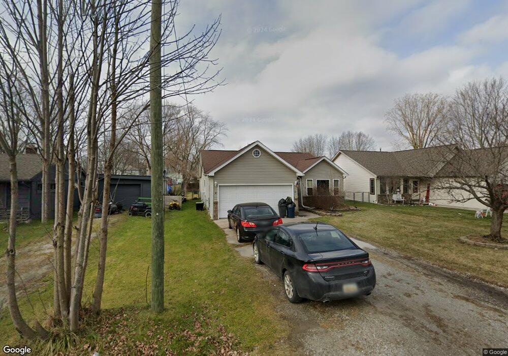
This home is located at 9620 Maynard Rd, Clay, MI 48001 and is currently estimated at $272,824, approximately $213 per square foot. 9620 Maynard Rd is a home located in St. Clair County.
Ownership History
Date
Name
Owned For
Owner Type
Purchase Details
Closed on
Feb 6, 2023
Sold by
Mcbride Gerald
Bought by
Mcbride Allison
Current Estimated Value
Create a Home Valuation Report for This Property
The Home Valuation Report is an in-depth analysis detailing your home's value as well as a comparison with similar homes in the area
Home Values in the Area
Average Home Value in this Area
Purchase History
| Date | Buyer | Sale Price | Title Company |
|---|---|---|---|
| Mcbride Allison | -- | -- |
Source: Public Records
Tax History
| Year | Tax Paid | Tax Assessment Tax Assessment Total Assessment is a certain percentage of the fair market value that is determined by local assessors to be the total taxable value of land and additions on the property. | Land | Improvement |
|---|---|---|---|---|
| 2025 | $1,097 | $116,700 | $0 | $0 |
| 2024 | $1,076 | $113,400 | $0 | $0 |
| 2023 | $1,037 | $100,500 | $0 | $0 |
| 2022 | $1,874 | $92,700 | $0 | $0 |
| 2020 | $1,730 | $81,500 | $81,500 | $0 |
| 2019 | $1,705 | $75,400 | $0 | $0 |
| 2018 | $1,678 | $59,700 | $0 | $0 |
| 2017 | $1,542 | $49,100 | $0 | $0 |
| 2016 | $851 | $49,100 | $0 | $0 |
| 2015 | -- | $47,400 | $47,400 | $0 |
| 2014 | -- | $43,900 | $43,900 | $0 |
| 2013 | -- | $43,200 | $0 | $0 |
Source: Public Records
Map
Nearby Homes
- 9996 Tashmoo Ln Unit 2
- 9994 Tashmoo Ln Unit 3
- 9636 Anchor Dr Unit 99
- 9658 Seaway Dr Unit 91
- 9634 Seaway Dr Unit 38
- 9761 Marina Cir Unit 292
- 5966 Starboard Ct Unit 284
- 0000 Taft Rd
- 00 Taft Rd
- 7520 Colony Dr
- 7208 Bluebill St
- 24 Vacant Lots Land
- 9665 River St
- 7261 Bluebill St
- 9084 Island Dr
- 2039 Golf Course Rd
- 7277 Cardinal St
- 9279 Oakdale St
- 9309 Oakdale
- 7292 Bluebill Rd
- 9634 Maynard Rd
- 9618 Maynard Rd
- 9616 Maynard Rd
- 9615 Pearl Beach Blvd
- 9635 Pearl Beach Blvd
- 5900 Pointe Tremble Rd
- 5900 Pointe Tremble Rd
- 9615 Maynard Rd
- 9636 Maynard Rd
- 0 Maynard Ct Unit 215044642
- 0 Maynard Ct Unit 216112329
- 0 Maynard Ct Unit 217098379
- 0 Maynard Ct Unit 215130964
- 0 Maynard Ct Unit 4382457
- 0 Maynard Ct Unit 4374499
- 0 Maynard Ct Unit 4523848
- 0 Maynard Ct Unit 862556
- 0 Maynard Ct Unit 4708946
- 0 Maynard Ct Unit 910426
- 0 Maynard Ct Unit 5544010
Your Personal Tour Guide
Ask me questions while you tour the home.