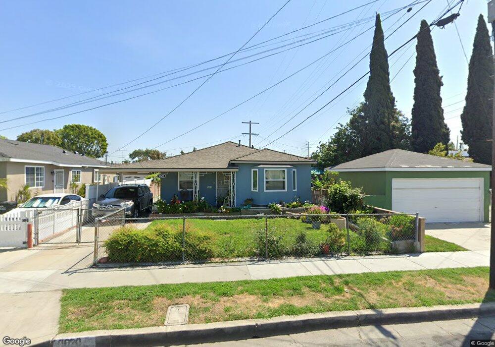
9620 Stanford Ave South Gate, CA 90280
Estimated Value: $656,068 - $707,000
2
Beds
2
Baths
1,516
Sq Ft
$450/Sq Ft
Est. Value
About This Home
This home is located at 9620 Stanford Ave, South Gate, CA 90280 and is currently estimated at $681,767, approximately $449 per square foot. 9620 Stanford Ave is a home located in Los Angeles County with nearby schools including Stanford Avenue Elementary School, Southeast Middle School, and South Gate Middle School.
Ownership History
Date
Name
Owned For
Owner Type
Purchase Details
Closed on
Aug 9, 2022
Sold by
Daisy Gonzalez
Bought by
Daisy Gonzalez Living Trust
Current Estimated Value
Purchase Details
Closed on
May 29, 2007
Sold by
Gonzalez Luis A and Gonzalez Deisy
Bought by
Gonzalez Luis A
Home Financials for this Owner
Home Financials are based on the most recent Mortgage that was taken out on this home.
Original Mortgage
$130,000
Interest Rate
6.73%
Mortgage Type
New Conventional
Create a Home Valuation Report for This Property
The Home Valuation Report is an in-depth analysis detailing your home's value as well as a comparison with similar homes in the area
Home Values in the Area
Average Home Value in this Area
Purchase History
| Date | Buyer | Sale Price | Title Company |
|---|---|---|---|
| Daisy Gonzalez Living Trust | -- | None Listed On Document | |
| Gonzalez Daisy | -- | None Listed On Document | |
| Gonzalez Luis A | -- | None Available |
Source: Public Records
Mortgage History
| Date | Status | Borrower | Loan Amount |
|---|---|---|---|
| Previous Owner | Gonzalez Luis A | $130,000 |
Source: Public Records
Tax History
| Year | Tax Paid | Tax Assessment Tax Assessment Total Assessment is a certain percentage of the fair market value that is determined by local assessors to be the total taxable value of land and additions on the property. | Land | Improvement |
|---|---|---|---|---|
| 2025 | $3,065 | $215,870 | $122,487 | $93,383 |
| 2024 | $3,065 | $211,638 | $120,086 | $91,552 |
| 2023 | $3,014 | $207,489 | $117,732 | $89,757 |
| 2022 | $2,880 | $203,422 | $115,424 | $87,998 |
| 2021 | $2,839 | $199,434 | $113,161 | $86,273 |
| 2019 | $2,752 | $193,520 | $109,805 | $83,715 |
| 2018 | $2,638 | $189,726 | $107,652 | $82,074 |
| 2016 | $2,507 | $182,361 | $103,473 | $78,888 |
| 2015 | $2,467 | $179,623 | $101,919 | $77,704 |
| 2014 | $2,468 | $176,105 | $99,923 | $76,182 |
Source: Public Records
Map
Nearby Homes
- 9612 Long Beach Blvd
- 9616 Long Beach Blvd
- 2703 Missouri Ave
- 9411 Madison Ave
- 2548 Missouri Ave
- 2520 Ohio Ave
- 10011 State St
- 8954 S Gate Ave
- 3007 Sequoia Dr
- 10000 State St
- 9421 Dearborn Ave
- 2500 Illinois Ave
- 8995 Victoria Ave
- 9621 Laurel St
- 3284 Cherokee Ave
- 2844 Ardmore Ave
- 3062 Ardmore Ave
- 3310 Cherokee Ave
- 8600 S Gate Ave
- 8469 Cypress Ave
- 9614 Stanford Ave
- 2911 Missouri Ave
- 2910 Kansas Ave
- 2918 Kansas Ave
- 2905 Missouri Ave
- 2915 Missouri Ave
- 2919 Missouri Ave
- 2920 Kansas Ave
- 2848 Kansas Ave
- 2923 Missouri Ave
- 2849 Missouri Ave
- 2926 Kansas Ave
- 2842 Kansas Ave
- 2927 Missouri Ave
- 2845 Missouri Ave
- 2930 Kansas Ave
- 2840 Kansas Ave
- 2931 Missouri Ave
- 2841 Missouri Ave
- 2915 Kansas Ave
Your Personal Tour Guide
Ask me questions while you tour the home.