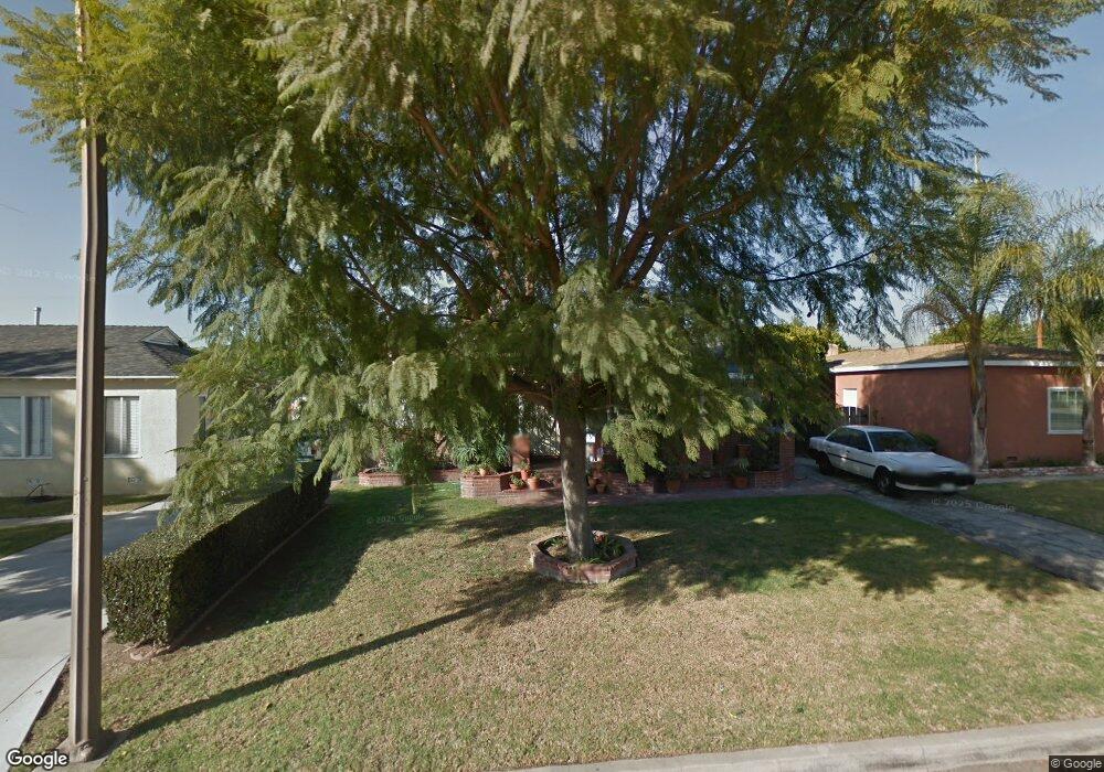
9625 Rufus Ave Whittier, CA 90604
South Whittier NeighborhoodEstimated Value: $811,420 - $871,000
4
Beds
2
Baths
1,549
Sq Ft
$544/Sq Ft
Est. Value
About This Home
This home is located at 9625 Rufus Ave, Whittier, CA 90604 and is currently estimated at $842,605, approximately $543 per square foot. 9625 Rufus Ave is a home located in Los Angeles County with nearby schools including Mulberry Elementary School, Hillview Middle School, and California High School.
Ownership History
Date
Name
Owned For
Owner Type
Purchase Details
Closed on
Oct 18, 1996
Sold by
Foster Debra Sue
Bought by
Foster James D
Current Estimated Value
Home Financials for this Owner
Home Financials are based on the most recent Mortgage that was taken out on this home.
Original Mortgage
$148,773
Interest Rate
7.88%
Mortgage Type
FHA
Purchase Details
Closed on
Oct 7, 1996
Sold by
Foster James D
Bought by
Andrade Jose A and Andrade Erendira J
Home Financials for this Owner
Home Financials are based on the most recent Mortgage that was taken out on this home.
Original Mortgage
$148,773
Interest Rate
7.88%
Mortgage Type
FHA
Create a Home Valuation Report for This Property
The Home Valuation Report is an in-depth analysis detailing your home's value as well as a comparison with similar homes in the area
Home Values in the Area
Average Home Value in this Area
Purchase History
| Date | Buyer | Sale Price | Title Company |
|---|---|---|---|
| Foster James D | -- | -- | |
| Andrade Jose A | $152,000 | -- |
Source: Public Records
Mortgage History
| Date | Status | Borrower | Loan Amount |
|---|---|---|---|
| Previous Owner | Andrade Jose A | $148,773 |
Source: Public Records
Tax History Compared to Growth
Tax History
| Year | Tax Paid | Tax Assessment Tax Assessment Total Assessment is a certain percentage of the fair market value that is determined by local assessors to be the total taxable value of land and additions on the property. | Land | Improvement |
|---|---|---|---|---|
| 2025 | $3,823 | $301,867 | $138,748 | $163,119 |
| 2024 | $3,823 | $295,949 | $136,028 | $159,921 |
| 2023 | $3,758 | $290,147 | $133,361 | $156,786 |
| 2022 | $3,676 | $284,459 | $130,747 | $153,712 |
| 2021 | $3,600 | $278,883 | $128,184 | $150,699 |
| 2019 | $3,527 | $270,613 | $124,383 | $146,230 |
| 2018 | $3,387 | $265,308 | $121,945 | $143,363 |
| 2016 | $3,199 | $255,007 | $117,210 | $137,797 |
| 2015 | $3,176 | $251,178 | $115,450 | $135,728 |
| 2014 | $3,136 | $246,259 | $113,189 | $133,070 |
Source: Public Records
Map
Nearby Homes
- 14033 Oval Dr
- 14042 Hawes St
- 10035 Ben Hur Ave
- 10241 Ruoff Ave
- 13856 Mulberry Dr
- 14146 Light St
- 14518 Rimgate Dr
- 14064 Carnell St
- 14037 Mystic St
- 14539 Cullen St
- 13762 Danbrook Dr
- 14520 Mulberry Dr
- 14239 Cullen St
- 10415 Valley View Ave
- 14013 Chestnut St
- 8919 Boyar Ave
- 9551 Barkerville Ave
- 9234 Mills Ave
- 14816 Lanning Dr
- 10347 Corley Dr
- 9619 Rufus Ave
- 9631 Rufus Ave
- 9613 Rufus Ave
- 9612 Ahmann Ave
- 9637 Rufus Ave
- 9608 Ahmann Ave
- 9618 Ahmann Ave
- 9602 Ahmann Ave
- 9624 Ahmann Ave
- 9609 Rufus Ave
- 9624 Rufus Ave
- 9620 Rufus Ave
- 9641 Rufus Ave
- 9630 Rufus Ave
- 9614 Rufus Ave
- 9542 Ahmann Ave
- 9630 Ahmann Ave
- 9638 Rufus Ave
- 9603 Rufus Ave
- 9608 Rufus Ave