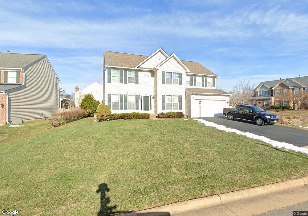
9626 Magenta St Manassas, VA 20110
Estimated Value: $719,583 - $797,000
4
Beds
4
Baths
2,835
Sq Ft
$265/Sq Ft
Est. Value
About This Home
This home is located at 9626 Magenta St, Manassas, VA 20110 and is currently estimated at $751,896, approximately $265 per square foot. 9626 Magenta St is a home located in Prince William County with nearby schools including Bennett Elementary School, Parkside Middle School, and Brentsville District High School.
Ownership History
Date
Name
Owned For
Owner Type
Purchase Details
Closed on
Jul 25, 2000
Sold by
Richmond American Homes
Bought by
Brolon Mitchell E
Current Estimated Value
Home Financials for this Owner
Home Financials are based on the most recent Mortgage that was taken out on this home.
Original Mortgage
$214,200
Outstanding Balance
$77,447
Interest Rate
8.18%
Estimated Equity
$674,449
Create a Home Valuation Report for This Property
The Home Valuation Report is an in-depth analysis detailing your home's value as well as a comparison with similar homes in the area
Home Values in the Area
Average Home Value in this Area
Purchase History
| Date | Buyer | Sale Price | Title Company |
|---|---|---|---|
| Brolon Mitchell E | $267,790 | -- |
Source: Public Records
Mortgage History
| Date | Status | Borrower | Loan Amount |
|---|---|---|---|
| Open | Brolon Mitchell E | $214,200 |
Source: Public Records
Tax History Compared to Growth
Tax History
| Year | Tax Paid | Tax Assessment Tax Assessment Total Assessment is a certain percentage of the fair market value that is determined by local assessors to be the total taxable value of land and additions on the property. | Land | Improvement |
|---|---|---|---|---|
| 2025 | $6,218 | $657,700 | $184,300 | $473,400 |
| 2024 | $6,218 | $625,200 | $175,800 | $449,400 |
| 2023 | $6,292 | $604,700 | $171,300 | $433,400 |
| 2022 | $6,208 | $550,200 | $155,500 | $394,700 |
| 2021 | $5,847 | $479,100 | $136,300 | $342,800 |
| 2020 | $7,006 | $452,000 | $130,900 | $321,100 |
| 2019 | $6,891 | $444,600 | $128,800 | $315,800 |
| 2018 | $5,214 | $431,800 | $127,900 | $303,900 |
| 2017 | $5,338 | $442,400 | $127,900 | $314,500 |
| 2016 | $5,391 | $442,000 | $127,800 | $314,200 |
| 2015 | $5,166 | $441,400 | $127,300 | $314,100 |
| 2014 | $5,166 | $414,200 | $118,000 | $296,200 |
Source: Public Records
Map
Nearby Homes
- 9521 Country Roads Ln
- 10123 Erin Ct
- 9444 Corey Dr
- 9541 Justin Ln
- 9725 Cheshire Ridge Cir
- 9432 Deschamp Ct
- 9310 Saffron Hill Ct
- 10413 Labrador Loop
- 10102 Queens Way
- 10106 Queens Way
- 10114 Queens Way
- 10170 Queens Way
- 10118 Queens Way
- 10166 Queens Way
- BALMORAL Plan at Kings Landing
- HIGHGROVE Plan at Kings Landing
- 10130 Queens Way
- 10305 Butternut Cir
- 9521 Vinnia Ct
- 9317 Waterford Dr
- 9630 Magenta St
- 10391 Aragon Ct
- 10386 Aragon Ct
- 9636 Magenta St
- 9625 Magenta St
- 10401 Monterosa Place
- 10383 Aragon Ct
- 10382 Aragon Ct
- 9621 Magenta St
- 9604 Magenta St
- 10370 Navarone Place
- 10400 Monterosa Place
- 10378 Aragon Ct
- 10375 Aragon Ct
- 9692 Anjou Ct
- 9700 Anjou Ct
- 9696 Anjou Ct
- 9600 Magenta St
- 10404 Monterosa Place
- 10374 Navarone Place