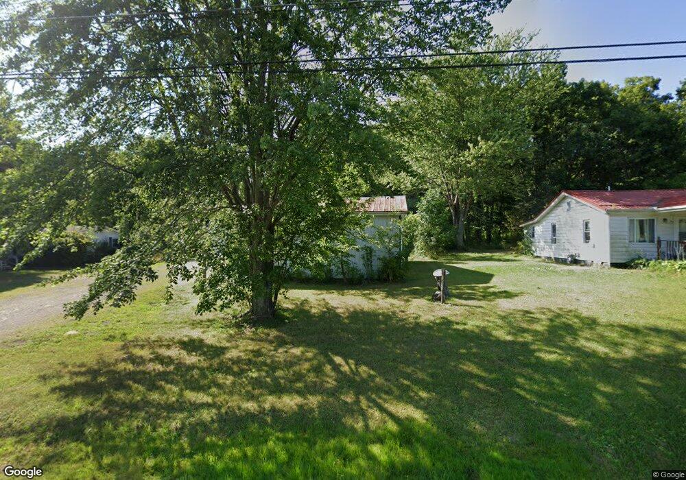
9626 State Route 41 West Union, OH 45693
Estimated Value: $148,050 - $511,000
4
Beds
2
Baths
1,344
Sq Ft
$181/Sq Ft
Est. Value
About This Home
This home is located at 9626 State Route 41, West Union, OH 45693 and is currently estimated at $242,763, approximately $180 per square foot. 9626 State Route 41 is a home located in Adams County with nearby schools including West Union Elementary School, West Union High School, and Adams County Christian School.
Ownership History
Date
Name
Owned For
Owner Type
Purchase Details
Closed on
Dec 30, 2020
Sold by
Mcneilan Hazel and Mcneilan Hazel L
Bought by
Mercado Mario Arturo
Current Estimated Value
Purchase Details
Closed on
Jan 1, 1990
Bought by
Martin Raymond
Create a Home Valuation Report for This Property
The Home Valuation Report is an in-depth analysis detailing your home's value as well as a comparison with similar homes in the area
Home Values in the Area
Average Home Value in this Area
Purchase History
| Date | Buyer | Sale Price | Title Company |
|---|---|---|---|
| Mercado Mario Arturo | $72,000 | Technetitle | |
| Martin Raymond | -- | -- |
Source: Public Records
Tax History Compared to Growth
Tax History
| Year | Tax Paid | Tax Assessment Tax Assessment Total Assessment is a certain percentage of the fair market value that is determined by local assessors to be the total taxable value of land and additions on the property. | Land | Improvement |
|---|---|---|---|---|
| 2024 | $1,587 | $29,820 | $6,860 | $22,960 |
| 2023 | $515 | $29,820 | $6,860 | $22,960 |
| 2022 | $1,023 | $24,120 | $5,780 | $18,340 |
| 2021 | $898 | $24,120 | $5,780 | $18,340 |
| 2020 | $918 | $33,330 | $5,780 | $27,550 |
| 2019 | $1,269 | $33,330 | $5,780 | $27,550 |
| 2018 | $1,074 | $28,740 | $5,780 | $22,960 |
| 2017 | $1,056 | $28,740 | $5,780 | $22,960 |
| 2016 | $1,054 | $28,740 | $5,780 | $22,960 |
| 2015 | $1,093 | $30,840 | $6,760 | $24,080 |
| 2014 | $1,094 | $30,840 | $6,760 | $24,080 |
Source: Public Records
Map
Nearby Homes
- 9598 State Route 41
- 40 Greenwood Ave
- 81 Evergreen St
- 1070 Eagle Creek Rd
- 223 Polk St
- 271 Crawford Rd
- 333 Crawford Rd
- 0 Cic Blvd
- 4423 Pumpkin Ridge Rd
- 144 ac Pumpkin Ridge Rd
- 0 State Route 41 1 Acre Lot
- 714 Panhandle Ave
- 286 & 290 S Market St
- 408 W South St
- 101 S Mound St
- 1300 Bentonville Rd
- 305 W Walnut St
- 216 S Market St
- 4700 Ohio 247
- 302 W Main St
- 9693 State Route 41
- 9595 State Route 41
- 9660 State Route 41
- 9700 State Route 41
- 9514 State Route 41
- 9693 S St Rt 41
- 9728 State Route 41
- 9786 State Route 41
- 9777 State Route 41
- 9430 State Route 41
- 9786 State Route 41
- 410 Roy Pence Rd
- 9889 State Route 41
- 9889 State Route 41
- 9310 State Route 41
- 9898 State Route 41
- 124 Roy Pence Rd
- 229 Roy Pence Rd
- 417 Roy Pence Rd
- 9909 State Route 41