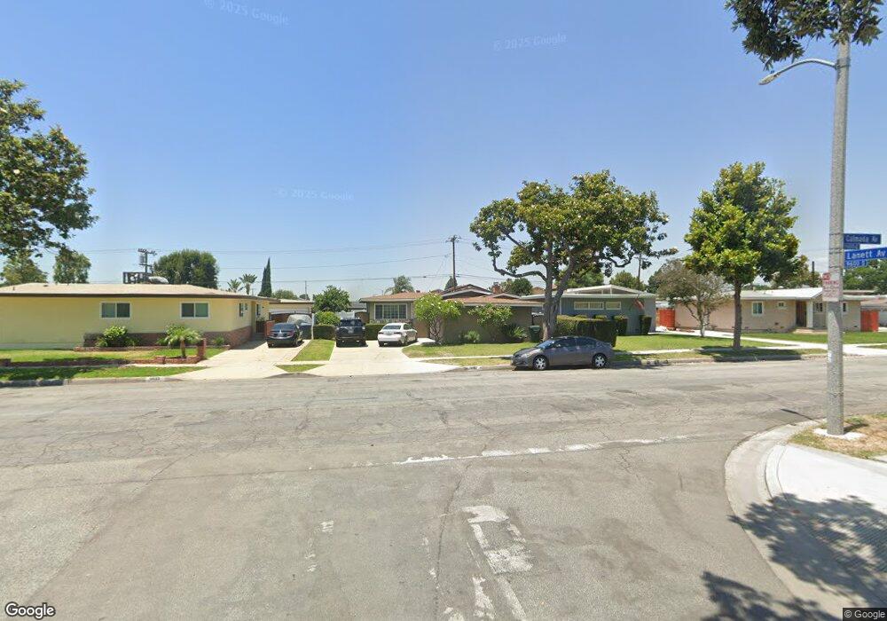
9627 Calmada Ave Whittier, CA 90605
South Whittier NeighborhoodEstimated Value: $762,100 - $796,000
3
Beds
2
Baths
1,269
Sq Ft
$614/Sq Ft
Est. Value
About This Home
This home is located at 9627 Calmada Ave, Whittier, CA 90605 and is currently estimated at $778,775, approximately $613 per square foot. 9627 Calmada Ave is a home located in Los Angeles County with nearby schools including Laurel Elementary School, Hillview Middle School, and Pioneer High School.
Ownership History
Date
Name
Owned For
Owner Type
Purchase Details
Closed on
Apr 2, 2001
Sold by
Kreng David V and Kreng Sangwany A
Bought by
Luna Lionel and Luna Laddha
Current Estimated Value
Home Financials for this Owner
Home Financials are based on the most recent Mortgage that was taken out on this home.
Original Mortgage
$42,500
Interest Rate
7.09%
Mortgage Type
Stand Alone Second
Create a Home Valuation Report for This Property
The Home Valuation Report is an in-depth analysis detailing your home's value as well as a comparison with similar homes in the area
Home Values in the Area
Average Home Value in this Area
Purchase History
| Date | Buyer | Sale Price | Title Company |
|---|---|---|---|
| Luna Lionel | -- | First American Title Co |
Source: Public Records
Mortgage History
| Date | Status | Borrower | Loan Amount |
|---|---|---|---|
| Previous Owner | Luna Lionel | $42,500 |
Source: Public Records
Tax History
| Year | Tax Paid | Tax Assessment Tax Assessment Total Assessment is a certain percentage of the fair market value that is determined by local assessors to be the total taxable value of land and additions on the property. | Land | Improvement |
|---|---|---|---|---|
| 2025 | $3,645 | $288,051 | $198,863 | $89,188 |
| 2024 | $3,645 | $282,404 | $194,964 | $87,440 |
| 2023 | $3,583 | $276,868 | $191,142 | $85,726 |
| 2022 | $3,505 | $271,441 | $187,395 | $84,046 |
| 2021 | $3,433 | $266,120 | $183,721 | $82,399 |
| 2019 | $3,363 | $258,229 | $178,273 | $79,956 |
| 2018 | $3,237 | $253,167 | $174,778 | $78,389 |
| 2016 | $3,059 | $243,338 | $167,992 | $75,346 |
| 2015 | $3,038 | $239,684 | $165,469 | $74,215 |
| 2014 | $2,999 | $234,990 | $162,228 | $72,762 |
Source: Public Records
Map
Nearby Homes
- 13856 Mulberry Dr
- 9551 Barkerville Ave
- 9308 Tarryton Ave
- 9344 Firebird Ave
- 13814 Mystic St
- 9834 Ahmann Ave
- 9563 Greening Ave
- 13649 Lanning Dr
- 10202 Mina Ave
- 13840 Danbrook Dr
- 10035 Ben Hur Ave
- 13561 Close St
- 10044 Ben Hur Ave
- 14016 Light St
- 14021 Fernview St
- 13924 Anola St
- 13414 Reis St
- 13448 Dunton Dr
- 13838 Cornishcrest Rd
- 13751 Bentongrove Dr
- 9621 Calmada Ave
- 9633 Calmada Ave
- 9615 Calmada Ave
- 9637 Calmada Ave
- 9426 Barkerville Ave
- 9432 Barkerville Ave
- 9628 Lanett Ave
- 9438 Barkerville Ave
- 9643 Calmada Ave
- 13675 Dicky St
- 9634 Calmada Ave
- 13774 Mulberry Dr
- 13766 Mulberry Dr
- 9444 Barkerville Ave
- 9634 Lanett Ave
- 9640 Calmada Ave
- 9606 Calmada Ave
- 13756 Mulberry Dr
- 13760 Mulberry Dr
- 9649 Calmada Ave
Your Personal Tour Guide
Ask me questions while you tour the home.