Estimated Value: $168,000 - $184,000
3
Beds
2
Baths
1,256
Sq Ft
$142/Sq Ft
Est. Value
About This Home
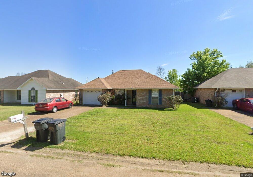
This home is located at 963 Bullrun Dr, Byram, MS 39272 and is currently estimated at $178,522, approximately $142 per square foot. 963 Bullrun Dr is a home located in Hinds County with nearby schools including Gary Road Elementary School, Gary Road Intermediate School, and Byram Middle School.
Ownership History
Date
Name
Owned For
Owner Type
Purchase Details
Closed on
Apr 9, 2019
Sold by
Brown Jackie
Bought by
Brown Kerwyn L
Current Estimated Value
Purchase Details
Closed on
Oct 14, 2016
Sold by
Brown Jackie and Brown Otis
Bought by
Brown Kerwyn L and Brown Jacjie B
Purchase Details
Closed on
Aug 9, 2010
Sold by
The Bank Of New York Mellon Fka The Bank
Bought by
Brown Otis
Home Financials for this Owner
Home Financials are based on the most recent Mortgage that was taken out on this home.
Original Mortgage
$87,077
Interest Rate
4.37%
Mortgage Type
FHA
Create a Home Valuation Report for This Property
The Home Valuation Report is an in-depth analysis detailing your home's value as well as a comparison with similar homes in the area
Home Values in the Area
Average Home Value in this Area
Purchase History
| Date | Buyer | Sale Price | Title Company |
|---|---|---|---|
| Brown Kerwyn L | -- | -- | |
| Brown Kerwyn L | -- | None Available | |
| Brown Otis | -- | -- |
Source: Public Records
Mortgage History
| Date | Status | Borrower | Loan Amount |
|---|---|---|---|
| Previous Owner | Brown Otis | $87,077 |
Source: Public Records
Tax History Compared to Growth
Tax History
| Year | Tax Paid | Tax Assessment Tax Assessment Total Assessment is a certain percentage of the fair market value that is determined by local assessors to be the total taxable value of land and additions on the property. | Land | Improvement |
|---|---|---|---|---|
| 2025 | $161 | $8,531 | $2,500 | $6,031 |
| 2024 | $161 | $8,531 | $2,500 | $6,031 |
| 2023 | $161 | $8,531 | $2,500 | $6,031 |
| 2022 | $1,312 | $8,531 | $2,500 | $6,031 |
| 2021 | $157 | $8,531 | $2,500 | $6,031 |
| 2020 | $1,893 | $12,636 | $3,750 | $8,886 |
| 2019 | $1,884 | $12,636 | $3,750 | $8,886 |
| 2018 | $1,884 | $12,636 | $3,750 | $8,886 |
| 2017 | $1,849 | $12,636 | $3,750 | $8,886 |
| 2016 | $1,849 | $12,636 | $3,750 | $8,886 |
| 2015 | $1,823 | $12,458 | $3,750 | $8,708 |
| 2014 | $1,798 | $12,458 | $3,750 | $8,708 |
Source: Public Records
Map
Nearby Homes
- 4417 Blake Cir
- 125 Churchill Place
- 5306 Gardens Way
- 85 Susan Cove
- 880 Redwood Cove
- 38 Stacy Cove
- 909 Eagles Nest Dr
- 2120 Meagan Dr
- 310 Byram Place Lot: Unit A
- 0 Byram Place
- 00 S Siwell Rd
- 0 S Siwell Rd Unit 4088750
- 0 S Siwell Rd Unit 24872982
- 640 Statesman Dr
- 6760 S Siwell Rd
- 0 Henderson Rd Unit 4126215
- 1060 Lake Dockery Rd
- 2723 Davis Rd
- 0 Hinds Pkwy Unit 4079577
- 737 Forest Woods Dr Unit 48
- 967 Bullrun Dr
- 959 Bullrun Dr
- 971 Bullrun Dr
- 970 Bullrun Dr
- 974 Bullrun Dr
- 906 Mourning Dove Cove
- 978 Bullrun Dr
- 966 Bullrun Dr
- 957 Bullrun Dr
- 908 Mourning Dove Cove
- 975 Bullrun Dr
- 982 Bullrun Dr
- 949 Bullrun Dr
- 979 Bullrun Dr
- 958 Bullrun Dr
- 986 Bullrun Dr
- 907 Mourning Dove Cove
- 983 Bullrun Dr
- 1014 Bullrun Dr
- 1010 Bullrun Dr