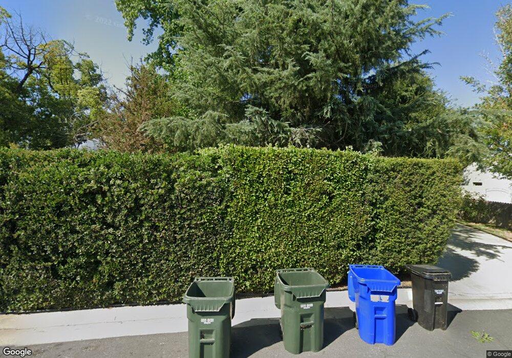
963 Lewiston St Duarte, CA 91010
Estimated Value: $871,000 - $1,046,000
4
Beds
2
Baths
2,176
Sq Ft
$436/Sq Ft
Est. Value
About This Home
This home is located at 963 Lewiston St, Duarte, CA 91010 and is currently estimated at $948,187, approximately $435 per square foot. 963 Lewiston St is a home located in Los Angeles County with nearby schools including Maxwell Elementary School and Duarte High School.
Ownership History
Date
Name
Owned For
Owner Type
Purchase Details
Closed on
Sep 25, 2001
Sold by
The Olivieri Family Trust
Bought by
Aguirre Manuel and Aguirre Haydee
Current Estimated Value
Home Financials for this Owner
Home Financials are based on the most recent Mortgage that was taken out on this home.
Original Mortgage
$227,905
Outstanding Balance
$88,884
Interest Rate
6.84%
Estimated Equity
$859,303
Purchase Details
Closed on
Aug 12, 1993
Sold by
Olivieri Joseph Angelo and Olivieri Mary Lee
Bought by
Olivieri Joseph Angelo and Olivieri Mary Lee
Create a Home Valuation Report for This Property
The Home Valuation Report is an in-depth analysis detailing your home's value as well as a comparison with similar homes in the area
Home Values in the Area
Average Home Value in this Area
Purchase History
| Date | Buyer | Sale Price | Title Company |
|---|---|---|---|
| Aguirre Manuel | $240,000 | Fidelity National Title Co | |
| Olivieri Joseph Angelo | -- | -- |
Source: Public Records
Mortgage History
| Date | Status | Borrower | Loan Amount |
|---|---|---|---|
| Open | Aguirre Manuel | $227,905 |
Source: Public Records
Tax History Compared to Growth
Tax History
| Year | Tax Paid | Tax Assessment Tax Assessment Total Assessment is a certain percentage of the fair market value that is determined by local assessors to be the total taxable value of land and additions on the property. | Land | Improvement |
|---|---|---|---|---|
| 2025 | $5,086 | $354,381 | $237,982 | $116,399 |
| 2024 | $5,086 | $347,433 | $233,316 | $114,117 |
| 2023 | $4,947 | $340,622 | $228,742 | $111,880 |
| 2022 | $4,829 | $333,944 | $224,257 | $109,687 |
| 2021 | $4,762 | $327,397 | $219,860 | $107,537 |
| 2019 | $4,385 | $317,689 | $213,340 | $104,349 |
| 2018 | $4,281 | $311,460 | $209,157 | $102,303 |
| 2016 | $4,073 | $299,368 | $201,036 | $98,332 |
| 2015 | $3,989 | $294,872 | $198,017 | $96,855 |
| 2014 | $3,955 | $289,097 | $194,139 | $94,958 |
Source: Public Records
Map
Nearby Homes
- 874 Cinnamon Ln Unit 62
- 1900 Mountain Ave
- 826 Cinnamon Ln
- 811 Cinnamon Ln
- 2047 Delford Ave
- 2024 Mountain Ave
- 1823 Broadland Ave
- 2048 Felberg Ave
- 1619 Shepherd Dr
- 2112 California Ave
- 1245 Oliva Ct
- 1214 Huntington Dr Unit I
- 1408 S California Ave Unit C
- 1406 S California Ave Unit C
- 322 Joella St
- 1035 E Huntington Dr Unit 28
- 1020 S Mountain Ave Unit 15
- 237 Los Angeles Ave
- 151 E El Norte St
- 207 Los Angeles Ave
- 953 Lewiston St
- 971 Lewiston St
- 1044 Hurstview St
- 1052 Hurstview St
- 1060 Hurstview St
- 949 Lewiston St
- 1038 Hurstview St
- 977 Lewiston St
- 1066 Hurstview St
- 1032 Hurstview St
- 962 Lewiston St
- 943 Lewiston St
- 970 Lewiston St
- 2041 Broach Ave
- 956 Lewiston St
- 948 Lewiston St
- 976 Lewiston St
- 1026 Hurstview St
- 939 Lewiston St
- 942 Lewiston St
