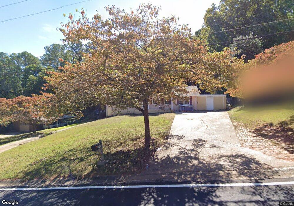
963 Pair Rd SW Unit 5 Marietta, GA 30060
Southwestern Marietta NeighborhoodEstimated Value: $307,000 - $330,000
2
Beds
1
Bath
1,350
Sq Ft
$235/Sq Ft
Est. Value
About This Home
This home is located at 963 Pair Rd SW Unit 5, Marietta, GA 30060 and is currently estimated at $317,335, approximately $235 per square foot. 963 Pair Rd SW Unit 5 is a home located in Cobb County with nearby schools including Birney Elementary School, Floyd Middle School, and Osborne High School.
Ownership History
Date
Name
Owned For
Owner Type
Purchase Details
Closed on
Jun 3, 2025
Sold by
Nervo Moise and Regime Emanuel
Bought by
Cherestal Raise
Current Estimated Value
Purchase Details
Closed on
Dec 17, 2024
Sold by
Rause Cherestal
Bought by
Cherestal Nerva
Purchase Details
Closed on
Mar 28, 2006
Sold by
Craven Pervis S and Craven Ann L
Bought by
Cherestal Rause P
Home Financials for this Owner
Home Financials are based on the most recent Mortgage that was taken out on this home.
Original Mortgage
$31,000
Interest Rate
6.2%
Mortgage Type
Stand Alone Refi Refinance Of Original Loan
Purchase Details
Closed on
Aug 18, 2004
Sold by
Craven Pervis S
Bought by
Craven Pervis S and Craven Ann
Create a Home Valuation Report for This Property
The Home Valuation Report is an in-depth analysis detailing your home's value as well as a comparison with similar homes in the area
Home Values in the Area
Average Home Value in this Area
Purchase History
| Date | Buyer | Sale Price | Title Company |
|---|---|---|---|
| Cherestal Raise | -- | None Listed On Document | |
| Cherestal Raise | -- | None Listed On Document | |
| Cherestal Nerva | -- | None Listed On Document | |
| Cherestal Rause P | $155,000 | -- | |
| Craven Pervis S | -- | -- |
Source: Public Records
Mortgage History
| Date | Status | Borrower | Loan Amount |
|---|---|---|---|
| Previous Owner | Cherestal Rause P | $31,000 |
Source: Public Records
Tax History Compared to Growth
Tax History
| Year | Tax Paid | Tax Assessment Tax Assessment Total Assessment is a certain percentage of the fair market value that is determined by local assessors to be the total taxable value of land and additions on the property. | Land | Improvement |
|---|---|---|---|---|
| 2025 | $3,980 | $132,080 | $32,000 | $100,080 |
| 2024 | $749 | $121,668 | $32,000 | $89,668 |
| 2023 | $534 | $118,856 | $28,000 | $90,856 |
| 2022 | $709 | $108,264 | $28,000 | $80,264 |
| 2021 | $338 | $36,944 | $28,000 | $8,944 |
| 2020 | $141 | $19,732 | $12,000 | $7,732 |
| 2019 | $325 | $19,732 | $12,000 | $7,732 |
| 2018 | $325 | $19,732 | $12,000 | $7,732 |
| 2017 | $1,251 | $52,436 | $12,000 | $40,436 |
| 2016 | $653 | $31,608 | $8,000 | $23,608 |
| 2015 | $671 | $31,608 | $8,000 | $23,608 |
| 2014 | $562 | $27,736 | $0 | $0 |
Source: Public Records
Map
Nearby Homes
- 3141 Holbrook Dr SW
- 825 Winfield Ct SW
- 959 Old Milford Church Rd SW
- 1108 Byers Dr SW
- 800 Grindstone Place SW
- 3355 Carolina Wren Trail SW
- 1020 Hicksmil Dr SW
- 3004 Michael Dr SW
- 2940 Caller Ct SW
- 3337 Mill Stream Ln SW
- 971 Canyon Trail SW
- 760 Stone Harbor Pkwy SW
- 3421 Mill Stream Ln SW Unit 3
- 3427 Mill Stream Ln SW
- 2907 Crest Ridge Ct SW
- 3241 Wildwood Dr SW
- 3309 Raes Creek Rd Unit 13
- 951 Pair Rd SW
- 975 Pair Rd SW
- 3179 Santa fe Trail SW
- 3180 Santa fe Trail SW
- 991 Pair Rd SW
- 941 Pair Rd SW Unit 5
- 974 Pair Rd SW
- 3177 Chisholm Trail SW
- 960 Pair Rd SW
- 990 Pair Rd SW
- 3195 Chisholm Trail SW
- 3190 Santa fe Trail SW
- 944 Pair Rd SW
- 931 Pair Rd SW
- 931 Pair Rd SW
- 3189 Santa fe Trail SW
- 1004 Pair Rd SW
- 3205 Chisholm Trail SW
- 930 Pair Rd SW
- 3200 Santa fe Trail SW Unit 5