9631 Austin Way Manassas, VA 20110
Old Town Manassas NeighborhoodEstimated Value: $597,914 - $662,000
4
Beds
3
Baths
2,002
Sq Ft
$315/Sq Ft
Est. Value
About This Home
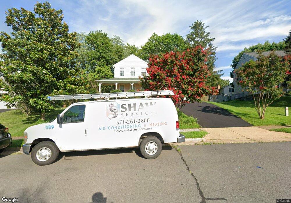
This home is located at 9631 Austin Way, Manassas, VA 20110 and is currently estimated at $631,229, approximately $315 per square foot. 9631 Austin Way is a home located in Manassas City with nearby schools including George Carr Round Elementary School, Mayfield Intermediate School, and Grace E. Metz Middle School.
Ownership History
Date
Name
Owned For
Owner Type
Purchase Details
Closed on
Sep 20, 2013
Sold by
Martin George R
Bought by
Russell Ryan W
Current Estimated Value
Home Financials for this Owner
Home Financials are based on the most recent Mortgage that was taken out on this home.
Original Mortgage
$313,500
Outstanding Balance
$234,129
Interest Rate
4.42%
Mortgage Type
New Conventional
Estimated Equity
$397,100
Create a Home Valuation Report for This Property
The Home Valuation Report is an in-depth analysis detailing your home's value as well as a comparison with similar homes in the area
Home Values in the Area
Average Home Value in this Area
Purchase History
| Date | Buyer | Sale Price | Title Company |
|---|---|---|---|
| Russell Ryan W | $360,000 | -- |
Source: Public Records
Mortgage History
| Date | Status | Borrower | Loan Amount |
|---|---|---|---|
| Open | Russell Ryan W | $313,500 |
Source: Public Records
Tax History Compared to Growth
Tax History
| Year | Tax Paid | Tax Assessment Tax Assessment Total Assessment is a certain percentage of the fair market value that is determined by local assessors to be the total taxable value of land and additions on the property. | Land | Improvement |
|---|---|---|---|---|
| 2024 | $6,372 | $505,700 | $167,000 | $338,700 |
| 2023 | $6,121 | $485,800 | $162,000 | $323,800 |
| 2022 | $5,805 | $432,600 | $141,000 | $291,600 |
| 2021 | $5,619 | $393,200 | $125,500 | $267,700 |
| 2020 | $5,328 | $364,900 | $121,500 | $243,400 |
| 2019 | $5,156 | $348,400 | $118,000 | $230,400 |
| 2018 | $4,913 | $336,500 | $112,500 | $224,000 |
| 2017 | -- | $327,600 | $112,500 | $215,100 |
| 2016 | $4,676 | $333,300 | $0 | $0 |
| 2015 | -- | $344,800 | $112,500 | $232,300 |
| 2014 | -- | $0 | $0 | $0 |
Source: Public Records
Map
Nearby Homes
- 9541 Justin Ln
- 9521 Vinnia Ct
- 10102 Queens Way
- 10106 Queens Way
- 10114 Queens Way
- 10118 Queens Way
- 10130 Queens Way
- BALMORAL Plan at Kings Landing
- HIGHGROVE Plan at Kings Landing
- 10166 Queens Way
- 10170 Queens Way
- 9348 Amaryllis Ave
- 9444 Corey Dr
- 9341 Amaryllis Ave
- 10123 Erin Ct
- 9781 Mock Orange Ct
- 9532 School St
- 9653 Old Wellington Rd
- 9352 Wax Myrtle Way
- 9305 Gooseberry Dr
- 9633 Austin Way
- 9629 Austin Way
- 9632 Shannon Ln
- 10232 Battlefield Dr
- 9634 Shannon Ln
- 10226 Battlefield Dr
- 10236 Battlefield Dr
- 9635 Austin Way
- 9632 Austin Way
- 9636 Shannon Ln
- 9637 Austin Way
- 10231 Battlefield Dr
- 9634 Austin Way
- 10233 Battlefield Dr
- 9633 Shannon Ln
- 9635 Shannon Ln
- 10229 Battlefield Dr
- 9631 Shannon Ln
- 9638 Shannon Ln
- 10235 Battlefield Dr