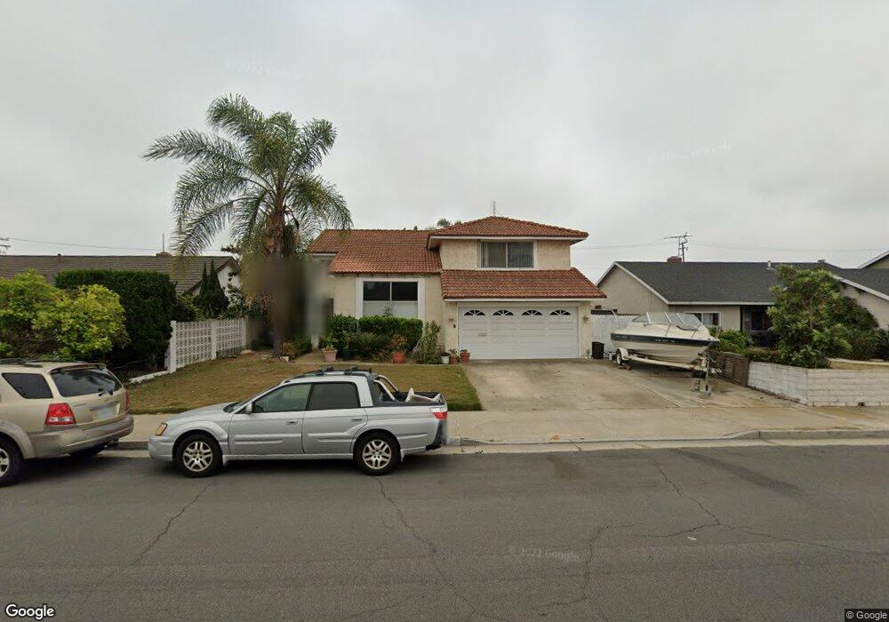
9632 Scotstoun Dr Huntington Beach, CA 92646
Southeast NeighborhoodEstimated Value: $1,561,992 - $1,709,000
5
Beds
3
Baths
2,068
Sq Ft
$798/Sq Ft
Est. Value
About This Home
This home is located at 9632 Scotstoun Dr, Huntington Beach, CA 92646 and is currently estimated at $1,649,248, approximately $797 per square foot. 9632 Scotstoun Dr is a home located in Orange County with nearby schools including Ralph E. Hawes Elementary School, Isaac L. Sowers Middle School, and Edison High School.
Ownership History
Date
Name
Owned For
Owner Type
Purchase Details
Closed on
Dec 10, 2009
Sold by
Megens David E and Dykema Sue M
Bought by
Dykema Sue M and Megens David E
Current Estimated Value
Home Financials for this Owner
Home Financials are based on the most recent Mortgage that was taken out on this home.
Original Mortgage
$395,000
Interest Rate
4.78%
Mortgage Type
New Conventional
Purchase Details
Closed on
Jan 23, 2002
Sold by
Megens David E
Bought by
Megens David E and Dykema Sue M
Home Financials for this Owner
Home Financials are based on the most recent Mortgage that was taken out on this home.
Original Mortgage
$250,000
Interest Rate
7.17%
Create a Home Valuation Report for This Property
The Home Valuation Report is an in-depth analysis detailing your home's value as well as a comparison with similar homes in the area
Home Values in the Area
Average Home Value in this Area
Purchase History
| Date | Buyer | Sale Price | Title Company |
|---|---|---|---|
| Dykema Sue M | -- | Lsi Title Company | |
| Megens David E | -- | Lawyers Title Company |
Source: Public Records
Mortgage History
| Date | Status | Borrower | Loan Amount |
|---|---|---|---|
| Closed | Dykema Sue M | $395,000 | |
| Closed | Megens David E | $250,000 |
Source: Public Records
Tax History Compared to Growth
Tax History
| Year | Tax Paid | Tax Assessment Tax Assessment Total Assessment is a certain percentage of the fair market value that is determined by local assessors to be the total taxable value of land and additions on the property. | Land | Improvement |
|---|---|---|---|---|
| 2025 | $3,132 | $260,616 | $115,119 | $145,497 |
| 2024 | $3,132 | $255,506 | $112,861 | $142,645 |
| 2023 | $3,057 | $250,497 | $110,648 | $139,849 |
| 2022 | $2,975 | $245,586 | $108,479 | $137,107 |
| 2021 | $2,920 | $240,771 | $106,352 | $134,419 |
| 2020 | $2,899 | $238,303 | $105,262 | $133,041 |
| 2019 | $2,866 | $233,631 | $103,198 | $130,433 |
| 2018 | $2,821 | $229,050 | $101,174 | $127,876 |
| 2017 | $2,782 | $224,559 | $99,190 | $125,369 |
| 2016 | $2,665 | $220,156 | $97,245 | $122,911 |
| 2015 | $2,637 | $216,850 | $95,785 | $121,065 |
| 2014 | $2,581 | $212,603 | $93,909 | $118,694 |
Source: Public Records
Map
Nearby Homes
- 20862 Lancelot Ln
- 21382 Lemontree Ln
- 9221 Belcaro Dr
- 21221 Hillsdale Ln
- 21022 Manessa Cir
- 9412 Hingham Dr
- 10092 Dana Dr
- 21072 Galbar Cir
- 10101 Theseus Dr
- 20392 Redwood Ln
- 9171 Regatta Dr
- 9522 Yellowstone Dr
- 8932 Amador Cir Unit 1309B
- 21662 Brookhurst St Unit D
- 21211 Poston Ln
- 20442 Craimer Ln
- 21621 Kaneohe Ln
- 2175 Pacific Ave Unit C1
- 1269 Westreef
- 10172 Stonybrook Dr
- 9642 Scotstoun Dr
- 9622 Scotstoun Dr
- 9662 Scotstoun Dr
- 9612 Scotstoun Dr
- 20942 Hunter Ln
- 20941 Balgair Cir
- 9672 Scotstoun Dr
- 9602 Scotstoun Dr
- 20932 Hunter Ln
- 9621 Orient Dr
- 20941 Hunter Ln
- 9641 Orient Dr
- 9611 Orient Dr
- 20931 Balgair Cir
- 9651 Orient Dr
- 9601 Orient Dr
- 9682 Scotstoun Dr
- 9592 Scotstoun Dr
- 20931 Hunter Ln
- 20912 Hunter Ln