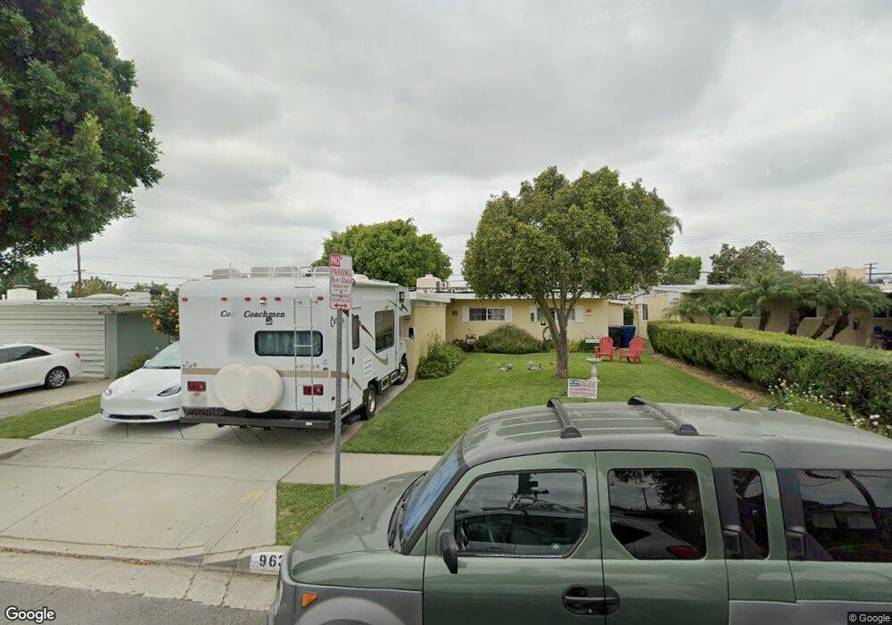
9637 Gunn Ave Whittier, CA 90605
South Whittier NeighborhoodEstimated Value: $737,455 - $803,000
3
Beds
2
Baths
1,176
Sq Ft
$658/Sq Ft
Est. Value
About This Home
This home is located at 9637 Gunn Ave, Whittier, CA 90605 and is currently estimated at $774,364, approximately $658 per square foot. 9637 Gunn Ave is a home located in Los Angeles County with nearby schools including Mulberry Elementary School, Hillview Middle School, and California High School.
Ownership History
Date
Name
Owned For
Owner Type
Purchase Details
Closed on
Nov 19, 2021
Sold by
Reynoso Carlos B and Reynoso Concepcion
Bought by
Reynoso Carlos B and Reynoso Concepdon
Current Estimated Value
Home Financials for this Owner
Home Financials are based on the most recent Mortgage that was taken out on this home.
Original Mortgage
$275,000
Outstanding Balance
$252,199
Interest Rate
3.05%
Mortgage Type
New Conventional
Estimated Equity
$522,165
Purchase Details
Closed on
Feb 10, 1994
Sold by
Talley Maurice N
Bought by
Reynoso Carlos B
Home Financials for this Owner
Home Financials are based on the most recent Mortgage that was taken out on this home.
Original Mortgage
$137,750
Interest Rate
7.59%
Create a Home Valuation Report for This Property
The Home Valuation Report is an in-depth analysis detailing your home's value as well as a comparison with similar homes in the area
Home Values in the Area
Average Home Value in this Area
Purchase History
| Date | Buyer | Sale Price | Title Company |
|---|---|---|---|
| Reynoso Carlos B | -- | First American Title Company O | |
| Reynoso Karla F | -- | First American Title Company O | |
| Reynoso Carlos B | $145,000 | Southland Title Corporation |
Source: Public Records
Mortgage History
| Date | Status | Borrower | Loan Amount |
|---|---|---|---|
| Open | Reynoso Karla F | $275,000 | |
| Closed | Reynoso Carlos B | $0 | |
| Previous Owner | Reynoso Carlos B | $137,750 |
Source: Public Records
Tax History Compared to Growth
Tax History
| Year | Tax Paid | Tax Assessment Tax Assessment Total Assessment is a certain percentage of the fair market value that is determined by local assessors to be the total taxable value of land and additions on the property. | Land | Improvement |
|---|---|---|---|---|
| 2025 | $3,275 | $246,420 | $154,314 | $92,106 |
| 2024 | $3,275 | $241,589 | $151,289 | $90,300 |
| 2023 | $3,221 | $236,853 | $148,323 | $88,530 |
| 2022 | $3,153 | $232,210 | $145,415 | $86,795 |
| 2021 | $3,090 | $227,658 | $142,564 | $85,094 |
| 2019 | $3,029 | $220,908 | $138,337 | $82,571 |
| 2018 | $2,898 | $216,577 | $135,625 | $80,952 |
| 2016 | $2,741 | $208,168 | $130,359 | $77,809 |
| 2015 | $2,722 | $205,042 | $128,401 | $76,641 |
| 2014 | $2,690 | $201,026 | $125,886 | $75,140 |
Source: Public Records
Map
Nearby Homes
- 14033 Oval Dr
- 14042 Hawes St
- 10035 Ben Hur Ave
- 13856 Mulberry Dr
- 14064 Carnell St
- 13762 Danbrook Dr
- 14146 Light St
- 14037 Mystic St
- 10241 Ruoff Ave
- 9551 Barkerville Ave
- 14013 Chestnut St
- 14518 Rimgate Dr
- 8919 Boyar Ave
- 8807 Jacmar Ave
- 13649 Reis St
- 14239 Cullen St
- 14539 Cullen St
- 13535 Dunton Dr
- 10123 Lanett Ave
- 8723 Laurel Ave