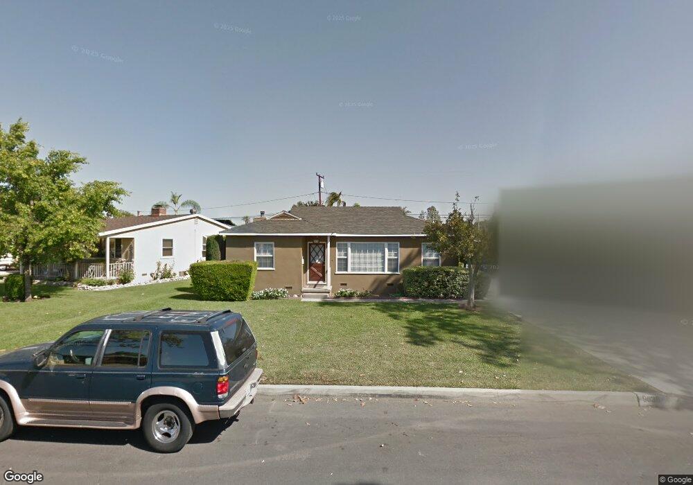
9638 Rufus Ave Whittier, CA 90604
South Whittier NeighborhoodEstimated Value: $719,525 - $802,000
4
Beds
2
Baths
1,214
Sq Ft
$618/Sq Ft
Est. Value
About This Home
This home is located at 9638 Rufus Ave, Whittier, CA 90604 and is currently estimated at $750,131, approximately $617 per square foot. 9638 Rufus Ave is a home located in Los Angeles County with nearby schools including Mulberry Elementary School, Hillview Middle School, and California High School.
Ownership History
Date
Name
Owned For
Owner Type
Purchase Details
Closed on
Jul 26, 2017
Sold by
Dominguez Alfred M
Bought by
Dominguez Alfred M and Alfred M Dominguez 2017 Trust
Current Estimated Value
Purchase Details
Closed on
Jan 9, 2014
Sold by
Dominguez Martha
Bought by
Dominguez Alfred M
Purchase Details
Closed on
Dec 3, 2002
Sold by
Dominguez Angela M and Dominguez Alfred M
Bought by
Dominguez Alfred M
Purchase Details
Closed on
May 19, 1994
Sold by
Dominguez Alfred M
Bought by
Dominguez Angela M
Home Financials for this Owner
Home Financials are based on the most recent Mortgage that was taken out on this home.
Original Mortgage
$48,700
Interest Rate
9%
Create a Home Valuation Report for This Property
The Home Valuation Report is an in-depth analysis detailing your home's value as well as a comparison with similar homes in the area
Home Values in the Area
Average Home Value in this Area
Purchase History
| Date | Buyer | Sale Price | Title Company |
|---|---|---|---|
| Dominguez Alfred M | -- | None Available | |
| Dominguez Alfred M | -- | None Available | |
| Dominguez Alfred M | -- | -- | |
| Dominguez Angela M | -- | Gateway Title Company | |
| Dominguez Alfred M | -- | Gateway Title Company |
Source: Public Records
Mortgage History
| Date | Status | Borrower | Loan Amount |
|---|---|---|---|
| Closed | Dominguez Angela M | $48,700 |
Source: Public Records
Tax History
| Year | Tax Paid | Tax Assessment Tax Assessment Total Assessment is a certain percentage of the fair market value that is determined by local assessors to be the total taxable value of land and additions on the property. | Land | Improvement |
|---|---|---|---|---|
| 2025 | $2,479 | $173,154 | $86,577 | $86,577 |
| 2024 | $2,479 | $169,760 | $84,880 | $84,880 |
| 2023 | $2,439 | $166,432 | $83,216 | $83,216 |
| 2022 | $2,388 | $163,170 | $81,585 | $81,585 |
| 2021 | $2,340 | $159,972 | $79,986 | $79,986 |
| 2019 | $2,294 | $155,228 | $77,614 | $77,614 |
| 2018 | $2,178 | $152,186 | $76,093 | $76,093 |
| 2016 | $2,057 | $146,278 | $73,139 | $73,139 |
| 2015 | $2,042 | $144,082 | $72,041 | $72,041 |
| 2014 | $2,022 | $141,260 | $70,630 | $70,630 |
Source: Public Records
Map
Nearby Homes
- 10035 Ben Hur Ave
- 10044 Ben Hur Ave
- 9834 Ahmann Ave
- 14021 Fernview St
- 9931 Rufus Ave
- 13856 Mulberry Dr
- 14255 Broadway
- 14315 Broadway Unit 210
- 13840 Danbrook Dr
- 9441 Ruoff Ave
- 9308 Tarryton Ave
- 9551 Barkerville Ave
- 9344 Firebird Ave
- 13935 Chestnut St
- 10415 Valley View Ave
- 14723 Terryknoll Dr
- 13561 Close St
- 14744 Terryknoll Dr
- 13448 Dunton Dr
- 13751 Bentongrove Dr
- 9630 Rufus Ave
- 9648 Rufus Ave
- 9753 Ben Hur Ave
- 9759 Ben Hur Ave
- 9624 Rufus Ave
- 9747 Ben Hur Ave
- 9763 Ben Hur Ave
- 9741 Ben Hur Ave
- 9620 Rufus Ave
- 9641 Rufus Ave
- 9660 Rufus Ave
- 9637 Rufus Ave
- 9647 Rufus Ave
- 9631 Rufus Ave
- 9651 Rufus Ave
- 9737 Ben Hur Ave
- 14211 Oval Dr
- 9625 Rufus Ave
- 14167 Oval Dr Unit 38
- 9614 Rufus Ave
Your Personal Tour Guide
Ask me questions while you tour the home.