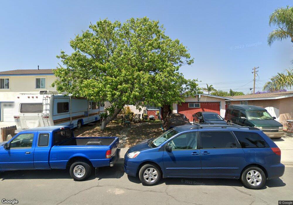
9641 Canton Ave Anaheim, CA 92804
West Anaheim NeighborhoodEstimated Value: $854,046 - $895,000
4
Beds
2
Baths
1,288
Sq Ft
$677/Sq Ft
Est. Value
About This Home
This home is located at 9641 Canton Ave, Anaheim, CA 92804 and is currently estimated at $872,512, approximately $677 per square foot. 9641 Canton Ave is a home located in Orange County with nearby schools including Jonas E. Salk Elementary School, Dale Jr High School, and Magnolia High.
Ownership History
Date
Name
Owned For
Owner Type
Purchase Details
Closed on
Jan 25, 2002
Sold by
Adams Thomas Joseph
Bought by
Adams Thomas Joseph
Current Estimated Value
Home Financials for this Owner
Home Financials are based on the most recent Mortgage that was taken out on this home.
Original Mortgage
$83,500
Interest Rate
7.11%
Purchase Details
Closed on
Sep 18, 2001
Sold by
Adams Thomas Joseph
Bought by
Adams Thomas Joseph and Thomas Joseph Adams Separate Property Tr
Purchase Details
Closed on
Feb 10, 1999
Sold by
Adams Thomas J
Bought by
Adams Thomas Joseph and Thomas Joseph Adams Separate Property Tr
Create a Home Valuation Report for This Property
The Home Valuation Report is an in-depth analysis detailing your home's value as well as a comparison with similar homes in the area
Home Values in the Area
Average Home Value in this Area
Purchase History
| Date | Buyer | Sale Price | Title Company |
|---|---|---|---|
| Adams Thomas Joseph | -- | United Title Company | |
| Adams Thomas Joseph | -- | -- | |
| Adams Thomas Joseph | -- | None Available |
Source: Public Records
Mortgage History
| Date | Status | Borrower | Loan Amount |
|---|---|---|---|
| Closed | Adams Thomas Joseph | $83,500 |
Source: Public Records
Tax History
| Year | Tax Paid | Tax Assessment Tax Assessment Total Assessment is a certain percentage of the fair market value that is determined by local assessors to be the total taxable value of land and additions on the property. | Land | Improvement |
|---|---|---|---|---|
| 2025 | $1,005 | $56,132 | $27,172 | $28,960 |
| 2024 | $1,005 | $55,032 | $26,639 | $28,393 |
| 2023 | $973 | $53,953 | $26,116 | $27,837 |
| 2022 | $966 | $52,896 | $25,604 | $27,292 |
| 2021 | $951 | $51,859 | $25,102 | $26,757 |
| 2020 | $953 | $51,328 | $24,845 | $26,483 |
| 2019 | $939 | $50,322 | $24,358 | $25,964 |
| 2018 | $937 | $49,336 | $23,881 | $25,455 |
| 2017 | $909 | $48,369 | $23,413 | $24,956 |
| 2016 | $907 | $47,421 | $22,954 | $24,467 |
| 2015 | $909 | $46,709 | $22,609 | $24,100 |
| 2014 | $855 | $45,795 | $22,167 | $23,628 |
Source: Public Records
Map
Nearby Homes
- 1765 S Biscayne Ct
- 10601 Patricia Dr
- 9652 Dewey Dr
- 11192 Biscayne Ct
- 10402 Patricia Dr
- 9155 Pacific Ave Unit 265
- 2161 W Harle Ave
- 11421 Barclay Dr
- 11142 Vinevale St
- 11432 Pollard Dr
- 1632 S Songish St
- 11222 Magnolia St
- 2011 W Katella Ave Unit 3
- 10081 Orangewood Ave
- 10471 Magnolia Ave
- 9862 Royal Palm Blvd
- 2631 W Cerritos Ave
- 10802 Mac St
- 1250 S Brookhurst St Unit 2050
- 1250 S Brookhurst St Unit 1109
- 9621 Canton Ave
- 9651 Canton Ave
- 9642 Banta Ave
- 9611 Canton Ave
- 9661 Canton Ave
- 9622 Banta Ave
- 9652 Banta Ave
- 9622 Canton Ave
- 9642 Canton Ave
- 9612 Banta Ave
- 9662 Banta Ave
- 9601 Canton Ave
- 9671 Canton Ave
- 9612 Canton Ave
- 9652 Canton Ave
- 9602 Banta Ave
- 9672 Banta Ave
- 9602 Canton Ave
- 9672 Canton Ave
- 9591 Canton Ave
Your Personal Tour Guide
Ask me questions while you tour the home.