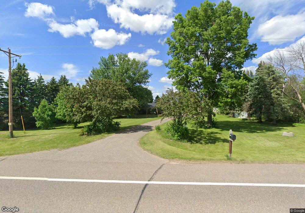
9645 190th St E Hastings, MN 55033
Hastings-Marshan Township NeighborhoodEstimated Value: $587,622 - $758,000
3
Beds
3
Baths
3,277
Sq Ft
$202/Sq Ft
Est. Value
About This Home
This home is located at 9645 190th St E, Hastings, MN 55033 and is currently estimated at $662,906, approximately $202 per square foot. 9645 190th St E is a home located in Dakota County with nearby schools including Pinecrest Elementary School, Hastings Middle School, and Hastings High School.
Ownership History
Date
Name
Owned For
Owner Type
Purchase Details
Closed on
Nov 23, 2017
Sold by
Ger Bes Enterprises
Bought by
Beskau Farms Llc
Current Estimated Value
Purchase Details
Closed on
Jun 26, 2006
Sold by
Harry H Schaffer Living Trust
Bought by
Ger Bes Enterprises
Purchase Details
Closed on
Aug 25, 1998
Sold by
Ger-Bes Real Estate
Bought by
Schaffer Harry A and Schaffer Bernice A
Create a Home Valuation Report for This Property
The Home Valuation Report is an in-depth analysis detailing your home's value as well as a comparison with similar homes in the area
Home Values in the Area
Average Home Value in this Area
Purchase History
| Date | Buyer | Sale Price | Title Company |
|---|---|---|---|
| Beskau Farms Llc | -- | None Available | |
| Ger Bes Enterprises | $319,000 | -- | |
| Schaffer Harry A | $1,100 | -- | |
| Schaffer Harry H | $200,000 | -- |
Source: Public Records
Tax History
| Year | Tax Paid | Tax Assessment Tax Assessment Total Assessment is a certain percentage of the fair market value that is determined by local assessors to be the total taxable value of land and additions on the property. | Land | Improvement |
|---|---|---|---|---|
| 2024 | $3,606 | $550,300 | $93,100 | $457,200 |
| 2023 | $3,606 | $508,700 | $88,000 | $420,700 |
| 2022 | $3,138 | $437,700 | $86,800 | $350,900 |
| 2021 | $3,392 | $393,000 | $82,500 | $310,500 |
| 2020 | $3,126 | $412,300 | $82,500 | $329,800 |
| 2019 | $3,058 | $351,700 | $78,600 | $273,100 |
| 2018 | $3,193 | $342,500 | $71,000 | $271,500 |
| 2017 | $3,132 | $338,300 | $67,600 | $270,700 |
| 2016 | $2,790 | $335,600 | $67,600 | $268,000 |
| 2015 | $2,647 | $303,500 | $65,000 | $238,500 |
| 2014 | -- | $286,100 | $62,600 | $223,500 |
| 2013 | -- | $250,500 | $56,600 | $193,900 |
Source: Public Records
Map
Nearby Homes
- 9685 160th St E
- 2685 Woodcliffe Trail
- 1634 River Shore Dr
- 1780 River Shore Dr
- 1595 River Shore Dr
- 1730 River Shore Dr
- 1168 Sherman Way
- 1079 S Pointe Dr
- 1796 Cobblestone Ct
- 546 Marmik Cir
- 1626 Fallbrooke Ct
- 2165 Westpointe Dr
- 2173 Westpointe Dr
- 2157 Westpointe Dr
- 2160 Ridge Pointe Dr
- 1817 Ridgepointe Ct
- 2109 Westpointe Dr
- 2120 Ridgepointe Dr
- 1832 Ridgepointe N
- 471 Frederick Cir Unit 1503
- 9660 190th St E
- 1 190th St
- 9975 190th St E
- 10045 190th St E
- 19399 Inga Ave
- 19445 Inga Ave
- 19359 Lewiston Blvd
- 19451 Inga Ave
- 19489 Inga Ave
- 19489 Inga Ave
- XXX Lewiston Blvd
- 19370 Lewiston Blvd
- 10215 190th St E
- 19529 Inga Ave
- 9020 190th St E
- 19475 Inga Ave
- 19274 Lewiston Blvd
- 19605 Inga Ave
- 19892 Inga Ave
- 8741 190th St E
Your Personal Tour Guide
Ask me questions while you tour the home.