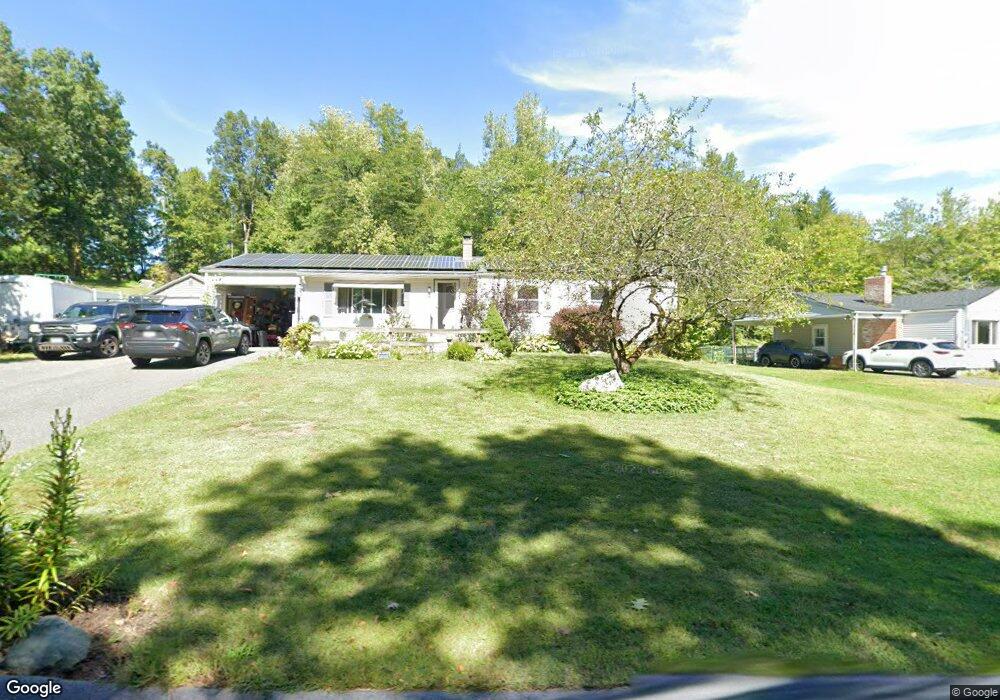
965 Burts Pit Rd Florence, MA 01062
Florence NeighborhoodEstimated Value: $403,000 - $455,000
3
Beds
2
Baths
1,248
Sq Ft
$342/Sq Ft
Est. Value
About This Home
This home is located at 965 Burts Pit Rd, Florence, MA 01062 and is currently estimated at $426,389, approximately $341 per square foot. 965 Burts Pit Rd is a home located in Hampshire County with nearby schools including Northampton High School, Hilltown Cooperative Charter Public School, and The Montessori School of Northampton.
Ownership History
Date
Name
Owned For
Owner Type
Purchase Details
Closed on
Mar 15, 2000
Sold by
Myers Wanda Est
Bought by
Connell John F and Morrier Sharon C
Current Estimated Value
Create a Home Valuation Report for This Property
The Home Valuation Report is an in-depth analysis detailing your home's value as well as a comparison with similar homes in the area
Home Values in the Area
Average Home Value in this Area
Purchase History
| Date | Buyer | Sale Price | Title Company |
|---|---|---|---|
| Connell John F | $125,000 | -- |
Source: Public Records
Mortgage History
| Date | Status | Borrower | Loan Amount |
|---|---|---|---|
| Open | Connell John F | $150,000 | |
| Closed | Connell John F | $100,000 | |
| Closed | Connell John F | $50,000 | |
| Closed | Connell John F | $30,000 |
Source: Public Records
Tax History
| Year | Tax Paid | Tax Assessment Tax Assessment Total Assessment is a certain percentage of the fair market value that is determined by local assessors to be the total taxable value of land and additions on the property. | Land | Improvement |
|---|---|---|---|---|
| 2025 | $5,285 | $379,400 | $125,000 | $254,400 |
| 2024 | $4,952 | $326,000 | $125,000 | $201,000 |
| 2023 | $4,782 | $301,900 | $113,500 | $188,400 |
| 2022 | $4,551 | $254,400 | $113,500 | $140,900 |
| 2021 | $4,033 | $232,200 | $108,500 | $123,700 |
| 2020 | $3,901 | $232,200 | $108,500 | $123,700 |
| 2019 | $3,653 | $210,300 | $93,500 | $116,800 |
| 2018 | $3,597 | $211,100 | $93,500 | $117,600 |
| 2017 | $3,523 | $211,100 | $93,500 | $117,600 |
| 2016 | $3,411 | $211,100 | $93,500 | $117,600 |
| 2015 | $3,302 | $209,000 | $93,500 | $115,500 |
| 2014 | $3,217 | $209,000 | $93,500 | $115,500 |
Source: Public Records
Map
Nearby Homes
- 815 Burts Pit Rd
- 723 Lot B Ryan Rd
- 697 Florence Rd
- 635 Florence Rd
- 296 Ryan Rd Unit A
- 296 Ryan Rd
- 296 Ryan Rd Unit B
- 967 Florence Rd
- 42 Clark St
- 832 Westhampton Rd
- 296 Old Wilson Rd
- 0 W Farms Rd
- 892 Westhampton Rd
- 751 Park Hill Rd
- 98 Park Hill Rd
- 37 Landy Ave
- 404 Sylvester Rd
- 20-11 Sylvester Rd
- 67 Park St Unit A
- 76 Maple St
- 973 Burts Pit Rd
- 981 Burts Pit Rd
- 989 Burts Pit Rd
- 931 Burts Pit Rd
- 934 Burts Pit Rd
- 997 Burts Pit Rd
- 271 Brookside Cir
- 279 Brookside Cir
- 263 Brookside Cir
- 287 Brookside Cir
- 18 Woods Rd
- 1005 Burts Pit Rd
- 15 Rural Ln
- 921 Burts Pit Rd
- 255 Brookside Cir
- 295 Brookside Cir
- 32 Woods Rd
- 264 Brookside Cir
- 286 Brookside Cir
- 256 Brookside Cir
Your Personal Tour Guide
Ask me questions while you tour the home.