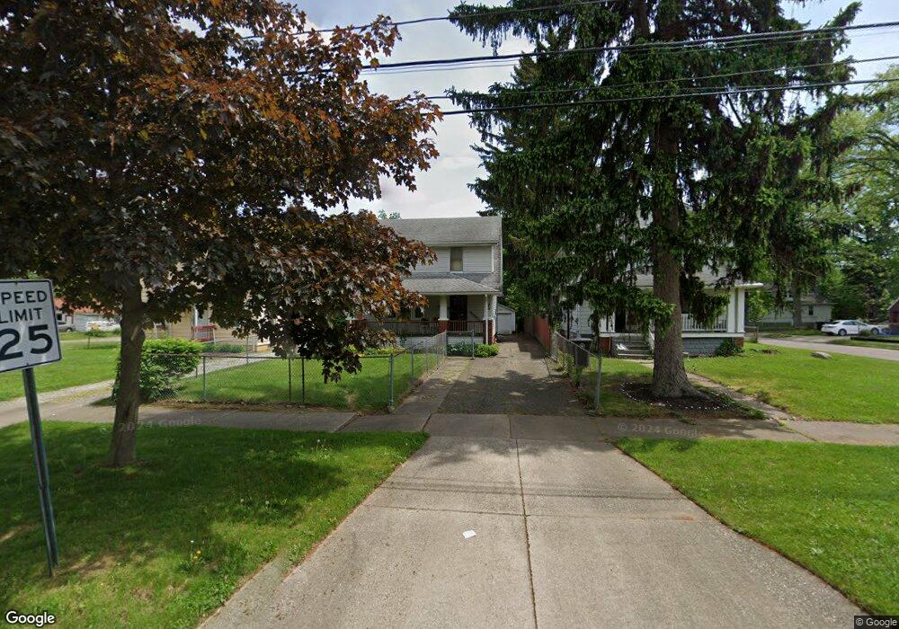
965 Packard Dr Akron, OH 44320
West Akron NeighborhoodEstimated Value: $93,933 - $131,000
3
Beds
1
Bath
1,296
Sq Ft
$87/Sq Ft
Est. Value
About This Home
This home is located at 965 Packard Dr, Akron, OH 44320 and is currently estimated at $112,233, approximately $86 per square foot. 965 Packard Dr is a home located in Summit County with nearby schools including Emmanuel Christian Academy and Julie Billiart School Akron.
Ownership History
Date
Name
Owned For
Owner Type
Purchase Details
Closed on
Jan 17, 1997
Sold by
Payne Ramon J
Bought by
Libby C Addie
Current Estimated Value
Home Financials for this Owner
Home Financials are based on the most recent Mortgage that was taken out on this home.
Original Mortgage
$51,300
Outstanding Balance
$5,465
Interest Rate
7.54%
Mortgage Type
New Conventional
Estimated Equity
$106,768
Create a Home Valuation Report for This Property
The Home Valuation Report is an in-depth analysis detailing your home's value as well as a comparison with similar homes in the area
Home Values in the Area
Average Home Value in this Area
Purchase History
| Date | Buyer | Sale Price | Title Company |
|---|---|---|---|
| Libby C Addie | $57,000 | -- |
Source: Public Records
Mortgage History
| Date | Status | Borrower | Loan Amount |
|---|---|---|---|
| Open | Libby C Addie | $51,300 |
Source: Public Records
Tax History
| Year | Tax Paid | Tax Assessment Tax Assessment Total Assessment is a certain percentage of the fair market value that is determined by local assessors to be the total taxable value of land and additions on the property. | Land | Improvement |
|---|---|---|---|---|
| 2024 | $1,378 | $25,473 | $5,971 | $19,502 |
| 2023 | $1,378 | $25,473 | $5,971 | $19,502 |
| 2022 | $1,094 | $15,645 | $3,619 | $12,026 |
| 2021 | $1,095 | $15,645 | $3,619 | $12,026 |
| 2020 | $1,079 | $15,650 | $3,620 | $12,030 |
| 2019 | $1,162 | $15,400 | $4,700 | $10,700 |
| 2018 | $1,147 | $15,400 | $4,700 | $10,700 |
| 2017 | $1,181 | $15,400 | $4,700 | $10,700 |
| 2016 | $1,182 | $15,630 | $4,700 | $10,930 |
| 2015 | $1,181 | $15,630 | $4,700 | $10,930 |
| 2014 | $1,172 | $15,630 | $4,700 | $10,930 |
| 2013 | $1,300 | $17,840 | $4,700 | $13,140 |
Source: Public Records
Map
Nearby Homes
- 970 Mercer Ave
- 892-894 Storer Ave
- 1063 Packard Dr
- 852 Storer Ave
- 926 Winton Ave
- 1040 Mercer Ave
- 881 Stoner St
- 1088 Packard Dr
- 1067 Mercer Ave
- 849 Glenn St
- 801 Storer Ave
- 1074 Hartford Ave
- VL Mercer Ave
- 615 Noah Ave
- 1153 Packard Dr
- 1206 Diagonal Rd
- 1041 Diagonal Rd
- 1188 Hardesty Blvd
- 575 Noble Ave
- 1194 Greenwood Ave
- 961 Packard Dr
- 969 Packard Dr
- 956 Peerless Ave
- 960 Peerless Ave
- 948 Peerless Ave
- 952 Peerless Ave
- 949 Packard Dr
- 977 Packard Dr
- 977 Packard Dr
- 968 Packard Dr
- 944 Peerless Ave
- 970 Peerless Ave
- 945 Packard Dr
- 940 Peerless Ave
- 962 Packard Dr
- 978 Peerless Ave
- 958 Packard Dr
- 936 Peerless Ave
- 987 Packard Dr
- 954 Packard Dr
Your Personal Tour Guide
Ask me questions while you tour the home.