965 Sky High Dr Unit 86 Dillard, GA 30537
Estimated Value: $452,000 - $552,000
4
Beds
4
Baths
3,120
Sq Ft
$164/Sq Ft
Est. Value
About This Home
This home is located at 965 Sky High Dr Unit 86, Dillard, GA 30537 and is currently estimated at $512,520, approximately $164 per square foot. 965 Sky High Dr Unit 86 is a home located in Rabun County with nearby schools including Rabun County Primary School and Rabun County High School.
Ownership History
Date
Name
Owned For
Owner Type
Purchase Details
Closed on
Jul 31, 2020
Sold by
Post Margaret V
Bought by
Harrison Ellen T
Current Estimated Value
Purchase Details
Closed on
Jul 3, 2012
Sold by
Post V Margaret
Bought by
Margaret Vrooman Post
Purchase Details
Closed on
Jul 1, 1999
Bought by
Post Donald J
Purchase Details
Closed on
Mar 1, 1994
Purchase Details
Closed on
Jun 1, 1977
Create a Home Valuation Report for This Property
The Home Valuation Report is an in-depth analysis detailing your home's value as well as a comparison with similar homes in the area
Home Values in the Area
Average Home Value in this Area
Purchase History
| Date | Buyer | Sale Price | Title Company |
|---|---|---|---|
| Harrison Ellen T | $245,000 | -- | |
| Harrison Ellen T | $245,000 | -- | |
| Margaret Vrooman Post | -- | -- | |
| Margaret Vrooman Post | -- | -- | |
| Post Donald J | $218,000 | -- | |
| Post Donald J | $218,000 | -- | |
| -- | -- | -- | |
| -- | -- | -- | |
| -- | $13,000 | -- | |
| -- | $13,000 | -- |
Source: Public Records
Tax History Compared to Growth
Tax History
| Year | Tax Paid | Tax Assessment Tax Assessment Total Assessment is a certain percentage of the fair market value that is determined by local assessors to be the total taxable value of land and additions on the property. | Land | Improvement |
|---|---|---|---|---|
| 2025 | $4,268 | $154,514 | $28,000 | $126,514 |
| 2024 | $4,051 | $146,645 | $28,000 | $118,645 |
| 2023 | $3,838 | $122,640 | $22,400 | $100,240 |
| 2022 | $2,046 | $111,792 | $19,600 | $92,192 |
| 2021 | $1,735 | $92,519 | $11,200 | $81,319 |
| 2020 | $1,397 | $72,040 | $11,200 | $60,840 |
| 2019 | $1,425 | $72,939 | $11,200 | $61,739 |
| 2018 | $1,430 | $72,939 | $11,200 | $61,739 |
| 2017 | $1,350 | $71,789 | $11,200 | $60,589 |
| 2016 | $1,353 | $71,789 | $11,200 | $60,589 |
| 2015 | $1,313 | $68,199 | $11,200 | $56,999 |
| 2014 | $1,320 | $68,199 | $11,200 | $56,999 |
Source: Public Records
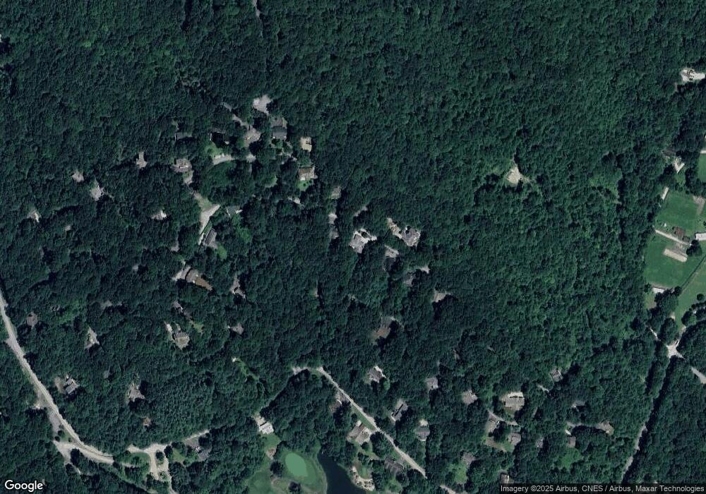
Map
Nearby Homes
- 1007 Sky High Dr
- 480 Sky High Dr
- Lot 35 Thomas Knob
- 334 Eagle Cir
- 767 Driver Ln
- 48 Little Bear Trail
- 0 LOT 66 Eagle Cir
- 81 Lost Valley Dr
- 63 Mashie Ln
- 70 Fairway Ln
- 119 Buttermilk Cir
- 0 Saddleback Cir Unit 10538862
- 137 Pleasant Mountain Dr
- 156 Tahoe Ln
- LOT 1 Pleasant Mountain Dr
- 1154 Saddleback Cir
- 0 Happy Hill Rd Unit 26041800
- 249 Dalton Dr
- 47 Brasstown Ln
- Lot 0172 Ridge Pole Estates
- 965 Sky High Dr
- 248 Moon Ridge Dr
- 941 Sky High Dr
- 277 Moon Ridge Dr
- 226 Moon Ridge Dr
- 226 Moon Ridge Dr Unit 71
- 921 Sky High Dr
- Lot#89 Northwoods 3 (Sky High Drive)
- Lot#89 Northwoods 3 (Sky High Dr)
- Lot#89 Northwoods 3 (Sky High Dr) Unit Lot89
- 452 Sky High Dr
- 452 Sky High Dr Unit 107
- 231 Moon Ridge Dr
- 480 Sky High Dr Unit 110
- 196 Moon Ridge Dr Unit 72
- 196 Moon Ridge Dr
- 528 Sky High Dr
- 881 Sky High Dr
- 196 196 Moon Ridge Dr
- 350 Sky High Dr