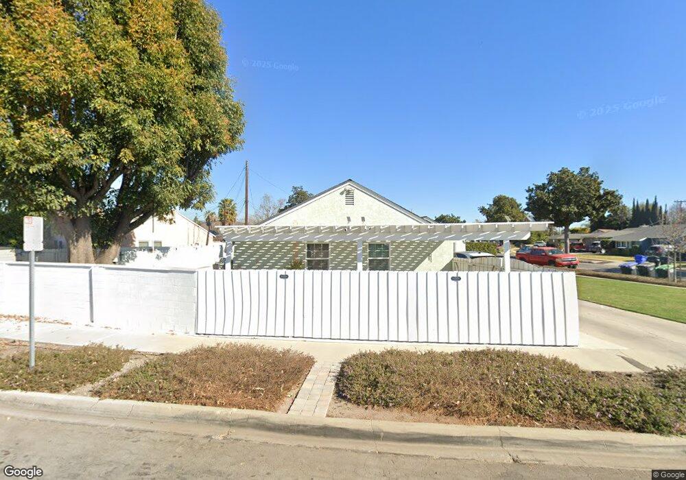
9650 Firebird Ave Whittier, CA 90605
South Whittier NeighborhoodEstimated Value: $615,000 - $743,000
2
Beds
1
Bath
1,038
Sq Ft
$673/Sq Ft
Est. Value
About This Home
This home is located at 9650 Firebird Ave, Whittier, CA 90605 and is currently estimated at $699,085, approximately $673 per square foot. 9650 Firebird Ave is a home located in Los Angeles County with nearby schools including Laurel Elementary School, Hillview Middle School, and Pioneer High School.
Ownership History
Date
Name
Owned For
Owner Type
Purchase Details
Closed on
May 27, 2015
Sold by
Molina Melyssa
Bought by
Molina Alfred Albert and Molina Melyssa Nicole
Current Estimated Value
Purchase Details
Closed on
Apr 15, 2015
Sold by
Colvin James Edward and Colvin Linda Diane
Bought by
Molina Melyssa
Purchase Details
Closed on
Mar 31, 2004
Sold by
Colvin Linda Diane
Bought by
Colvin James Edward and Colvin Linda Diane
Create a Home Valuation Report for This Property
The Home Valuation Report is an in-depth analysis detailing your home's value as well as a comparison with similar homes in the area
Home Values in the Area
Average Home Value in this Area
Purchase History
| Date | Buyer | Sale Price | Title Company |
|---|---|---|---|
| Molina Alfred Albert | -- | None Available | |
| Molina Melyssa | -- | None Available | |
| Colvin James Edward | -- | -- |
Source: Public Records
Tax History
| Year | Tax Paid | Tax Assessment Tax Assessment Total Assessment is a certain percentage of the fair market value that is determined by local assessors to be the total taxable value of land and additions on the property. | Land | Improvement |
|---|---|---|---|---|
| 2025 | $1,307 | $74,463 | $37,725 | $36,738 |
| 2024 | $1,307 | $73,004 | $36,986 | $36,018 |
| 2023 | $1,287 | $71,573 | $36,261 | $35,312 |
| 2022 | $1,259 | $70,170 | $35,550 | $34,620 |
| 2021 | $1,231 | $68,795 | $34,853 | $33,942 |
| 2019 | $1,206 | $66,756 | $33,820 | $32,936 |
| 2018 | $1,117 | $65,448 | $33,157 | $32,291 |
| 2016 | $1,048 | $62,908 | $31,870 | $31,038 |
| 2015 | $1,116 | $61,964 | $31,392 | $30,572 |
| 2014 | $1,111 | $60,752 | $30,778 | $29,974 |
Source: Public Records
Map
Nearby Homes
- 9563 Greening Ave
- 9551 Barkerville Ave
- 13540 Reis St
- 13414 Reis St
- 13561 Close St
- 9344 Firebird Ave
- 13814 Mystic St
- 10202 Mina Ave
- 9308 Tarryton Ave
- 13856 Mulberry Dr
- 13649 Lanning Dr
- 13448 Dunton Dr
- 9834 Ahmann Ave
- 14056 Hawes St
- 13838 Cornishcrest Rd
- 13924 Anola St
- 10035 Ben Hur Ave
- 13751 Bentongrove Dr
- 9134 Greenleaf Ave
- 14030 Dicky St
- 13493 Acapulco Dr
- 9636 Firebird Ave
- 9653 Firebird Ave
- 9643 Tarryton Ave
- 9647 Firebird Ave
- 9628 Firebird Ave
- 13484 Acapulco Dr
- 13490 Acapulco Dr
- 9641 Firebird Ave
- 13478 Acapulco Dr
- 9635 Firebird Ave
- 13467 Acapulco Dr
- 13496 Acapulco Dr
- 13472 Acapulco Dr
- 9637 Tarryton Ave
- 9629 Firebird Ave
- 9618 Firebird Ave
- 13468 Acapulco Dr
- 9710 Greening Ave
- 9805 Maryknoll Ave
Your Personal Tour Guide
Ask me questions while you tour the home.