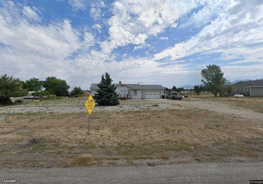
966 Bronco Dr Spring Creek, NV 89815
Estimated Value: $304,000 - $359,000
Studio
--
Bath
1,288
Sq Ft
$260/Sq Ft
Est. Value
About This Home
This home is located at 966 Bronco Dr, Spring Creek, NV 89815 and is currently estimated at $334,300, approximately $259 per square foot. 966 Bronco Dr is a home located in Elko County with nearby schools including Spring Creek Elementary School, Spring Creek Middle School, and Spring Creek High School.
Ownership History
Date
Name
Owned For
Owner Type
Purchase Details
Closed on
May 17, 2012
Sold by
Jacobson Patrick E and Jacobson Mary Lou
Bought by
Jacobson Patrick E and Jacobson Mary Lou
Current Estimated Value
Purchase Details
Closed on
May 2, 2007
Sold by
Stokley Thomas Michael
Bought by
Jacobson Patrick E and Jacobson Mary L
Purchase Details
Closed on
Feb 8, 2005
Sold by
Murray Randy L and Murray Nicola M
Bought by
Stokley Thomas Michael
Create a Home Valuation Report for This Property
The Home Valuation Report is an in-depth analysis detailing your home's value as well as a comparison with similar homes in the area
Purchase History
| Date | Buyer | Sale Price | Title Company |
|---|---|---|---|
| Jacobson Patrick E | -- | None Available | |
| Jacobson Patrick E | $200,000 | Stewart Title | |
| Stokley Thomas Michael | $130,000 | First American Title Co Of N |
Source: Public Records
Tax History
| Year | Tax Paid | Tax Assessment Tax Assessment Total Assessment is a certain percentage of the fair market value that is determined by local assessors to be the total taxable value of land and additions on the property. | Land | Improvement |
|---|---|---|---|---|
| 2025 | $1,514 | $70,409 | $21,000 | $49,409 |
| 2024 | $1,514 | $71,432 | $21,000 | $50,432 |
| 2023 | $1,332 | $58,580 | $11,200 | $47,380 |
| 2022 | $1,297 | $51,453 | $11,200 | $40,253 |
| 2021 | $1,288 | $50,484 | $11,200 | $39,284 |
| 2020 | $1,250 | $50,883 | $11,200 | $39,683 |
| 2019 | $1,213 | $45,745 | $8,750 | $36,995 |
| 2018 | $1,222 | $46,112 | $8,750 | $37,362 |
| 2017 | $1,047 | $43,361 | $8,750 | $34,611 |
| 2016 | $1,047 | $43,136 | $8,750 | $34,386 |
| 2015 | $1,041 | $42,715 | $8,750 | $33,965 |
| 2014 | $1,019 | $41,289 | $8,750 | $32,539 |
Source: Public Records
Map
Nearby Homes
- 936 Buckskin Place
- 904 Buckskin Cir
- 899 Eastlake Dr
- 726 Bronco Dr
- 728 Parkridge Pkwy
- 709 Parkridge Pkwy
- 539 Palace Pkwy
- 599 Wolf Creek Dr
- 768 Alpine Dr
- 632 Palace Pkwy
- 647 Abarr Dr
- 787 Clover Dr
- 629 Palace Pkwy
- 583 Abarr Dr
- 565 Abarr Dr
- 686 Westcott Dr
- 611 Westcott Dr
- 151 Sun Mountain Ln
- 515 Foxridge Dr
- 584 Thistle Dr
- 970 Bronco Dr
- 962 Bronco Dr
- 958 Bronco Dr
- 974 Bronco Dr
- 963 Bronco Dr
- 967 Bronco Dr
- 959 Bronco Dr
- 971 Bronco Dr
- 954 Bronco Dr
- 955 Bronco Dr
- 878 Parkridge Pkwy
- 950 Bronco Dr
- 872 Parkridge Pkwy
- 979 Bronco Dr
- 867 Palace Pkwy
- 884 Parkridge Pkwy
- 951 Bronco Dr
- 847 Palace Pkwy
- 860 Parkridge Pkwy
- 866 Parkridge Pkwy