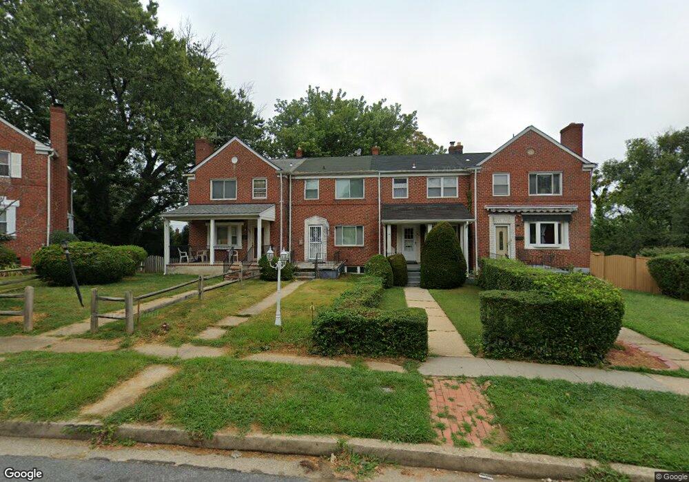
966 Masefield Rd Gwynn Oak, MD 21207
Estimated Value: $202,000 - $236,000
--
Bed
1
Bath
1,080
Sq Ft
$201/Sq Ft
Est. Value
About This Home
This home is located at 966 Masefield Rd, Gwynn Oak, MD 21207 and is currently estimated at $217,391, approximately $201 per square foot. 966 Masefield Rd is a home located in Baltimore County with nearby schools including Edmondson Heights Elementary School, Southwest Academy, and Woodlawn High School.
Ownership History
Date
Name
Owned For
Owner Type
Purchase Details
Closed on
May 15, 2017
Sold by
Crest Glenda
Bought by
Crest Glenda U
Current Estimated Value
Home Financials for this Owner
Home Financials are based on the most recent Mortgage that was taken out on this home.
Original Mortgage
$130,000
Outstanding Balance
$108,052
Interest Rate
4.08%
Mortgage Type
New Conventional
Estimated Equity
$109,339
Purchase Details
Closed on
Dec 22, 2003
Sold by
Thomas Nancy A
Bought by
Crest Glenda
Purchase Details
Closed on
May 3, 2002
Sold by
Thomas Nancy A
Bought by
Thomas Nancy A
Purchase Details
Closed on
Mar 17, 1988
Sold by
Shannon Elizabeth C
Bought by
Thomas Nancy A
Create a Home Valuation Report for This Property
The Home Valuation Report is an in-depth analysis detailing your home's value as well as a comparison with similar homes in the area
Home Values in the Area
Average Home Value in this Area
Purchase History
| Date | Buyer | Sale Price | Title Company |
|---|---|---|---|
| Crest Glenda U | -- | Transtar National Title | |
| Crest Glenda | $105,000 | -- | |
| Thomas Nancy A | -- | -- | |
| Thomas Nancy A | $68,000 | -- |
Source: Public Records
Mortgage History
| Date | Status | Borrower | Loan Amount |
|---|---|---|---|
| Open | Crest Glenda U | $130,000 |
Source: Public Records
Tax History Compared to Growth
Tax History
| Year | Tax Paid | Tax Assessment Tax Assessment Total Assessment is a certain percentage of the fair market value that is determined by local assessors to be the total taxable value of land and additions on the property. | Land | Improvement |
|---|---|---|---|---|
| 2025 | $2,436 | $151,533 | -- | -- |
| 2024 | $2,436 | $144,100 | $48,000 | $96,100 |
| 2023 | $1,126 | $140,600 | $0 | $0 |
| 2022 | $2,129 | $137,100 | $0 | $0 |
| 2021 | $1,902 | $133,600 | $48,000 | $85,600 |
| 2020 | $1,581 | $130,433 | $0 | $0 |
| 2019 | $1,542 | $127,267 | $0 | $0 |
| 2018 | $1,893 | $124,100 | $44,200 | $79,900 |
| 2017 | $1,702 | $119,133 | $0 | $0 |
| 2016 | $1,599 | $114,167 | $0 | $0 |
| 2015 | $1,599 | $109,200 | $0 | $0 |
| 2014 | $1,599 | $109,200 | $0 | $0 |
Source: Public Records
Map
Nearby Homes
- 961 Saint Agnes Ln
- 1422 N Forest Park Ave
- 1515 Langford Rd
- 1201 Saint Agnes Ln
- 1143 Granville Rd
- 5466 Addington Rd
- 1525 Clairidge Rd
- 1171 Granville Rd
- 1428 Clairidge Rd
- 1427 Barrett Rd
- 1638 N Forest Park Ave
- 1405 Ingleside Ave
- 711 W Hills Pkwy
- 5902 Prince George St
- 5901 Sunset Ave
- 5201 Old Frederick Rd
- 1206 Ingleside Ave
- 6 Cromarty Rd
- 1715 Langford Rd
- 639 Plymouth Rd
- 964 Masefield Rd
- 968 Masefield Rd
- 962 Masefield Rd
- 970 Masefield Rd
- 960 Masefield Rd
- 972 Masefield Rd
- 974 Masefield Rd
- 958 Masefield Rd
- 976 Masefield Rd
- 956 Masefield Rd
- 978 Masefield Rd
- 963 Masefield Rd
- 961 Masefield Rd
- 952 Masefield Rd
- 980 Masefield Rd
- 1024 Harwall Rd
- 1026 Harwall Rd
- 1028 Harwall Rd
- 1022 Harwall Rd
- 1449 N Forest Park Ave