Estimated Value: $228,000 - $267,000
3
Beds
1
Bath
1,239
Sq Ft
$199/Sq Ft
Est. Value
About This Home
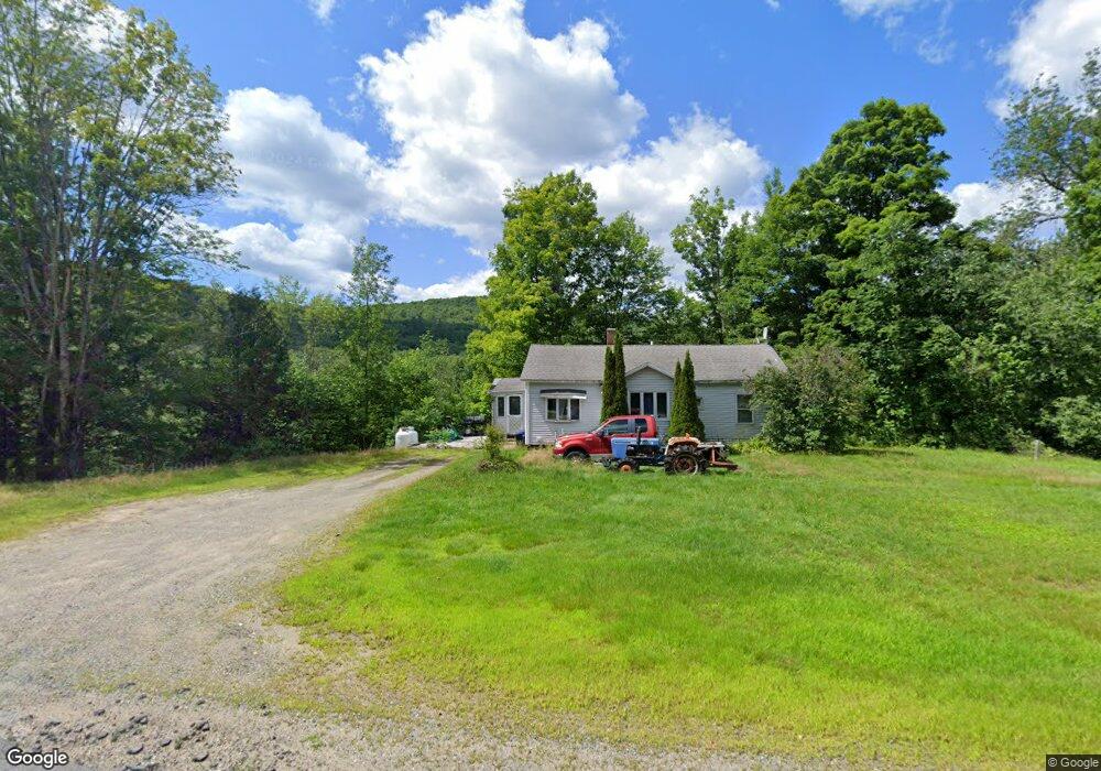
This home is located at 966 Stark Hwy, Stark, NH 03582 and is currently estimated at $246,193, approximately $198 per square foot. 966 Stark Hwy is a home located in Coos County.
Create a Home Valuation Report for This Property
The Home Valuation Report is an in-depth analysis detailing your home's value as well as a comparison with similar homes in the area
Home Values in the Area
Average Home Value in this Area
Tax History Compared to Growth
Tax History
| Year | Tax Paid | Tax Assessment Tax Assessment Total Assessment is a certain percentage of the fair market value that is determined by local assessors to be the total taxable value of land and additions on the property. | Land | Improvement |
|---|---|---|---|---|
| 2024 | $2,509 | $231,000 | $103,500 | $127,500 |
| 2023 | $2,157 | $104,100 | $43,200 | $60,900 |
| 2022 | $1,703 | $104,100 | $43,200 | $60,900 |
| 2021 | $2,074 | $104,100 | $43,200 | $60,900 |
| 2020 | $1,948 | $108,200 | $43,200 | $65,000 |
| 2019 | $1,955 | $108,200 | $43,200 | $65,000 |
| 2018 | $1,688 | $94,000 | $28,200 | $65,800 |
| 2017 | $1,710 | $94,000 | $28,200 | $65,800 |
| 2016 | $1,644 | $94,400 | $28,200 | $66,200 |
| 2015 | $1,692 | $99,500 | $28,200 | $71,300 |
| 2014 | $1,739 | $99,500 | $28,200 | $71,300 |
| 2013 | $1,980 | $113,300 | $28,700 | $84,600 |
Source: Public Records
Map
Nearby Homes
- 388 Percy Rd
- 338 Percy Rd
- 238 Northside Rd
- 112 Normand Rd
- 68 Short Rd
- 53 Montgomery Rd
- 00 Bell Hill Rd
- 00 Mountain View Rd
- 0 Mountain View Rd
- 25 Sullivan Rd
- 1435 Lost Nation Rd
- 406 New Hampshire 110
- 1116 W Milan Rd
- 13 Hillside Ave
- 48 Spring Rd
- 41 Crow Hill St
- 18 State St
- 102 Hillside Ave
- 50 Church St
- 38 Riverside Dr
- 974 Stark Hwy
- 984 Stark Hwy
- 988 Stark Hwy
- 997 Stark Hwy
- 590 Percy Rd
- 1029 Stark Hwy
- 0 Stark Hwy Unit 18 867453
- 0 Stark Hwy
- Lot 51 Stark Hwy
- 1033 Stark Hwy
- 1073 Stark Hwy
- 1083 Stark Hwy
- 26 Donovan Rd
- 836 Stark Hwy
- 1091 Stark Hwy
- 21 Mollybrook Dr
- 1116 Stark Hwy
- Lot 7 Percy Rd
- 376 Percy Rd
- 800 Stark Hwy