9667 Independence Dr Unit 9667 Westminster, CO 80021
Kings Mill NeighborhoodEstimated Value: $556,000 - $600,000
4
Beds
4
Baths
1,726
Sq Ft
$331/Sq Ft
Est. Value
About This Home
This home is located at 9667 Independence Dr Unit 9667, Westminster, CO 80021 and is currently estimated at $571,091, approximately $330 per square foot. 9667 Independence Dr Unit 9667 is a home located in Jefferson County with nearby schools including Lukas Elementary School, Wayne Carle Middle School, and Standley Lake High School.
Ownership History
Date
Name
Owned For
Owner Type
Purchase Details
Closed on
Jan 6, 2006
Sold by
Lupo Therese C and Lupo James A
Bought by
Neumann Sara M
Current Estimated Value
Purchase Details
Closed on
Dec 3, 1999
Sold by
Barbara Swartsfager Bill R Swartsfager
Bought by
Lupo Therese C and Lupo James A
Home Financials for this Owner
Home Financials are based on the most recent Mortgage that was taken out on this home.
Original Mortgage
$188,000
Interest Rate
7.93%
Purchase Details
Closed on
May 25, 1995
Sold by
The Village At Horizon Llc
Bought by
Swartsfager Bill R and Swartsfager Barbara
Home Financials for this Owner
Home Financials are based on the most recent Mortgage that was taken out on this home.
Original Mortgage
$133,100
Interest Rate
8.18%
Create a Home Valuation Report for This Property
The Home Valuation Report is an in-depth analysis detailing your home's value as well as a comparison with similar homes in the area
Home Values in the Area
Average Home Value in this Area
Purchase History
| Date | Buyer | Sale Price | Title Company |
|---|---|---|---|
| Neumann Sara M | $293,000 | Security Title | |
| Lupo Therese C | $235,000 | Land Title | |
| Swartsfager Bill R | $166,574 | North American Title |
Source: Public Records
Mortgage History
| Date | Status | Borrower | Loan Amount |
|---|---|---|---|
| Previous Owner | Lupo Therese C | $188,000 | |
| Previous Owner | Swartsfager Bill R | $133,100 |
Source: Public Records
Tax History Compared to Growth
Tax History
| Year | Tax Paid | Tax Assessment Tax Assessment Total Assessment is a certain percentage of the fair market value that is determined by local assessors to be the total taxable value of land and additions on the property. | Land | Improvement |
|---|---|---|---|---|
| 2024 | $2,385 | $31,324 | $6,030 | $25,294 |
| 2023 | $2,385 | $31,324 | $6,030 | $25,294 |
| 2022 | $2,253 | $28,976 | $4,170 | $24,806 |
| 2021 | $2,286 | $29,810 | $4,290 | $25,520 |
| 2020 | $2,176 | $28,531 | $4,290 | $24,241 |
| 2019 | $2,141 | $28,531 | $4,290 | $24,241 |
| 2018 | $1,896 | $24,419 | $3,600 | $20,819 |
| 2017 | $1,697 | $24,419 | $3,600 | $20,819 |
| 2016 | $1,712 | $22,846 | $2,866 | $19,980 |
| 2015 | $1,544 | $22,846 | $2,866 | $19,980 |
| 2014 | $1,544 | $19,216 | $2,229 | $16,987 |
Source: Public Records
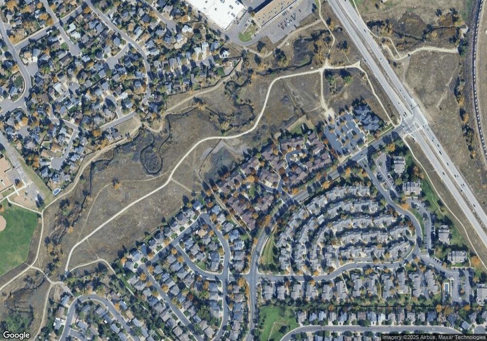
Map
Nearby Homes
- 9677 Independence Dr Unit 9677
- 9703 Independence Dr Unit 9703
- 9663 Brentwood Way Unit B
- 9702 Carr Cir
- 9705 Carr Cir
- 9567 Brentwood Way Unit A
- 9805 Garrison Ct
- 8755 W 96th Dr
- 9263 W 98th Way
- 9401 W 98th Ave
- 9805 Iris St
- 10690 Dover St
- 10074 Flower St
- 9991 Holland Cir
- 9324 Field Ln
- 9409 Brentwood St
- 10121 Flower St
- 9068 W 101st Ave
- 9863 Zephyr Dr
- 9008 W 101st Ave
- 9665 Independence Dr Unit 9665
- 9663 Independence Dr Unit 9663
- 9671 Independence Dr Unit 9671
- 9661 Independence Dr Unit 9661
- 9669 Independence Dr Unit 9669
- 9673 Independence Dr Unit 9673
- 9659 Independence Dr Unit 9659
- 9657 Independence Dr Unit 9657
- 9657 N Independence Dr
- 9675 Independence Dr Unit 9675
- 9655 Independence Dr Unit 9655
- 9679 Independence Dr Unit 9679
- 9651 Independence Dr Unit 9651
- 9647 Independence Dr Unit 9647
- 9653 Independence Dr Unit 9653
- 9645 Independence Dr
- 9681 Independence Dr Unit 9681
- 9649 Independence Dr Unit 9649
- 9643 Independence Dr Unit 9643
- 9683 Independence Dr