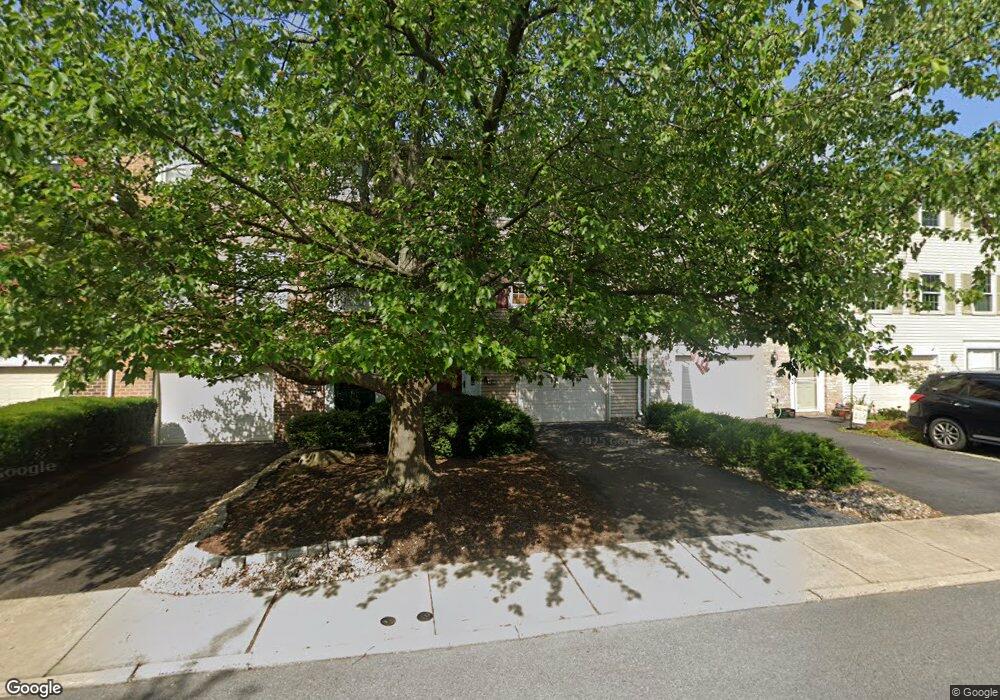
967 Barnside Rd Allentown, PA 18103
Estimated Value: $318,167 - $347,000
3
Beds
3
Baths
1,932
Sq Ft
$172/Sq Ft
Est. Value
About This Home
This home is located at 967 Barnside Rd, Allentown, PA 18103 and is currently estimated at $332,292, approximately $171 per square foot. 967 Barnside Rd is a home located in Lehigh County with nearby schools including Wescosville Elementary School, Lower Macungie Middle School, and Emmaus High School.
Ownership History
Date
Name
Owned For
Owner Type
Purchase Details
Closed on
May 29, 1998
Sold by
Mei Cheung and Mei Yi
Bought by
Miller Ronald F and Miller Frances K
Current Estimated Value
Purchase Details
Closed on
Nov 19, 1992
Sold by
Cheung Sam and Yi Mei
Bought by
Cheung Sam and Yi Mei
Purchase Details
Closed on
Jun 30, 1992
Sold by
Viechnicki Viechnicki M and Viechnicki Georgia
Bought by
Cheung Sam and Yi Mei
Purchase Details
Closed on
Feb 7, 1984
Sold by
Val-You Builders Inc
Bought by
Viechnicki Viechnicki M and Viechnicki Georgia
Purchase Details
Closed on
Aug 5, 1976
Bought by
Val-You Builders Inc
Create a Home Valuation Report for This Property
The Home Valuation Report is an in-depth analysis detailing your home's value as well as a comparison with similar homes in the area
Home Values in the Area
Average Home Value in this Area
Purchase History
| Date | Buyer | Sale Price | Title Company |
|---|---|---|---|
| Miller Ronald F | $108,000 | -- | |
| Cheung Sam | -- | -- | |
| Cheung Sam | $110,500 | -- | |
| Viechnicki Viechnicki M | $4,000 | -- | |
| Val-You Builders Inc | $90,000 | -- |
Source: Public Records
Tax History Compared to Growth
Tax History
| Year | Tax Paid | Tax Assessment Tax Assessment Total Assessment is a certain percentage of the fair market value that is determined by local assessors to be the total taxable value of land and additions on the property. | Land | Improvement |
|---|---|---|---|---|
| 2025 | $4,174 | $163,500 | $8,900 | $154,600 |
| 2024 | $4,038 | $163,500 | $8,900 | $154,600 |
| 2023 | $3,958 | $163,500 | $8,900 | $154,600 |
| 2022 | $3,864 | $163,500 | $154,600 | $8,900 |
| 2021 | $3,782 | $163,500 | $8,900 | $154,600 |
| 2020 | $3,746 | $163,500 | $8,900 | $154,600 |
| 2019 | $3,682 | $163,500 | $8,900 | $154,600 |
| 2018 | $3,634 | $163,500 | $8,900 | $154,600 |
| 2017 | $3,570 | $163,500 | $8,900 | $154,600 |
| 2016 | -- | $163,500 | $8,900 | $154,600 |
| 2015 | -- | $163,500 | $8,900 | $154,600 |
| 2014 | -- | $163,500 | $8,900 | $154,600 |
Source: Public Records
Map
Nearby Homes
- 1045 Barnside Rd
- 4626 N Hedgerow Dr
- 1270 Minesite Rd
- 4881 Spruce Rd
- 1385 Brookside Rd
- 5300 Hanover Dr
- 997 Village Round Unit K
- 997K Village Round Unit 104K
- 1037 Village Round Unit L
- 5133 Meadow Ln
- 5475 Hamilton Blvd Unit 7
- 5524 Stonecroft Ln
- 1675 Hamlet Dr
- 5280 Townsquare Dr
- 5619 Stonecroft Ln
- 1141 Glick Ave
- 5673 Wedge Ln
- 5175 Meadowview Dr
- 5736 Greens Dr
- 2117 Isabel Ln
- 963 Barnside Rd
- 971 Barnside Rd
- 959 Barnside Rd
- 975 Barnside Rd
- 979 Barnside Rd
- 955 Barnside Rd
- 951 Barnside Rd
- 983 Barnside Rd
- 970 Barnside Rd
- 966 Barnside Rd
- 947 Barnside Rd
- 987 Barnside Rd
- 962 Barnside Rd
- 991 Barnside Rd
- 958 Barnside Rd
- 943 Barnside Rd
- 939 Barnside Rd
- 995 Barnside Rd
- 952 Barnside Rd
- 948 Barnside Rd