Estimated Value: $223,259 - $268,000
Studio
2
Baths
1,677
Sq Ft
$144/Sq Ft
Est. Value
About This Home
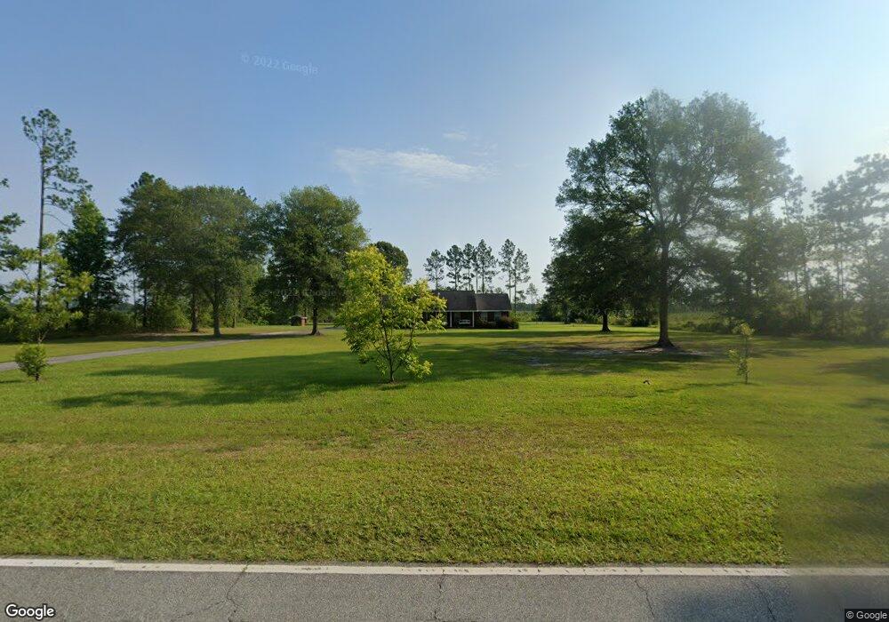
This home is located at 967 Broadhurst Rd, Jesup, GA 31546 and is currently estimated at $242,315, approximately $144 per square foot. 967 Broadhurst Rd is a home located in Wayne County with nearby schools including Jesup Elementary School, Arthur Williams Middle School, and Wayne County High School.
Ownership History
Date
Name
Owned For
Owner Type
Purchase Details
Closed on
Oct 4, 2019
Sold by
Spradley Shannon
Bought by
Priester Derek L
Current Estimated Value
Home Financials for this Owner
Home Financials are based on the most recent Mortgage that was taken out on this home.
Original Mortgage
$10,000,000
Interest Rate
3.4%
Mortgage Type
New Conventional
Purchase Details
Closed on
Sep 1, 2003
Sold by
Teringer Theodore L
Purchase Details
Closed on
Aug 1, 1997
Bought by
Teringer Theodore L
Purchase Details
Closed on
May 1, 1993
Purchase Details
Closed on
Nov 1, 1974
Create a Home Valuation Report for This Property
The Home Valuation Report is an in-depth analysis detailing your home's value as well as a comparison with similar homes in the area
Purchase History
| Date | Buyer | Sale Price | Title Company |
|---|---|---|---|
| Priester Derek L | $140,000 | -- | |
| Spradley Shannon | -- | -- | |
| -- | -- | -- | |
| Teringer Theodore L | -- | -- | |
| -- | $3,500 | -- | |
| -- | -- | -- |
Source: Public Records
Mortgage History
| Date | Status | Borrower | Loan Amount |
|---|---|---|---|
| Closed | Spradley Shannon | $10,000,000 |
Source: Public Records
Tax History
| Year | Tax Paid | Tax Assessment Tax Assessment Total Assessment is a certain percentage of the fair market value that is determined by local assessors to be the total taxable value of land and additions on the property. | Land | Improvement |
|---|---|---|---|---|
| 2025 | $1,960 | $77,408 | $2,663 | $74,745 |
| 2024 | $1,852 | $74,897 | $2,663 | $72,234 |
| 2023 | $1,978 | $65,929 | $2,663 | $63,266 |
| 2022 | $1,523 | $53,373 | $2,663 | $50,710 |
| 2021 | $1,479 | $48,864 | $2,663 | $46,201 |
| 2020 | $1,763 | $50,521 | $4,320 | $46,201 |
| 2019 | $1,635 | $50,521 | $4,320 | $46,201 |
| 2018 | $1,635 | $50,521 | $4,320 | $46,201 |
| 2017 | $1,408 | $50,521 | $4,320 | $46,201 |
| 2016 | $1,362 | $50,521 | $4,320 | $46,201 |
| 2014 | $1,366 | $50,521 | $4,320 | $46,201 |
| 2013 | -- | $50,521 | $4,320 | $46,201 |
Source: Public Records
Map
Nearby Homes
- 0 Rogers Break Unit 1656131
- TRACT 1 Loggan Ln
- TRACT 2 Loggan Ln
- 301 Broadhurst Rd
- 6064 U S 301
- 1554 Flowers Break Rd
- 5100 Flowers Branch Rd
- 80 Slover Rd
- 20 Club Dr
- 2903 S Us Hwy 301
- 49 Pine Forest Dr
- 0 Dale Mill Rd
- 12 Par Dr
- 9009 Waycross Hwy
- 868 Broadhurst Rd W
- 22 Birdie Dr
- 353 Chase Dr
- 13 N Eagle Dr
- 156 Hannah Dr
- 102 Highsmith Ave
- 88 Rogers Break Rd
- 526 Broadhurst Rd
- 480 Broadhurst Rd
- 451 Broadhurst Rd
- 386 Broadhurst Rd
- 0 Rogers Break Unit 7607800
- 0 Rogers Break Unit 161250
- 0 Rogers Break Unit 1655180
- 0 Rogers Break Unit 21157
- 0 Rogers Break Unit 18643
- 0 Rogers Break Unit 134163
- 0 Rogers Break Unit 135300
- 00 Broadhurst Gardi Rd
- 0 Broadhurst Rd E
- 490 Rogers Break Rd
- 6173 S Us Hwy 301
- 20 Broadhurst Rd E
Your Personal Tour Guide
Ask me questions while you tour the home.