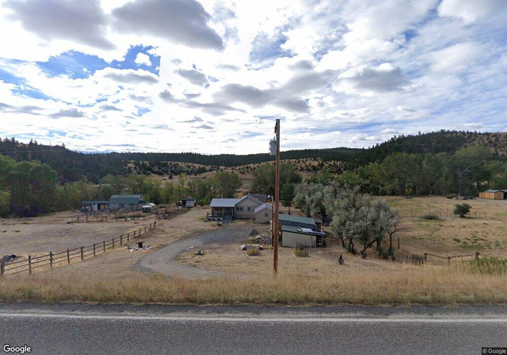
967 Mt Highway 2 W Whitehall, MT 59759
Estimated Value: $601,000 - $690,132
2
Beds
1
Bath
1,965
Sq Ft
$333/Sq Ft
Est. Value
About This Home
This home is located at 967 Mt Highway 2 W, Whitehall, MT 59759 and is currently estimated at $655,283, approximately $333 per square foot. 967 Mt Highway 2 W is a home located in Jefferson County with nearby schools including Whitehall Elementary School, Whitehall Middle School, and Whitehall High School.
Ownership History
Date
Name
Owned For
Owner Type
Purchase Details
Closed on
Mar 23, 2015
Sold by
Robertson Donald E and Robertson Cindy A
Bought by
Rollick Jim and Rollick Denise L
Current Estimated Value
Home Financials for this Owner
Home Financials are based on the most recent Mortgage that was taken out on this home.
Original Mortgage
$150,000
Outstanding Balance
$114,288
Interest Rate
3.54%
Estimated Equity
$540,995
Purchase Details
Closed on
Jul 21, 2005
Sold by
Smith Dan W
Bought by
Robertson Donald E and Robertson Cindy A
Home Financials for this Owner
Home Financials are based on the most recent Mortgage that was taken out on this home.
Original Mortgage
$110,000
Interest Rate
5.56%
Mortgage Type
New Conventional
Create a Home Valuation Report for This Property
The Home Valuation Report is an in-depth analysis detailing your home's value as well as a comparison with similar homes in the area
Home Values in the Area
Average Home Value in this Area
Purchase History
| Date | Buyer | Sale Price | Title Company |
|---|---|---|---|
| Rollick Jim | -- | None Available | |
| Robertson Donald E | -- | None Available |
Source: Public Records
Mortgage History
| Date | Status | Borrower | Loan Amount |
|---|---|---|---|
| Open | Rollick Jim | $150,000 | |
| Previous Owner | Robertson Donald E | $110,000 |
Source: Public Records
Tax History Compared to Growth
Tax History
| Year | Tax Paid | Tax Assessment Tax Assessment Total Assessment is a certain percentage of the fair market value that is determined by local assessors to be the total taxable value of land and additions on the property. | Land | Improvement |
|---|---|---|---|---|
| 2025 | $2,063 | $466,700 | $0 | $0 |
| 2024 | $2,455 | $390,500 | $0 | $0 |
| 2023 | $2,510 | $390,500 | $0 | $0 |
| 2022 | $1,837 | $237,900 | $0 | $0 |
| 2021 | $1,583 | $237,900 | $0 | $0 |
| 2020 | $1,514 | $197,800 | $0 | $0 |
| 2019 | $1,436 | $185,900 | $0 | $0 |
| 2018 | $1,311 | $165,200 | $0 | $0 |
| 2017 | $1,048 | $165,200 | $0 | $0 |
| 2016 | $1,049 | $142,100 | $0 | $0 |
| 2015 | $932 | $142,100 | $0 | $0 |
| 2014 | $743 | $64,925 | $0 | $0 |
Source: Public Records
Map
Nearby Homes
- 967 Mt Highway 2 W
- 842 Mt Highway 2 W
- 180 Lower Rader Creek Rd
- TBD Cedar Hills Rd
- TBD Friendspring Rd
- 456 Friendspring Rd
- 34 Appe Ln
- 16 Friendspring Rd
- 11 Lost Moose Bend
- 91 Upper Radar Creek Rd
- tbd Upper Radar Creek Rd
- TBD Grace Rd
- 426 Friend Spring Rd
- 91 Upper Rader Creek Rd
- tbd Upper Rader Creek Rd
- 5845 Dry Creek Ranch Rd
- 39 Mcleod Estate
- 6 Angler Way
- 33 Fish Creek Rd
- 21 Ryan Rd
- 967 Mt Highway 2 W
- 967 Montana 2
- 973 Montana 2
- 973 Mt Highway 2 W
- 977 Mt Highway 2 W
- 5 Alaska Way
- 00 Alaska Way
- TBD Alaska Way
- 971 Mt Highway 2 W
- 930 Mt Highway 2 W
- 24 Lower Rader Creek Rd
- TBD Nhn Mt Highway 2 W
- 842 Montana 2
- 842 Mt Highway 2 W
- 25 Cox Ln
- 837 Cox Ln
- 969 Mt Highway 2 W
- 36 Lower Rader Creek Rd
- 21 Cox Ln
- 31 Lower Rader Creek Rd