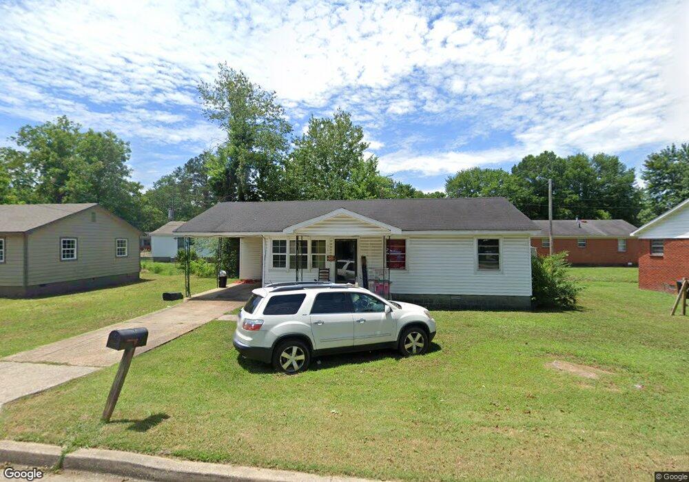
967 Scott St Brownsville, TN 38012
Estimated Value: $107,000 - $139,000
--
Bed
1
Bath
900
Sq Ft
$139/Sq Ft
Est. Value
About This Home
This home is located at 967 Scott St, Brownsville, TN 38012 and is currently estimated at $124,668, approximately $138 per square foot. 967 Scott St is a home located in Haywood County with nearby schools including Anderson Early Childhood Center, Haywood Elementary School, and East Side Elementary School.
Ownership History
Date
Name
Owned For
Owner Type
Purchase Details
Closed on
Jan 22, 1997
Sold by
Farmer James T
Bought by
Rufus Flagg
Current Estimated Value
Purchase Details
Closed on
Jul 15, 1991
Bought by
Farmer James T
Purchase Details
Closed on
Oct 26, 1977
Bought by
Peterson Callie Mae
Purchase Details
Closed on
Jan 1, 1977
Purchase Details
Closed on
Aug 14, 1973
Purchase Details
Closed on
Jan 2, 1969
Create a Home Valuation Report for This Property
The Home Valuation Report is an in-depth analysis detailing your home's value as well as a comparison with similar homes in the area
Home Values in the Area
Average Home Value in this Area
Purchase History
| Date | Buyer | Sale Price | Title Company |
|---|---|---|---|
| Rufus Flagg | $23,000 | -- | |
| Farmer James T | $22,000 | -- | |
| Peterson Callie Mae | -- | -- | |
| -- | $11,500 | -- | |
| -- | -- | -- | |
| -- | $9,100 | -- |
Source: Public Records
Tax History Compared to Growth
Tax History
| Year | Tax Paid | Tax Assessment Tax Assessment Total Assessment is a certain percentage of the fair market value that is determined by local assessors to be the total taxable value of land and additions on the property. | Land | Improvement |
|---|---|---|---|---|
| 2024 | -- | $21,100 | $1,625 | $19,475 |
| 2023 | $392 | $8,300 | $1,325 | $6,975 |
| 2022 | $392 | $8,300 | $1,325 | $6,975 |
| 2021 | $392 | $8,300 | $1,325 | $6,975 |
| 2020 | $392 | $8,300 | $1,325 | $6,975 |
| 2019 | $392 | $8,300 | $1,325 | $6,975 |
| 2018 | $372 | $7,950 | $1,325 | $6,625 |
| 2017 | $372 | $7,950 | $1,325 | $6,625 |
| 2016 | $354 | $7,950 | $1,325 | $6,625 |
| 2015 | $334 | $7,950 | $1,325 | $6,625 |
| 2014 | $334 | $7,950 | $1,325 | $6,625 |
Source: Public Records
Map
Nearby Homes
- 1014 N Monroe Ave
- 930 N Monroe Ave
- 1005 N Lafayette Ave
- 1020 N Lafayette Ave
- . Fairground Rd
- 620 N Lafayette Ave
- 515 N Lafayette Ave
- 119 Jelk St
- 521 Lark St
- 1237 Hess St
- 808 Hart Dr
- 480 Houston St
- 322 N Lafayette Ave
- 1434 Key Corner St
- 313 W College St
- 114 College Hill Village
- 106 College Hill Village
- 522 W College St
- 107 N Lafayette Ave
- 100 N Grand Ave