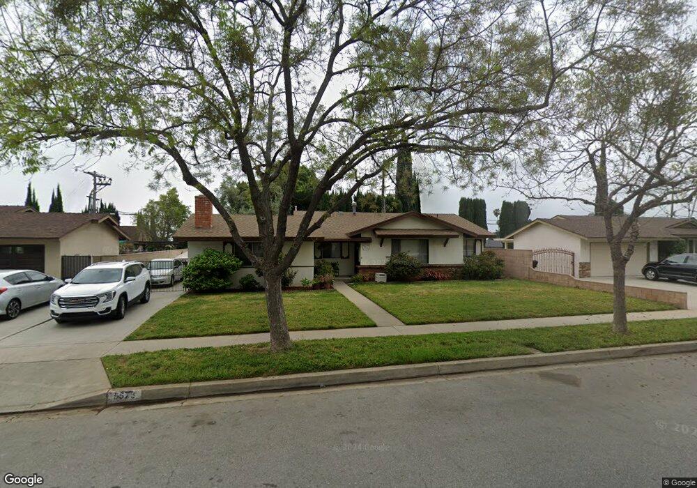
9675 Palo Alto St Rancho Cucamonga, CA 91730
Estimated Value: $702,036 - $795,000
3
Beds
2
Baths
1,640
Sq Ft
$461/Sq Ft
Est. Value
About This Home
This home is located at 9675 Palo Alto St, Rancho Cucamonga, CA 91730 and is currently estimated at $756,009, approximately $460 per square foot. 9675 Palo Alto St is a home located in San Bernardino County with nearby schools including Central Elementary, Cucamonga Middle, and Alta Loma High.
Ownership History
Date
Name
Owned For
Owner Type
Purchase Details
Closed on
Jul 26, 1999
Sold by
Douglas Arthur M
Bought by
Rico Alfred J and Rico Helen J
Current Estimated Value
Home Financials for this Owner
Home Financials are based on the most recent Mortgage that was taken out on this home.
Original Mortgage
$164,800
Outstanding Balance
$47,284
Interest Rate
7.63%
Mortgage Type
VA
Estimated Equity
$708,725
Create a Home Valuation Report for This Property
The Home Valuation Report is an in-depth analysis detailing your home's value as well as a comparison with similar homes in the area
Home Values in the Area
Average Home Value in this Area
Purchase History
| Date | Buyer | Sale Price | Title Company |
|---|---|---|---|
| Rico Alfred J | $160,000 | Old Republic Title Company |
Source: Public Records
Mortgage History
| Date | Status | Borrower | Loan Amount |
|---|---|---|---|
| Open | Rico Alfred J | $164,800 |
Source: Public Records
Tax History Compared to Growth
Tax History
| Year | Tax Paid | Tax Assessment Tax Assessment Total Assessment is a certain percentage of the fair market value that is determined by local assessors to be the total taxable value of land and additions on the property. | Land | Improvement |
|---|---|---|---|---|
| 2025 | $2,621 | $245,922 | $86,073 | $159,849 |
| 2024 | $2,621 | $241,100 | $84,385 | $156,715 |
| 2023 | $2,563 | $236,372 | $82,730 | $153,642 |
| 2022 | $2,521 | $231,737 | $81,108 | $150,629 |
| 2021 | $2,519 | $227,193 | $79,518 | $147,675 |
| 2020 | $2,447 | $224,864 | $78,703 | $146,161 |
| 2019 | $2,434 | $220,455 | $77,160 | $143,295 |
| 2018 | $2,365 | $216,132 | $75,647 | $140,485 |
| 2017 | $2,321 | $211,894 | $74,164 | $137,730 |
| 2016 | $2,292 | $207,739 | $72,710 | $135,029 |
| 2015 | $2,267 | $204,619 | $71,618 | $133,001 |
| 2014 | $2,200 | $200,611 | $70,215 | $130,396 |
Source: Public Records
Map
Nearby Homes
- 7420 London Ave
- 7430 Leucite Ave
- 7315 Klusman Ave
- 9599 Church St
- 9929 Palo Alto St
- 7534 Layton St
- 7678 Ramona Ave
- 9684 Hemlock St
- 9800 Base Line Rd Unit 79
- 7795 Malachite Ave
- 7611 Teak Way
- 9764 Louise Way
- 9854 Madera Ct
- 7730 Layton St
- 9765 Louise Way
- 7649 Dartmouth Ave
- 7285 Teak Way
- 9706 Bodega Ct
- 9800 Baseline Rd Unit 71
- 9800 Baseline Rd Unit 17
- 9663 Palo Alto St
- 9685 Palo Alto St
- 7522 Archibald Ave
- 9653 Palo Alto St
- 9662 Balsa St
- 9652 Balsa St
- 9676 Palo Alto St
- 9666 Palo Alto St
- 9686 Palo Alto St
- 9674 Balsa St
- 9656 Palo Alto St
- 9684 Balsa St
- 9641 Palo Alto St
- 9642 Balsa St
- 9646 Palo Alto St
- 9717 Palo Alto St
- 9631 Palo Alto St
- 9630 Balsa St
- 9636 Palo Alto St
- 7520 Burgundy Ave