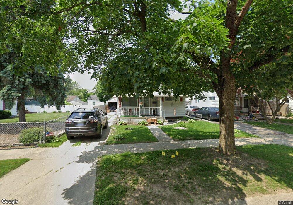
968 Hubbard Ave Flint, MI 48503
Mannhall Park NeighborhoodEstimated Value: $45,000 - $106,450
2
Beds
1
Bath
675
Sq Ft
$93/Sq Ft
Est. Value
About This Home
This home is located at 968 Hubbard Ave, Flint, MI 48503 and is currently estimated at $62,863, approximately $93 per square foot. 968 Hubbard Ave is a home located in Genesee County with nearby schools including Durant-Tuuri-Mott Elementary School, St. Paul Lutheran School, and First Flint Seventh-day Adventist Christian School.
Ownership History
Date
Name
Owned For
Owner Type
Purchase Details
Closed on
Mar 3, 2010
Sold by
Donovan Shaun and Secretary Of Housing & Urban D
Bought by
Zerka Stephen
Current Estimated Value
Purchase Details
Closed on
Oct 19, 2009
Sold by
Wells Fargo Bank Na
Bought by
The Secretary Of Housing & Urban Develop
Purchase Details
Closed on
Sep 16, 2009
Sold by
Seekings Wendy M
Bought by
Wells Fargo Bank Na
Purchase Details
Closed on
Mar 8, 2004
Sold by
King Bruce B and King Dawn L
Bought by
Seekings Wendy
Create a Home Valuation Report for This Property
The Home Valuation Report is an in-depth analysis detailing your home's value as well as a comparison with similar homes in the area
Home Values in the Area
Average Home Value in this Area
Purchase History
| Date | Buyer | Sale Price | Title Company |
|---|---|---|---|
| Zerka Stephen | $10,333 | None Available | |
| The Secretary Of Housing & Urban Develop | -- | None Available | |
| Wells Fargo Bank Na | $60,597 | None Available | |
| Seekings Wendy | $60,400 | First American Title |
Source: Public Records
Tax History Compared to Growth
Tax History
| Year | Tax Paid | Tax Assessment Tax Assessment Total Assessment is a certain percentage of the fair market value that is determined by local assessors to be the total taxable value of land and additions on the property. | Land | Improvement |
|---|---|---|---|---|
| 2025 | $735 | $19,700 | $0 | $0 |
| 2024 | $689 | $19,900 | $0 | $0 |
| 2023 | $681 | $17,500 | $0 | $0 |
| 2022 | $0 | $14,200 | $0 | $0 |
| 2021 | $686 | $12,100 | $0 | $0 |
| 2020 | $641 | $10,900 | $0 | $0 |
| 2019 | $633 | $9,800 | $0 | $0 |
| 2018 | $602 | $10,500 | $0 | $0 |
| 2017 | $589 | $0 | $0 | $0 |
| 2016 | $586 | $0 | $0 | $0 |
| 2015 | -- | $0 | $0 | $0 |
| 2014 | -- | $0 | $0 | $0 |
| 2012 | -- | $7,200 | $0 | $0 |
Source: Public Records
Map
Nearby Homes
- 976 Barney Ave
- 996 Barney Ave
- 960 Mann Ave
- 960 Salisbury Ave
- 916 Mann Ave
- 3821 W Court St
- 1017 Stocker Ave
- 3921 Joyner St
- 959 Tacken St
- 3413 Augusta St
- 3414 Van Buren Ave
- 1010 Hughes Ave
- 863 Tacken St
- 1122 Stocker Ave
- 874 Tacken St
- 870 Tacken St
- 1217 Barney Ave
- 911 Hughes Ave
- 3801 Augusta St
- 866 Tacken St
- 964 Hubbard Ave
- 976 Hubbard Ave
- 960 Hubbard Ave
- 967 S Ballenger Hwy
- 971 S Ballenger Hwy
- 963 S Ballenger Hwy
- 956 Hubbard Ave
- 980 Hubbard Ave
- 975 S Ballenger Hwy
- 959 S Ballenger Hwy
- 979 S Ballenger Hwy
- 955 S Ballenger Hwy
- 967 Hubbard Ave
- 952 Hubbard Ave
- 984 Hubbard Ave
- 963 Hubbard Ave
- 971 Hubbard Ave
- 959 Hubbard Ave
- 975 Hubbard Ave
- 983 S Ballenger Hwy