968 Patrick Place Unit 68 Chalfont, PA 18914
Estimated Value: $344,000 - $434,000
2
Beds
2
Baths
2,160
Sq Ft
$173/Sq Ft
Est. Value
About This Home
This home is located at 968 Patrick Place Unit 68, Chalfont, PA 18914 and is currently estimated at $373,985, approximately $173 per square foot. 968 Patrick Place Unit 68 is a home located in Bucks County with nearby schools including Pine Run Elementary School, Tohickon Middle School, and Central Bucks High School-West.
Ownership History
Date
Name
Owned For
Owner Type
Purchase Details
Closed on
Jun 9, 2000
Sold by
Amelung James C and Amelung Linda S
Bought by
Amelung Ryan J and Amelung Patricia J
Current Estimated Value
Home Financials for this Owner
Home Financials are based on the most recent Mortgage that was taken out on this home.
Original Mortgage
$80,800
Interest Rate
8.24%
Purchase Details
Closed on
Aug 5, 1996
Sold by
Lindsey Michael S and Lindsey Nancy J
Bought by
Amelung James C and Amelung Linda S
Create a Home Valuation Report for This Property
The Home Valuation Report is an in-depth analysis detailing your home's value as well as a comparison with similar homes in the area
Home Values in the Area
Average Home Value in this Area
Purchase History
| Date | Buyer | Sale Price | Title Company |
|---|---|---|---|
| Amelung Ryan J | -- | -- | |
| Amelung James C | $99,000 | -- |
Source: Public Records
Mortgage History
| Date | Status | Borrower | Loan Amount |
|---|---|---|---|
| Previous Owner | Amelung Ryan J | $80,800 |
Source: Public Records
Tax History Compared to Growth
Tax History
| Year | Tax Paid | Tax Assessment Tax Assessment Total Assessment is a certain percentage of the fair market value that is determined by local assessors to be the total taxable value of land and additions on the property. | Land | Improvement |
|---|---|---|---|---|
| 2025 | $4,598 | $25,680 | -- | $25,680 |
| 2024 | $4,598 | $25,680 | $0 | $25,680 |
| 2023 | $4,405 | $25,680 | $0 | $25,680 |
| 2022 | $4,357 | $25,680 | $0 | $25,680 |
| 2021 | $4,309 | $25,680 | $0 | $25,680 |
| 2020 | $4,309 | $25,680 | $0 | $25,680 |
| 2019 | $4,283 | $25,680 | $0 | $25,680 |
| 2018 | $4,283 | $25,680 | $0 | $25,680 |
| 2017 | $4,219 | $25,680 | $0 | $25,680 |
| 2016 | $4,219 | $25,680 | $0 | $25,680 |
| 2015 | -- | $25,680 | $0 | $25,680 |
| 2014 | -- | $25,680 | $0 | $25,680 |
Source: Public Records
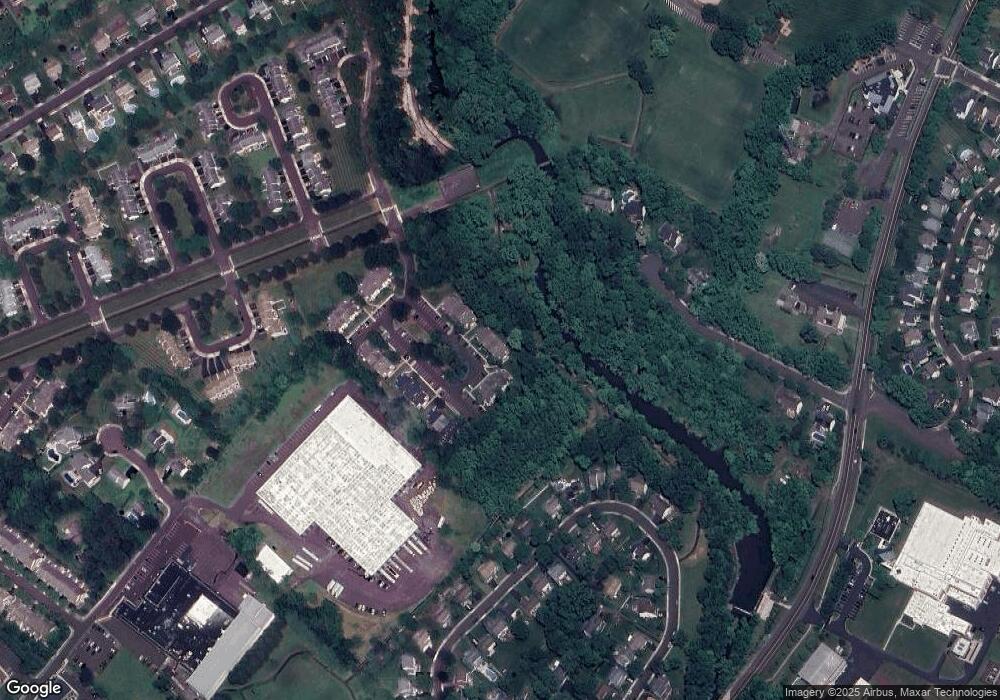
Map
Nearby Homes
- 1075 Patrick Place Unit 75
- 172 Chestnut St
- 425 Elm Cir
- 245 Coventry Rd
- The Brookhaven Plan at Barclay Hill
- The Brentwood Plan at Barclay Hill
- The Banbury Plan at Barclay Hill
- 10 Hellberg Ave
- 40 E Butler Ave
- 60 Becker Dr Unit 27
- 62 Becker Dr Unit 28
- 58 Becker Dr Unit 26
- 64 Becker Dr Unit 29
- 79 Becker Dr
- The Hamilton Plan at The Reserve at Chalfont
- The Jordan Plan at The Reserve at Chalfont
- 34 Warren Dr Unit 16
- 32 Warren Dr Unit 15
- 30 Warren Dr Unit 14
- 12 Warren Dr
- 967 Patrick Place Unit 67
- 966 Patrick Place Unit 66
- 965 Patrick Place Unit 65
- 972 Patrick Place Unit 72
- 970 Patrick Place Unit 70
- 971 Patrick Place Unit 71
- 861 Patrick Place Unit 61
- 862 Patrick Place Unit 62
- 863 Patrick Place Unit 63
- 864 Patrick Place Unit 64
- 858 Patrick Place Unit 58
- 860 Patrick Place Unit 60
- 1073 Patrick Place Unit 73
- 857 Patrick Place
- 1076 Patrick Place Unit 76
- 1074 Patrick Place Unit 74
- 859 Patrick Place Unit 59
- 1080 Patrick Place Unit 80
- 1078 Patrick Place Unit 78
- 1077 Patrick Place Unit 77