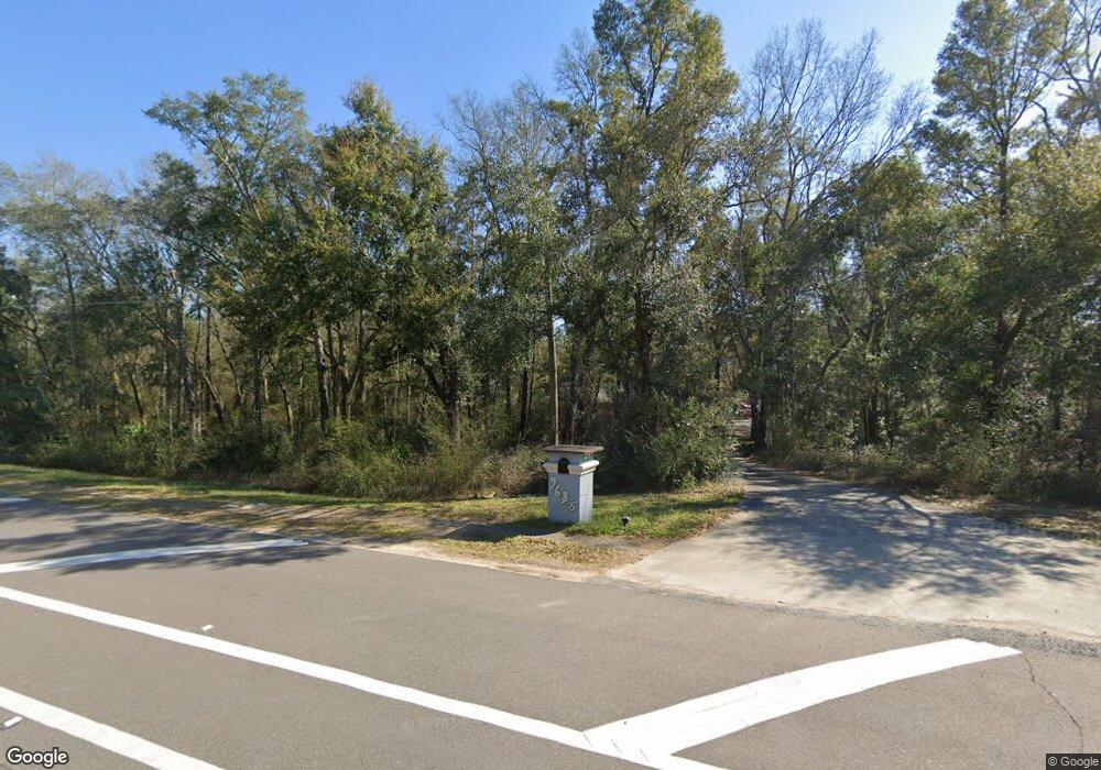
9685 Mobile Hwy Pensacola, FL 32526
Beulah NeighborhoodEstimated Value: $461,000 - $557,000
--
Bed
2
Baths
2,343
Sq Ft
$216/Sq Ft
Est. Value
About This Home
This home is located at 9685 Mobile Hwy, Pensacola, FL 32526 and is currently estimated at $505,233, approximately $215 per square foot. 9685 Mobile Hwy is a home located in Escambia County with nearby schools including Beulah Elementary School, Beulah Middle School, and Pine Forest High School.
Ownership History
Date
Name
Owned For
Owner Type
Purchase Details
Closed on
Mar 10, 2023
Sold by
Goolsby Patricia
Bought by
Goolsby Patricia and Hurst Melissa B
Current Estimated Value
Purchase Details
Closed on
Aug 31, 2018
Sold by
Jennings Richard B and Jennings Charati D
Bought by
Goolsby Patricia A
Home Financials for this Owner
Home Financials are based on the most recent Mortgage that was taken out on this home.
Original Mortgage
$299,000
Interest Rate
4.5%
Mortgage Type
VA
Create a Home Valuation Report for This Property
The Home Valuation Report is an in-depth analysis detailing your home's value as well as a comparison with similar homes in the area
Home Values in the Area
Average Home Value in this Area
Purchase History
| Date | Buyer | Sale Price | Title Company |
|---|---|---|---|
| Goolsby Patricia | $100 | -- | |
| Goolsby Patricia A | $299,000 | Attorney |
Source: Public Records
Mortgage History
| Date | Status | Borrower | Loan Amount |
|---|---|---|---|
| Previous Owner | Goolsby Patricia A | $299,000 |
Source: Public Records
Tax History Compared to Growth
Tax History
| Year | Tax Paid | Tax Assessment Tax Assessment Total Assessment is a certain percentage of the fair market value that is determined by local assessors to be the total taxable value of land and additions on the property. | Land | Improvement |
|---|---|---|---|---|
| 2024 | $125 | $255,307 | -- | -- |
| 2023 | $125 | $247,871 | $0 | $0 |
| 2022 | $125 | $240,652 | $0 | $0 |
| 2021 | $125 | $233,643 | $0 | $0 |
| 2020 | $125 | $230,418 | $0 | $0 |
| 2019 | $125 | $225,238 | $0 | $0 |
| 2018 | $1,812 | $159,049 | $0 | $0 |
| 2017 | $1,807 | $155,778 | $0 | $0 |
| 2016 | $1,792 | $152,574 | $0 | $0 |
| 2015 | $1,781 | $151,514 | $0 | $0 |
| 2014 | $1,775 | $150,312 | $0 | $0 |
Source: Public Records
Map
Nearby Homes
- 9570 Tower Ridge Rd
- 8056 Stream Ridge Rd
- 0 Magnolia Springs Rd
- 7616 Burnside Loop
- 8271 Mobile Hwy
- 9454 Lutoo Ln
- 14000 Tower Ridge Rd
- 7822 Burnside Loop
- 7597 Burnside Loop
- 9940 Mobile Hwy
- 7708 Burnside Loop
- 7823 Burnside Loop
- 7773 Burnside Loop
- 7859 Burnside Loop
- 7695 Burnside Loop
- 7975 Burnside Loop
- 7926 Burnside Loop
- 8038 Burnside Loop
- 7990 Burnside Loop
- 8251 Mobile Hwy
- 9695 Mobile Hwy
- 9699 Mobile Hwy
- 9701 Mobile Hwy
- 9401 Mobile Hwy
- 7600 W Nine Mile Rd
- 7618 W Nine Mile Rd
- 7939 Woodbrook Rd
- 9203 Wahoo Dr
- 7933 Woodbrook Rd
- 7945 Woodbrook Rd
- 7961 Woodbrook Rd
- 9600 Mobile Hwy
- 7967 Woodbrook Rd
- 7973 Woodbrook Rd
- 9500 Tower Ridge Rd
- 9145 Woodbrook Rd
- 9522 Tower Ridge Rd
- 9101 Brookline Dr
- W Woodbrook Rd
- 0 Woodbrook Rd
