969 Duncan Ln Lincolnton, NC 28092
Estimated Value: $455,000 - $869,000
3
Beds
2
Baths
2,754
Sq Ft
$218/Sq Ft
Est. Value
About This Home
This home is located at 969 Duncan Ln, Lincolnton, NC 28092 and is currently estimated at $601,000, approximately $218 per square foot. 969 Duncan Ln is a home with nearby schools including Iron Station Elementary School, East Lincoln Middle School, and East Lincoln High School.
Ownership History
Date
Name
Owned For
Owner Type
Purchase Details
Closed on
Feb 24, 2011
Sold by
First Federal Savings Bank
Bought by
Stroupe Dean N and Stroupe Sharon E
Current Estimated Value
Home Financials for this Owner
Home Financials are based on the most recent Mortgage that was taken out on this home.
Original Mortgage
$400,000
Outstanding Balance
$273,150
Interest Rate
4.66%
Mortgage Type
Unknown
Estimated Equity
$327,850
Purchase Details
Closed on
Oct 29, 2009
Sold by
Ferrell William B and Ferrell Lori L
Bought by
First Federal Savings Bank Of Lincolnton
Purchase Details
Closed on
May 26, 1994
Bought by
W.B.F. Contracting Co, Inc
Create a Home Valuation Report for This Property
The Home Valuation Report is an in-depth analysis detailing your home's value as well as a comparison with similar homes in the area
Home Values in the Area
Average Home Value in this Area
Purchase History
| Date | Buyer | Sale Price | Title Company |
|---|---|---|---|
| Stroupe Dean N | $500,000 | None Available | |
| First Federal Savings Bank Of Lincolnton | $625,000 | None Available | |
| W.B.F. Contracting Co, Inc | $68,000 | -- |
Source: Public Records
Mortgage History
| Date | Status | Borrower | Loan Amount |
|---|---|---|---|
| Open | Stroupe Dean N | $400,000 |
Source: Public Records
Tax History Compared to Growth
Tax History
| Year | Tax Paid | Tax Assessment Tax Assessment Total Assessment is a certain percentage of the fair market value that is determined by local assessors to be the total taxable value of land and additions on the property. | Land | Improvement |
|---|---|---|---|---|
| 2025 | $5,298 | $967,404 | $165,524 | $801,880 |
| 2024 | $5,211 | $967,404 | $165,524 | $801,880 |
| 2023 | $5,189 | $967,404 | $165,524 | $801,880 |
| 2022 | $3,693 | $569,664 | $115,809 | $453,855 |
| 2021 | $4,325 | $569,664 | $115,809 | $453,855 |
| 2020 | $4,096 | $569,664 | $115,809 | $453,855 |
| 2019 | $3,965 | $569,664 | $115,809 | $453,855 |
| 2018 | $3,952 | $543,947 | $118,587 | $425,360 |
| 2017 | $3,841 | $425,360 | $0 | $425,360 |
| 2016 | $3,841 | $542,572 | $117,212 | $425,360 |
| 2015 | $905 | $130,472 | $101,312 | $29,160 |
| 2014 | $1,002 | $144,601 | $102,481 | $42,120 |
Source: Public Records
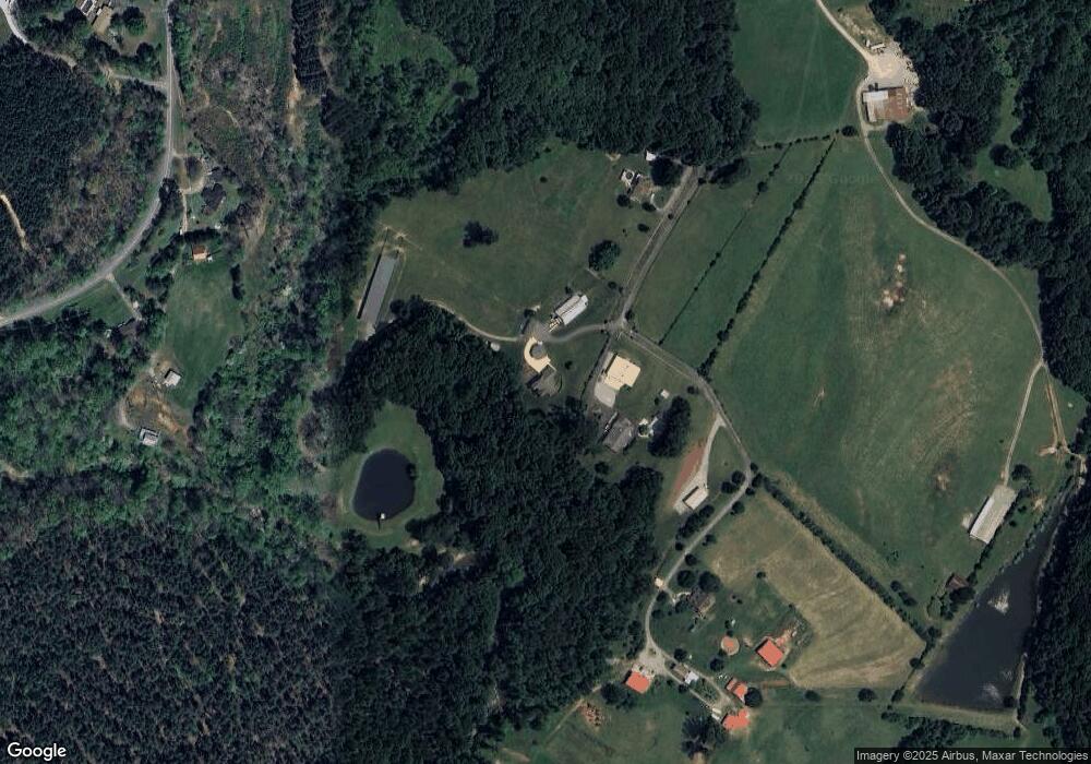
Map
Nearby Homes
- 1011 Lester Trail
- 1076 Furnace Rd
- 341 Camp Creek Rd
- 5045 Amity Ln Unit 12
- 000 N Carolina 73
- Lot 6 Walnut Ridge Rd Unit 6
- 812 Trinity Ln
- 132 Huncoat Hollow Ln
- 1894 N Carolina 73
- 1404 Old Mill Rd
- 00 Timber Rd
- 375 Timber Rd
- 4465 Brancer Ln
- 2170 Otis Dellinger Rd
- 1448 Weatherwood Dr
- 1711 Furnace Road Extension
- 429 Link Dr
- lot 22 Weatherwood Dr Unit 22
- 0000 Chase Dr Unit 3
- 2983 Tavistock Ln
- 967 Duncan Ln
- 971 Duncan Ln
- 756 Camp Creek Rd
- 0 Bridle Ct Unit 5 3610826
- 789 Camp Creek Rd
- 715 Camp Creek Rd
- 970 Duncan Ln
- 734 Camp Creek Rd
- 1014 Camp Creek Rd
- 916 Camp Creek Rd
- 002 Vesuvius Furnace Rd Unit 2
- 924 Camp Creek Rd
- 876 Camp Creek Rd
- 803 Camp Creek Rd
- 831 Camp Creek Rd
- 819 Camp Creek Rd
- 855 Camp Creek Rd
- 944 Camp Creek Rd
- 004 Vesuvius Furnace Rd Unit 4
- Lot 25 Camp Creek Rd