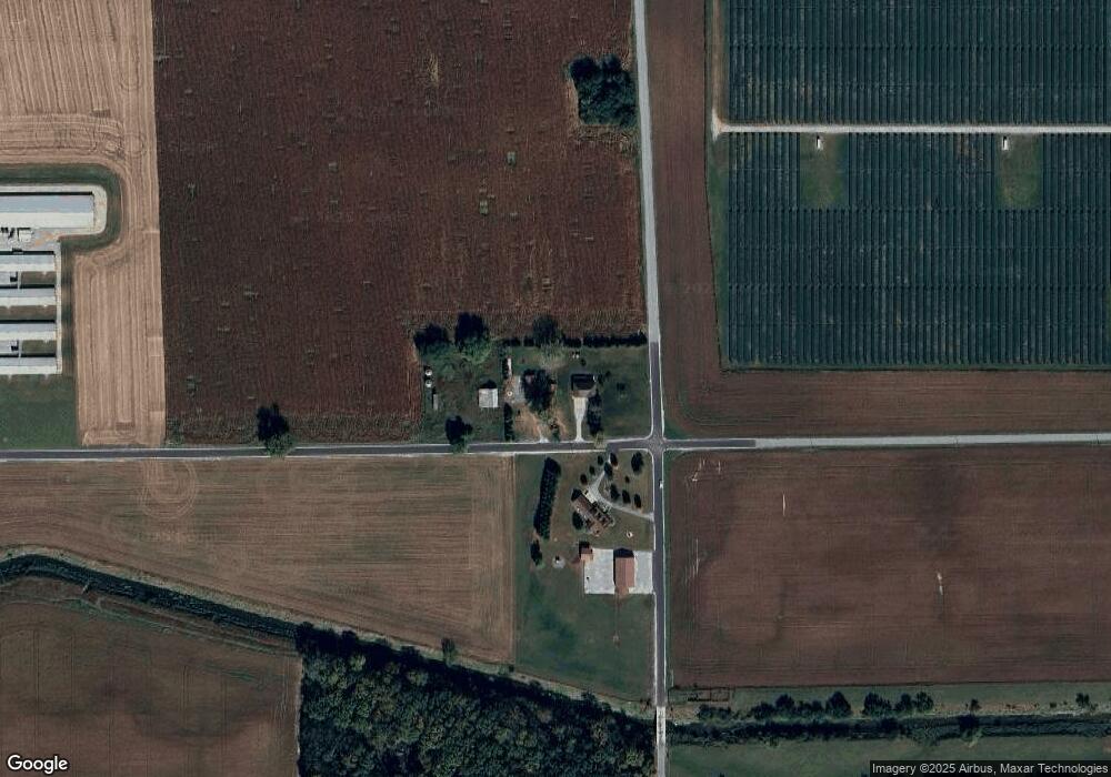
969 E Smithson Rd Reynolds, IN 47980
Estimated Value: $285,000 - $394,873
4
Beds
3
Baths
3,234
Sq Ft
$109/Sq Ft
Est. Value
About This Home
This home is located at 969 E Smithson Rd, Reynolds, IN 47980 and is currently estimated at $351,468, approximately $108 per square foot. 969 E Smithson Rd is a home located in White County with nearby schools including Frontier Elementary School and Frontier Junior/Senior High School.
Ownership History
Date
Name
Owned For
Owner Type
Purchase Details
Closed on
Apr 13, 2017
Sold by
Wiese Acam R and Wiese Krystle
Bought by
Williams Nathan Gates and Williams Breanne Alisha
Current Estimated Value
Home Financials for this Owner
Home Financials are based on the most recent Mortgage that was taken out on this home.
Original Mortgage
$225,000
Outstanding Balance
$184,405
Interest Rate
4.1%
Mortgage Type
New Conventional
Estimated Equity
$167,063
Create a Home Valuation Report for This Property
The Home Valuation Report is an in-depth analysis detailing your home's value as well as a comparison with similar homes in the area
Purchase History
| Date | Buyer | Sale Price | Title Company |
|---|---|---|---|
| Williams Nathan Gates | $281,250 | White Cnty Title Co |
Source: Public Records
Mortgage History
| Date | Status | Borrower | Loan Amount |
|---|---|---|---|
| Open | Williams Nathan Gates | $225,000 |
Source: Public Records
Tax History
| Year | Tax Paid | Tax Assessment Tax Assessment Total Assessment is a certain percentage of the fair market value that is determined by local assessors to be the total taxable value of land and additions on the property. | Land | Improvement |
|---|---|---|---|---|
| 2024 | $1,425 | $290,000 | $21,100 | $268,900 |
| 2023 | $1,433 | $293,200 | $21,100 | $272,100 |
| 2022 | $1,648 | $293,200 | $21,100 | $272,100 |
| 2021 | $1,563 | $268,600 | $21,100 | $247,500 |
| 2020 | $1,289 | $223,400 | $21,100 | $202,300 |
| 2019 | $1,212 | $216,500 | $21,100 | $195,400 |
| 2018 | $1,123 | $204,600 | $21,100 | $183,500 |
| 2017 | $1,122 | $203,000 | $21,100 | $181,900 |
| 2016 | $921 | $182,600 | $19,800 | $162,800 |
| 2014 | $978 | $186,700 | $19,800 | $166,900 |
Source: Public Records
Map
Nearby Homes
- 481 S 125 E
- 705 E 2nd St
- 107 W 4th St
- 302 N Kenton St
- 0 Franklin and Second St Unit 202516356
- 206 W Main St
- 1329 Greenwood Dr
- 523 S Western Heights Loop
- 504 S Park Dr
- 0 Gordon Rd
- 206 Royalwood Dr
- 511 Freeman Dr
- 503 Manor Ct
- 322 S 1st St
- 505 W Marion St
- 702 S Bluff St
- 418 S Main St
- 701 S Bluff St
- 714 Maple St
- 611 Hillcrest Dr
Your Personal Tour Guide
Ask me questions while you tour the home.