Estimated Value: $278,000 - $549,283
--
Bed
2
Baths
1,514
Sq Ft
$273/Sq Ft
Est. Value
About This Home
This home is located at 97 at Smith Rd, Atoka, TN 38004 and is currently estimated at $413,642, approximately $273 per square foot. 97 at Smith Rd is a home located in Tipton County with nearby schools including Atoka Elementary School, Munford Middle School, and Munford High School.
Ownership History
Date
Name
Owned For
Owner Type
Purchase Details
Closed on
Nov 3, 2022
Sold by
Parrish Carolyn S and Aubrey Tedford
Bought by
Acma Family Trust
Current Estimated Value
Purchase Details
Closed on
Jun 15, 2007
Sold by
Smith Wayne L
Bought by
Parrish Carolyn S
Purchase Details
Closed on
Jun 22, 2006
Sold by
Smith Gunetta B
Bought by
Parrish Carolyn S
Purchase Details
Closed on
Aug 7, 1990
Purchase Details
Closed on
Apr 19, 1979
Bought by
Smith A T
Purchase Details
Closed on
Jun 30, 1952
Purchase Details
Closed on
Feb 9, 1939
Create a Home Valuation Report for This Property
The Home Valuation Report is an in-depth analysis detailing your home's value as well as a comparison with similar homes in the area
Home Values in the Area
Average Home Value in this Area
Purchase History
| Date | Buyer | Sale Price | Title Company |
|---|---|---|---|
| Acma Family Trust | -- | -- | |
| Acma Family Trust | -- | None Listed On Document | |
| Parrish Carolyn S | -- | -- | |
| Smith Wayne L | -- | -- | |
| Parrish Carolyn S | -- | -- | |
| -- | -- | -- | |
| Smith A T | -- | -- | |
| -- | -- | -- | |
| -- | -- | -- |
Source: Public Records
Tax History Compared to Growth
Tax History
| Year | Tax Paid | Tax Assessment Tax Assessment Total Assessment is a certain percentage of the fair market value that is determined by local assessors to be the total taxable value of land and additions on the property. | Land | Improvement |
|---|---|---|---|---|
| 2024 | $1,313 | $58,225 | $35,500 | $22,725 |
| 2023 | $0 | $58,225 | $35,500 | $22,725 |
| 2022 | $1,377 | $44,875 | $29,050 | $15,825 |
| 2021 | $1,355 | $44,875 | $29,050 | $15,825 |
| 2020 | $1,354 | $44,875 | $29,050 | $15,825 |
| 2019 | $1,467 | $40,875 | $26,250 | $14,625 |
| 2018 | $1,467 | $40,875 | $26,250 | $14,625 |
| 2017 | $1,316 | $40,875 | $26,250 | $14,625 |
| 2016 | $1,316 | $40,875 | $26,250 | $14,625 |
| 2015 | $1,315 | $40,875 | $26,250 | $14,625 |
| 2014 | $1,215 | $40,874 | $0 | $0 |
Source: Public Records
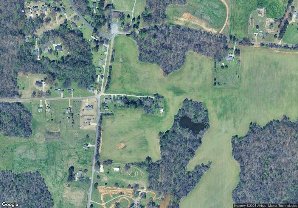
Map
Nearby Homes
- 91 Bethel Rd
- 0 Meade Lake Rd Unit 10196514
- 512 Kearns Cir
- 256 Azalea Dr
- 1240 Je Blaydes Pkwy
- 18 Fox Trot Ln
- 33 Hattie Ln
- 156 Farmer Trail
- 343 Brittany Ln
- 107 Farmer Trail
- 8645 Rosalee Ln
- 665 Betty Boyd Ln
- 102 Stroud Cir
- 135 Jaimes Ln
- 01 Cobb Ave
- 02 Cobb Ave
- 03 Cobb Ave
- 298 Anita Dr
- 376 Stroud Cir
- 242 Timothy Rd
- 37 at Smith Rd Unit 43
- 17 at Smith Rd Unit 21
- 30 Bethel Rd
- 3266 Tracy Rd
- 57 Bethel Rd
- 207 N Chinkapin Dr
- 3254 Tracy Rd
- 49 Rogers Corner Rd
- 3227 Tracy Rd
- 3226 Tracy Rd
- 65 Rogers Corner Rd Unit 61
- 3216 Tracy Rd
- 146 Bethel Rd
- 3193 Tracy Rd
- 120 Rogers Rd
- 33 Millie Ln
- 3186 Tracy Rd
- 3637 Tracy Rd
- 163 Bethel Rd
- 222 Bethel Rd